-

-
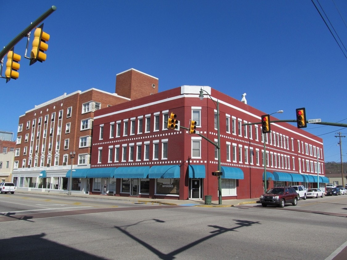
Primary Photo
-
-
Monthly Rent
Call for Rent
-
Bedrooms
1 - 2 bd
-
Bathrooms
1 - 2 ba
-
Square Feet
--

Pricing & Floor Plans
Check Back Soon for Upcoming Availability
| Beds | Baths | Average SF | Availability |
|---|---|---|---|
| 1 Bedroom 1 Bedroom 1 Br | 1 Bath 1 Bath 1 Ba | — | Call for Availability |
| 2 Bedrooms 2 Bedrooms 2 Br | 2 Baths 2 Baths 2 Ba | — | Call for Availability |
Fees and Policies
Details
Property Information
-
Built in 1942
-
24 units/3 stories
Contact
Located about halfway between Birmingham and Atlanta in northeastern Alabama, Anniston is a small town nestled in the foothills of the Appalachian Mountains. Anniston is surrounded by natural beauty, offering abundant opportunities for outdoor recreation. Anniston is home to more than 15 city parks as well as the nation’s longest paved rails to trails project, the Chief Ladiga Trail, which starts in Anniston and stretches all the way to Metro Atlanta.
Anniston’s historic downtown is brimming with small-town charm and character, providing many options for shopping, dining, and entertainment in classic buildings adorned with modern murals along the walkable Noble Street. The extensive exhibits featured in the Anniston Museum of Natural History and the Berman Museum offer a deep look into the past. Easy access to I-20 makes getting around from Anniston simple.
Learn more about living in Anniston| Colleges & Universities | Distance | ||
|---|---|---|---|
| Colleges & Universities | Distance | ||
| Drive: | 22 min | 13.5 mi | |
| Drive: | 40 min | 25.5 mi | |
| Drive: | 41 min | 28.1 mi |


View GreatSchools Rating Methodology
Data provided by GreatSchools.org © 2026. All rights reserved.
Scores provided by
Traffic
BusyAirport
CalmBusinesses
ActiveScores provided by
HowLoud What is a Sound Score Rating? A Sound Score Rating aggregates noise caused by vehicle traffic, airplane traffic and local sources. How It WorksHomestead Photos
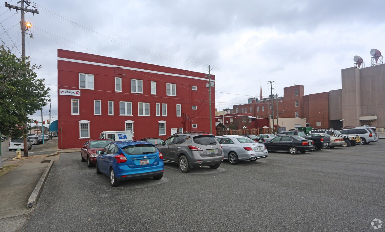
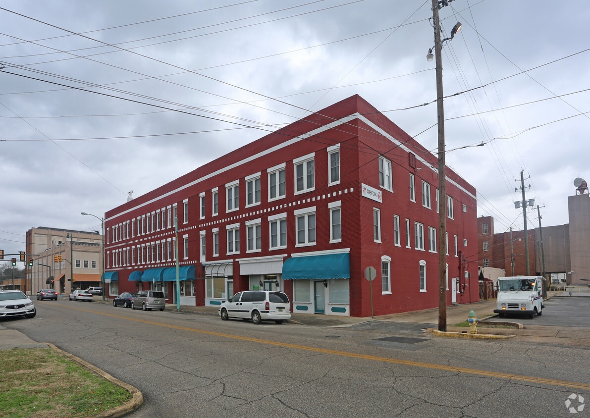
-
-
Primary Photo
-
Homestead does not offer in-unit laundry or shared facilities. Please contact the property to learn about nearby laundry options.
Utilities are not included in rent. Residents should plan to set up and pay for all services separately.
Contact this property for parking details.
Homestead does not allow pets, though service animals are always welcome in accordance with applicable laws.
Homestead is not currently offering any rent specials. Check back soon, as promotions change frequently.
While Homestead does not offer Matterport 3D tours, renters can request a tour directly through our online platform.
1310 Noble St
Anniston, AL 36201
Property Manager Responded