


1 / 25


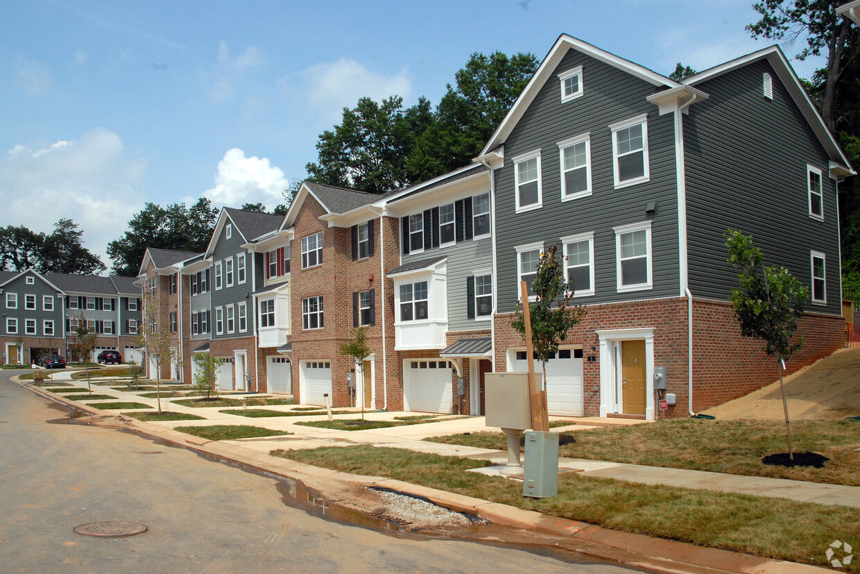
Hollins Station in Halethorpe is ready for you to visit. The location in Halethorpe's 21227 area is an ideal place to move. Here at this community, the community staff is ready and waiting to help you find your perfect floorplan. Make sure you to see the current floorplan options. Stop by Hollins Station today.
Hollins Station is an apartment community located in Baltimore County and the 21227 ZIP Code. This area is served by the Baltimore County Public Schools attendance zone.
Also simply called Lansdowne, Lansdowne-Baltimore Highlands is a great option for renters looking for a peaceful suburban area that is close enough to enjoy the perks of the city. Lansdowne is about seven miles southwest of Downtown Baltimore while Washington, DC is about an hour’s drive away. Residents have access to several restaurants and shopping centers in or near Lansdowne. Green spaces like the Sandy Hills Skate Park and Southwest Area Park add to the area’s suburban feel. Great for commuters, several highways run through Lansdowne including Interstate 895 and 695. Lansdowne is also just six miles north of Baltimore/Washington International Thurgood Marshall Airport, so traveling out of state is convenient as well. The area has apartments, houses, and townhomes for rent for every budget.
Learn more about living in Lansdowne-Baltimore Highlands| Colleges & Universities | Distance | ||
|---|---|---|---|
| Colleges & Universities | Distance | ||
| Drive: | 11 min | 5.7 mi | |
| Drive: | 12 min | 5.9 mi | |
| Drive: | 11 min | 6.2 mi | |
| Drive: | 14 min | 7.3 mi |


Transportation options available in Halethorpe include Patapsco, located 2.2 miles from Hollins Station. Hollins Station is near Baltimore/Washington International Thurgood Marshall, located 6.1 miles or 11 minutes away, and Ronald Reagan Washington Ntl, located 38.5 miles or 58 minutes away.
| Transit / Subway | Distance | ||
|---|---|---|---|
| Transit / Subway | Distance | ||
|
|
Drive: | 6 min | 2.2 mi |
|
|
Drive: | 6 min | 2.5 mi |
|
|
Drive: | 7 min | 2.5 mi |
|
|
Drive: | 7 min | 3.0 mi |
|
|
Drive: | 7 min | 3.5 mi |
| Commuter Rail | Distance | ||
|---|---|---|---|
| Commuter Rail | Distance | ||
|
|
Drive: | 5 min | 2.2 mi |
| Drive: | 7 min | 2.8 mi | |
| Drive: | 7 min | 2.8 mi | |
| Drive: | 8 min | 4.0 mi | |
|
|
Drive: | 8 min | 4.0 mi |
| Airports | Distance | ||
|---|---|---|---|
| Airports | Distance | ||
|
Baltimore/Washington International Thurgood Marshall
|
Drive: | 11 min | 6.1 mi |
|
Ronald Reagan Washington Ntl
|
Drive: | 58 min | 38.5 mi |
Time and distance from Hollins Station.
| Shopping Centers | Distance | ||
|---|---|---|---|
| Shopping Centers | Distance | ||
| Walk: | 16 min | 0.9 mi | |
| Drive: | 3 min | 1.2 mi | |
| Drive: | 3 min | 1.3 mi |
| Parks and Recreation | Distance | ||
|---|---|---|---|
| Parks and Recreation | Distance | ||
|
Baltimore Rowing Center
|
Drive: | 9 min | 3.6 mi |
|
Carroll Park
|
Drive: | 9 min | 4.3 mi |
|
B&O Railroad Museum
|
Drive: | 11 min | 5.5 mi |
|
Maryland Science Center
|
Drive: | 13 min | 7.1 mi |
|
Federal Hill Park
|
Drive: | 13 min | 7.1 mi |
| Hospitals | Distance | ||
|---|---|---|---|
| Hospitals | Distance | ||
| Drive: | 7 min | 2.7 mi | |
| Drive: | 10 min | 4.2 mi | |
| Drive: | 11 min | 5.3 mi |
| Military Bases | Distance | ||
|---|---|---|---|
| Military Bases | Distance | ||
| Drive: | 24 min | 14.3 mi |
What Are Walk Score®, Transit Score®, and Bike Score® Ratings?
Walk Score® measures the walkability of any address. Transit Score® measures access to public transit. Bike Score® measures the bikeability of any address.
What is a Sound Score Rating?
A Sound Score Rating aggregates noise caused by vehicle traffic, airplane traffic and local sources
4374 Hollins Ferry Rd
Halethorpe, MD 21227


