
Atlantic Times Square
580 N Atlantic Blvd,
Monterey Park, CA 91754
2-3 Beds $3,500 - $4,000
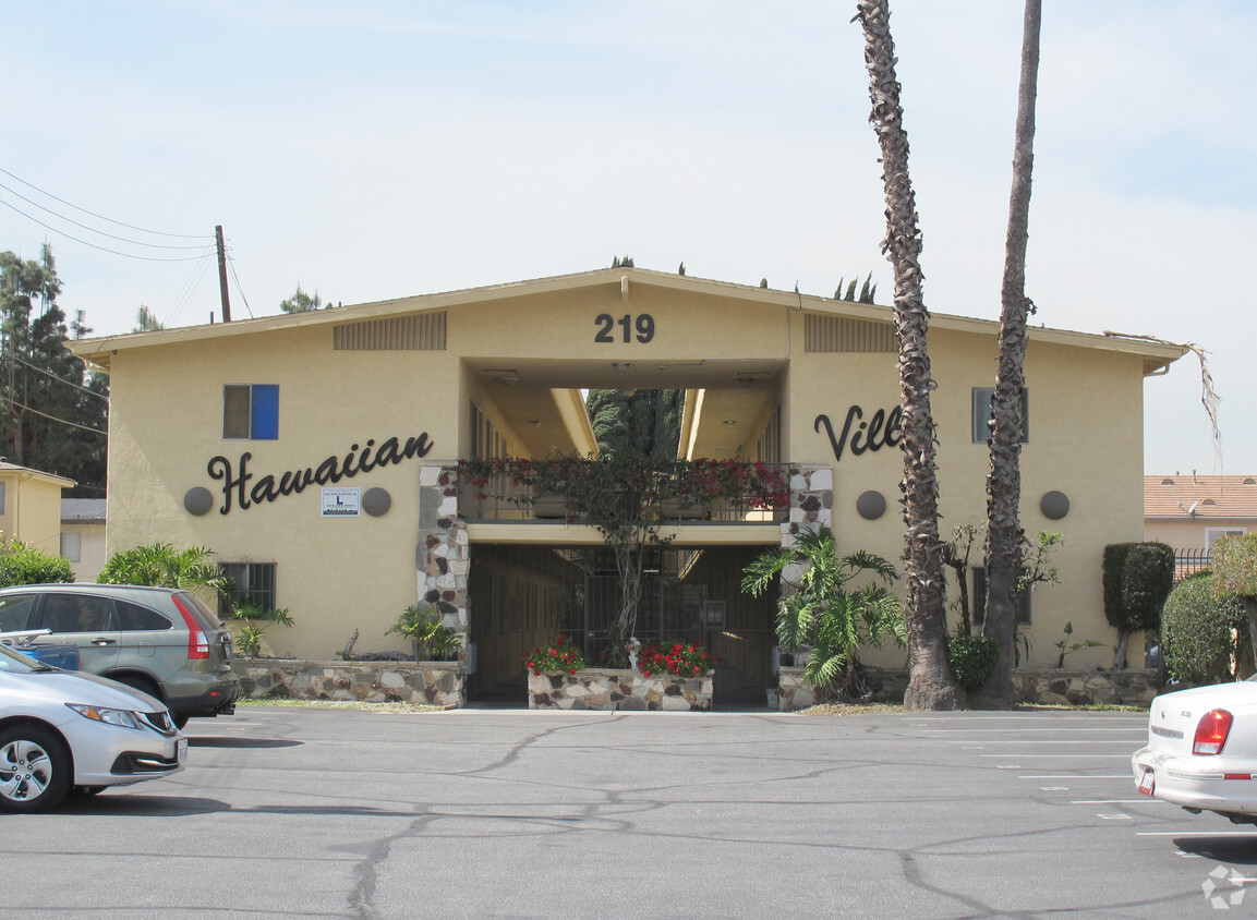

Hawaiian Villa in Monterey Park is ready for you to move in. Located at 219 S. New Ave in Monterey Park, this community has much to offer its residents. Make a visit to check out the apartment floorplan options. You'll experience a variety of features and amenities at this community like smoke free options, convenient on-site parking options, and high-speed internet access. It's time to love where you live. Stop by for a visit today.
Hawaiian Villa is an apartment community located in Los Angeles County and the 91755 ZIP Code. This area is served by the Garvey Elementary attendance zone.
Air Conditioning
Dishwasher
Refrigerator
Heating
Garvey is a predominantly residential neighborhood located in the heart of San Gabriel Valley. Complemented by cacti and palm trees, a variety of moderately-priced to upscale Mediterranean-style houses, and apartments dot the neighborhood. Garvey has several schools, parks, stores, authentic restaurants, and international grocery stores. Residents enjoy access to several roadways including Interstate 710, Interstate 10, and Highway 60. Downtown Los Angeles, which is just 10 miles away, and other major destinations are convenient to Garvey. If you’re looking for a family-oriented neighborhood or a quiet place convenient for commuting, Garvey is a great choice.
Learn more about living in Garvey| Colleges & Universities | Distance | ||
|---|---|---|---|
| Colleges & Universities | Distance | ||
| Drive: | 8 min | 3.6 mi | |
| Drive: | 10 min | 5.1 mi | |
| Drive: | 13 min | 6.8 mi | |
| Drive: | 14 min | 7.2 mi |


Transportation options available in Monterey Park include Atlantic, located 3.8 miles from Hawaiian Villa. Hawaiian Villa is near Bob Hope, located 23.8 miles or 32 minutes away, and Long Beach (Daugherty Field), located 24.2 miles or 35 minutes away.
| Transit / Subway | Distance | ||
|---|---|---|---|
| Transit / Subway | Distance | ||
|
|
Drive: | 9 min | 3.8 mi |
|
|
Drive: | 9 min | 4.2 mi |
| Drive: | 11 min | 4.7 mi | |
|
|
Drive: | 11 min | 6.6 mi |
|
|
Drive: | 14 min | 6.7 mi |
| Commuter Rail | Distance | ||
|---|---|---|---|
| Commuter Rail | Distance | ||
|
|
Drive: | 11 min | 5.2 mi |
|
|
Drive: | 10 min | 5.7 mi |
|
|
Drive: | 16 min | 6.8 mi |
|
|
Drive: | 15 min | 9.3 mi |
| Drive: | 17 min | 13.1 mi |
| Airports | Distance | ||
|---|---|---|---|
| Airports | Distance | ||
|
Bob Hope
|
Drive: | 32 min | 23.8 mi |
|
Long Beach (Daugherty Field)
|
Drive: | 35 min | 24.2 mi |
Time and distance from Hawaiian Villa.
| Shopping Centers | Distance | ||
|---|---|---|---|
| Shopping Centers | Distance | ||
| Walk: | 8 min | 0.4 mi | |
| Walk: | 14 min | 0.8 mi | |
| Walk: | 15 min | 0.8 mi |
| Parks and Recreation | Distance | ||
|---|---|---|---|
| Parks and Recreation | Distance | ||
|
Whittier Narrows Recreation Area
|
Drive: | 12 min | 4.2 mi |
|
Whittier Narrows Nature Center
|
Drive: | 11 min | 5.8 mi |
|
Huntington Botanical Gardens
|
Drive: | 16 min | 5.9 mi |
|
Pio Pico State Historic Park
|
Drive: | 15 min | 6.8 mi |
|
Audubon Center at Debs Park
|
Drive: | 17 min | 11.2 mi |
| Hospitals | Distance | ||
|---|---|---|---|
| Hospitals | Distance | ||
| Drive: | 4 min | 1.4 mi | |
| Drive: | 5 min | 2.2 mi | |
| Drive: | 8 min | 3.1 mi |
| Military Bases | Distance | ||
|---|---|---|---|
| Military Bases | Distance | ||
| Drive: | 39 min | 25.8 mi | |
| Drive: | 36 min | 26.8 mi |
What Are Walk Score®, Transit Score®, and Bike Score® Ratings?
Walk Score® measures the walkability of any address. Transit Score® measures access to public transit. Bike Score® measures the bikeability of any address.
What is a Sound Score Rating?
A Sound Score Rating aggregates noise caused by vehicle traffic, airplane traffic and local sources

219 S New Ave
Monterey Park, CA 91755


 - Violet on Virgil")


 - AVA Burbank")
