
Catalonia
111 N Madison Ave,
Pasadena, CA 91101
$3,595 - $5,995
1-2 Beds

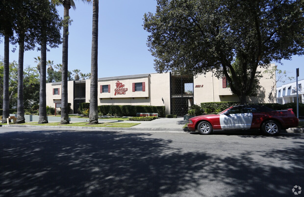
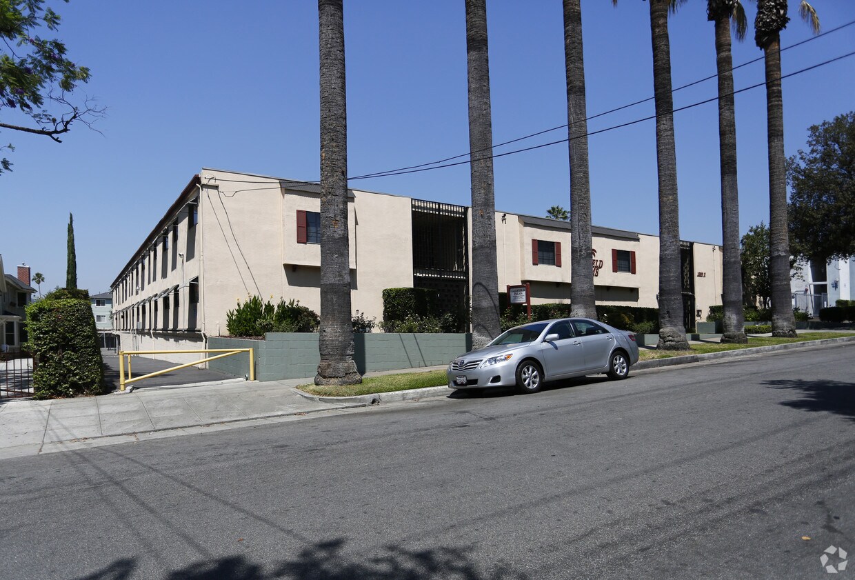

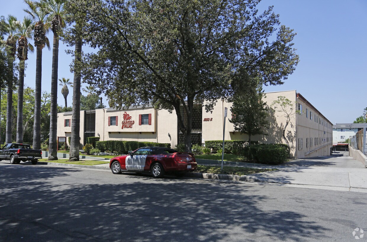
Find your new place at Garfield Palms. The professional leasing staff is ready to help you find the perfect floorplan option. Come by to view the available floorplans. You'll experience a unique selection of features and amenities at this community. Some of these include: smoke free options, convenient on-site parking options, and high-speed internet access. Drop by Garfield Palms today.
Garfield Palms is an apartment community located in Los Angeles County and the 91104 ZIP Code. This area is served by the Pasadena Unified attendance zone.
Pool
Laundry Facilities
Gated
24 Hour Access
High Speed Internet Access
Ceiling Fans
Smoke Free
Heating
Near the San Gabriel Mountains, where I-210 meets State Route 134 and becomes the Foothill Freeway, rests Pasadena’s Garfield Heights neighborhood. Primarily a residential area, Garfield Heights contains a number of markets, churches, and temples. Garfield Heights residents enjoy access to neighboring parks such as La Pintoresca Park and City of Pasadena Robinson Park.
There are a host of amenities located within close proximity to Garfield Heights. Among the many amenities are the Rose Bowl Stadium, Kidspace Children’s Museum, Norton Simon Museum, Brookside Golf and Country Club, Pasadena Convention Center, Paseo Colorado, and the California Institute of Technology.
Served by several Metro Local lines and Pasadena Transit routes, getting around Garfield Height is a breeze.
Learn more about living in Garfield Heights| Colleges & Universities | Distance | ||
|---|---|---|---|
| Colleges & Universities | Distance | ||
| Drive: | 4 min | 1.8 mi | |
| Drive: | 7 min | 3.2 mi | |
| Drive: | 10 min | 3.4 mi | |
| Drive: | 8 min | 3.5 mi |


Transportation options available in Pasadena include Memorial Park Station, located 1.7 miles from Garfield Palms. Garfield Palms is near Bob Hope, located 18.1 miles or 25 minutes away, and Los Angeles International, located 26.4 miles or 43 minutes away.
| Transit / Subway | Distance | ||
|---|---|---|---|
| Transit / Subway | Distance | ||
|
|
Drive: | 5 min | 1.7 mi |
|
|
Drive: | 5 min | 2.2 mi |
|
|
Drive: | 6 min | 2.5 mi |
|
|
Drive: | 5 min | 3.0 mi |
|
|
Drive: | 7 min | 3.3 mi |
| Commuter Rail | Distance | ||
|---|---|---|---|
| Commuter Rail | Distance | ||
|
|
Drive: | 15 min | 10.6 mi |
|
|
Drive: | 20 min | 11.3 mi |
|
|
Drive: | 22 min | 11.4 mi |
|
|
Drive: | 22 min | 12.0 mi |
| Drive: | 24 min | 15.4 mi |
| Airports | Distance | ||
|---|---|---|---|
| Airports | Distance | ||
|
Bob Hope
|
Drive: | 25 min | 18.1 mi |
|
Los Angeles International
|
Drive: | 43 min | 26.4 mi |
Time and distance from Garfield Palms.
| Shopping Centers | Distance | ||
|---|---|---|---|
| Shopping Centers | Distance | ||
| Walk: | 5 min | 0.3 mi | |
| Walk: | 14 min | 0.7 mi | |
| Walk: | 17 min | 0.9 mi |
| Parks and Recreation | Distance | ||
|---|---|---|---|
| Parks and Recreation | Distance | ||
|
Kidspace Children's Museum
|
Drive: | 5 min | 2.3 mi |
|
Jet Propulsion Laboratory
|
Drive: | 5 min | 2.5 mi |
|
Eaton Canyon Nature Center
|
Drive: | 7 min | 3.4 mi |
|
Huntington Botanical Gardens
|
Drive: | 11 min | 4.6 mi |
|
Descanso Gardens
|
Drive: | 10 min | 5.9 mi |
| Hospitals | Distance | ||
|---|---|---|---|
| Hospitals | Distance | ||
| Drive: | 6 min | 3.1 mi | |
| Drive: | 9 min | 5.0 mi | |
| Drive: | 10 min | 5.8 mi |
| Military Bases | Distance | ||
|---|---|---|---|
| Military Bases | Distance | ||
| Drive: | 40 min | 27.9 mi | |
| Drive: | 50 min | 31.7 mi |
What Are Walk Score®, Transit Score®, and Bike Score® Ratings?
Walk Score® measures the walkability of any address. Transit Score® measures access to public transit. Bike Score® measures the bikeability of any address.
What is a Sound Score Rating?
A Sound Score Rating aggregates noise caused by vehicle traffic, airplane traffic and local sources
1293 N Garfield Ave
Pasadena, CA 91104


 - Violet on Virgil")

 - AVA Burbank")


