
Province
398 W Valley Blvd,
San Gabriel, CA 91776
$2,800 - $6,565
Studio - 3 Beds
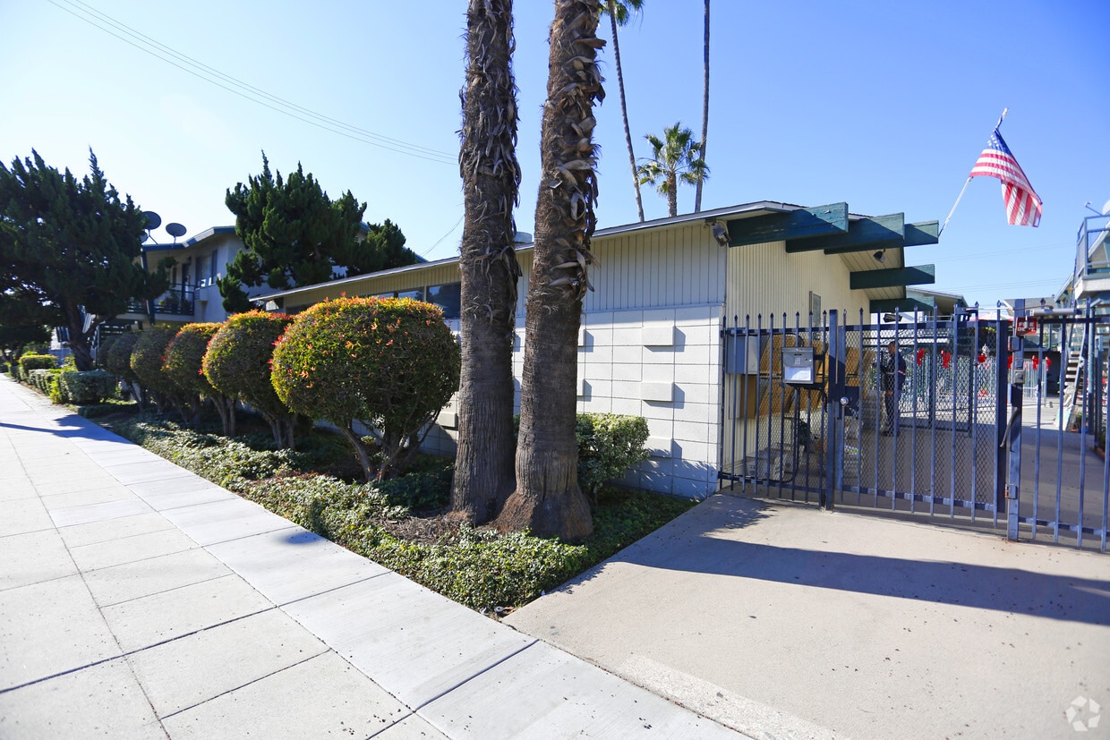

At Fashion Park, experience fine living. This community is located at 4405 Rosemead Blvd in Rosemead. Schedule a time to check out the current floorplan options. This community offers amenities and features that you'll enjoy. These include: high-speed internet access, convenient on-site parking options, and smoke free options. Stop by to schedule your tour.
Fashion Park is an apartment community located in Los Angeles County and the 91770 ZIP Code. This area is served by the Rosemead Elementary attendance zone.
Pool
Laundry Facilities
Clubhouse
Controlled Access
Air Conditioning
High Speed Internet Access
Refrigerator
Smoke Free
Rosemead is a pleasant city that keeps a small-town charm despite being 11 miles away from Los Angeles and Pasadena. With mountains on the horizon, palm trees lining the streets, and an average of 285 sunny days a year, Rosemead highlights the best of California. The community is dotted with parks, golf courses, and bike paths that let residents enjoy the outdoors. Apart from sunny weather, Rosemead residents enjoy shopping at the Shops at Montebello and being just minutes away from California State University. The rest of Rosemead remains relatively residential. Renters have choices of apartments, houses, and condos that are sure to suit just about anyone’s style.
Learn more about living in Rosemead| Colleges & Universities | Distance | ||
|---|---|---|---|
| Colleges & Universities | Distance | ||
| Drive: | 14 min | 6.2 mi | |
| Drive: | 13 min | 6.4 mi | |
| Drive: | 14 min | 6.7 mi | |
| Drive: | 14 min | 6.9 mi |


Transportation options available in Rosemead include Sierra Madre Villa Station, located 5.5 miles from Fashion Park. Fashion Park is near Bob Hope, located 25.6 miles or 34 minutes away, and Long Beach (Daugherty Field), located 26.0 miles or 37 minutes away.
| Transit / Subway | Distance | ||
|---|---|---|---|
| Transit / Subway | Distance | ||
|
|
Drive: | 10 min | 5.5 mi |
| Drive: | 12 min | 6.2 mi | |
|
|
Drive: | 14 min | 6.3 mi |
| Drive: | 13 min | 6.8 mi | |
|
|
Drive: | 15 min | 7.9 mi |
| Commuter Rail | Distance | ||
|---|---|---|---|
| Commuter Rail | Distance | ||
|
|
Drive: | 6 min | 2.5 mi |
|
|
Drive: | 16 min | 8.2 mi |
|
|
Drive: | 14 min | 8.9 mi |
|
|
Drive: | 19 min | 13.5 mi |
| Drive: | 18 min | 14.9 mi |
| Airports | Distance | ||
|---|---|---|---|
| Airports | Distance | ||
|
Bob Hope
|
Drive: | 34 min | 25.6 mi |
|
Long Beach (Daugherty Field)
|
Drive: | 37 min | 26.0 mi |
Time and distance from Fashion Park.
| Shopping Centers | Distance | ||
|---|---|---|---|
| Shopping Centers | Distance | ||
| Walk: | 9 min | 0.5 mi | |
| Walk: | 10 min | 0.6 mi | |
| Walk: | 11 min | 0.6 mi |
| Parks and Recreation | Distance | ||
|---|---|---|---|
| Parks and Recreation | Distance | ||
|
Whittier Narrows Recreation Area
|
Drive: | 9 min | 3.2 mi |
|
Huntington Botanical Gardens
|
Drive: | 13 min | 5.1 mi |
|
Los Angeles County Arboretum
|
Drive: | 11 min | 5.3 mi |
|
Whittier Narrows Nature Center
|
Drive: | 11 min | 5.4 mi |
|
Chilao Visitor Center
|
Drive: | 12 min | 7.0 mi |
| Hospitals | Distance | ||
|---|---|---|---|
| Hospitals | Distance | ||
| Walk: | 3 min | 0.2 mi | |
| Drive: | 5 min | 2.6 mi | |
| Drive: | 6 min | 4.3 mi |
| Military Bases | Distance | ||
|---|---|---|---|
| Military Bases | Distance | ||
| Drive: | 39 min | 28.1 mi | |
| Drive: | 37 min | 28.5 mi |
What Are Walk Score®, Transit Score®, and Bike Score® Ratings?
Walk Score® measures the walkability of any address. Transit Score® measures access to public transit. Bike Score® measures the bikeability of any address.
What is a Sound Score Rating?
A Sound Score Rating aggregates noise caused by vehicle traffic, airplane traffic and local sources

4405 Rosemead Blvd
Rosemead, CA 91770


 - Violet on Virgil")


 - AVA Burbank")
