
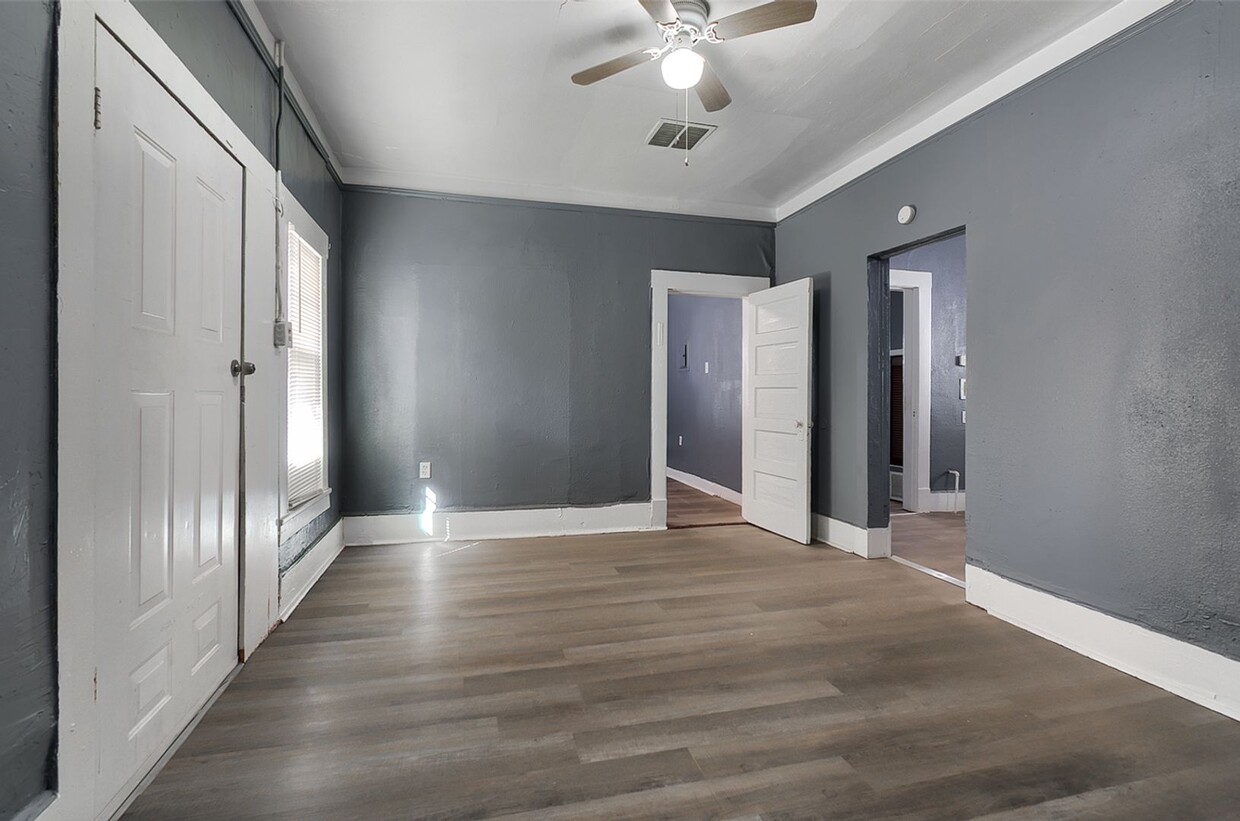
$795 / Mes
3511 Pershing Dr Unidad 3511 Pershing #2
El Paso, TX 79903
Hoy
Favoritos
915-592-5862
-
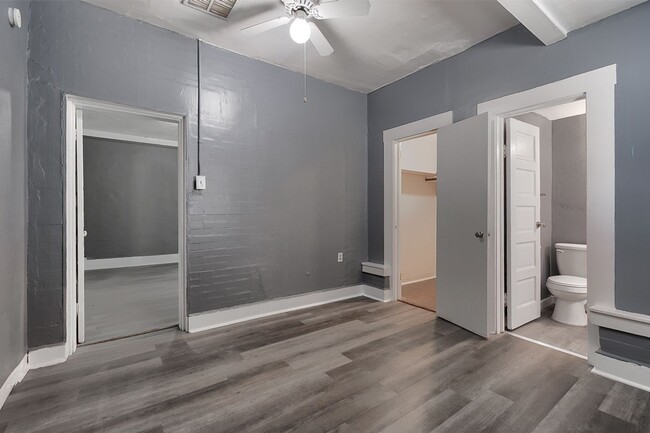
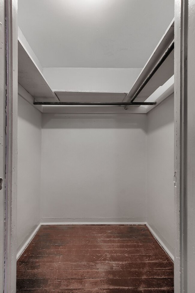
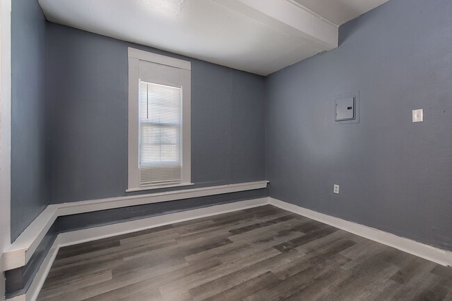
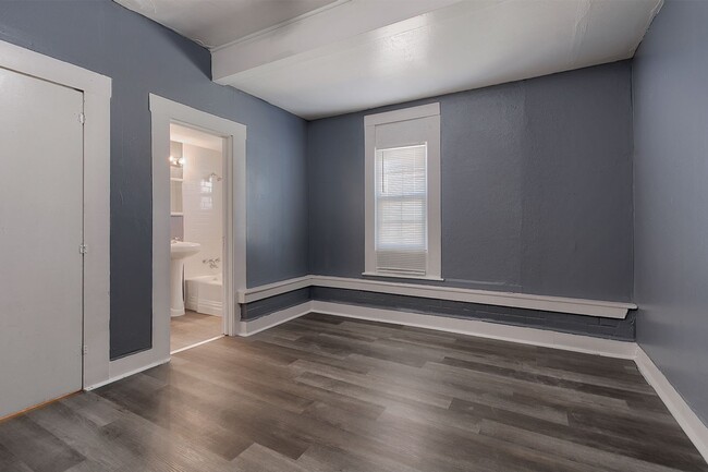
Habitaciones
2
-
Baños
2
-
Pies cuadrados
850 pies²
-
Disponible
Disp. ahora
3511 Pershing Dr Unidad 3511 Pershing #2

Favoritos
Contactar
- Listado Por Sandra Luna and Associates | Sandra Luna and Associates
- Número de Teléfono
- Contactar
Ubicación
Obtén las direcciones
The triangle-shaped Pershing-Government Hill neighborhood sits about three miles northeast of downtown El Paso, not far from the U.S.-Mexico border. The neighborhood was originally planned as a residential subdivision of the city in 1906 when city planners sought to make use of the large area of vacant land between downtown and the U.S. Army post Fort Bliss.
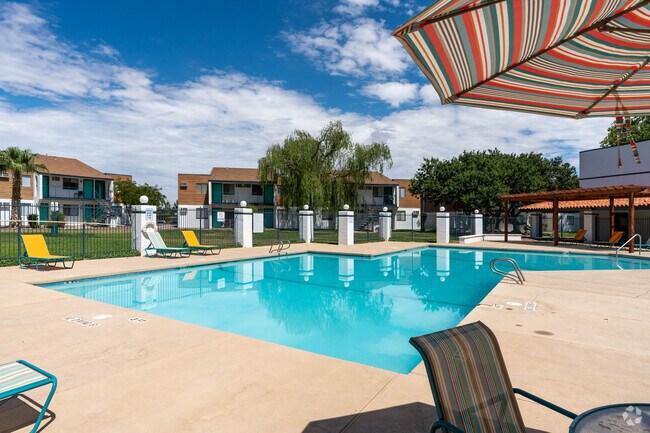
Route 54 lies just to the east of the neighborhood, connecting to Interstate 10 to the south which allows for quick commutes to downtown and various destinations throughout the city. Memorial Park lies in the northwest, providing residents with walking trails, softball fields, tennis courts, a swimming pool, and playground.
Residents looking for a break from Tex-Mex cuisine venture to the Italian Kitchen for generous portions of pasta. For a bit of nightlife, locals appreciate the cozy, popular Love Buzz and its wide selection of cocktails and craft beer.
Obtén más información sobre la vida en Pershing-Government Hill
Educación
| Institutos y Universidades | Distancia de | ||
|---|---|---|---|
| Institutos y Universidades | Dist. | ||
| En coche: | 6 minutos | 3.5 mi | |
| En coche: | 8 minutos | 4.2 mi | |
| En coche: | 11 minutos | 5.9 mi | |
| En coche: | 12 minutos | 7.4 mi |
3511 Pershing Dr Unidad 3511 Pershing #2 está a 6 minutos o 3.5 millas de El Paso C.C., Rio Grande. También está cerca de UT El Paso et El Paso C.C., Valle Verde.
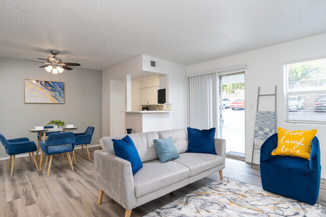
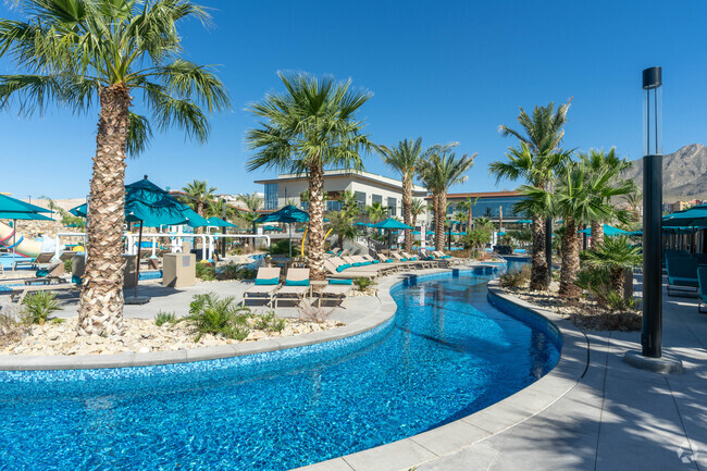
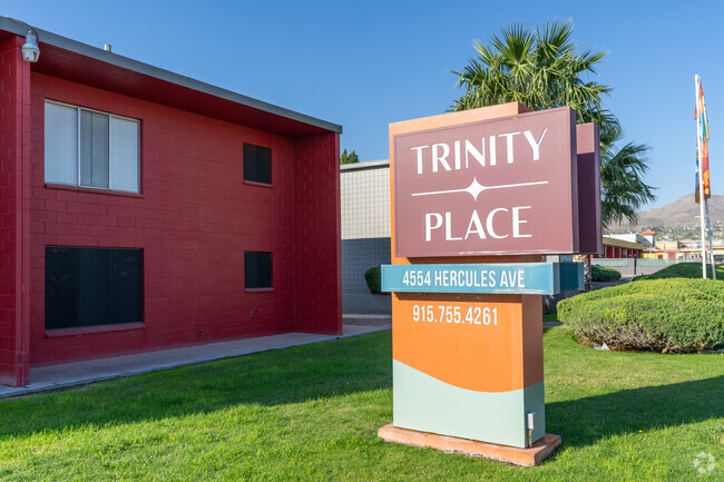
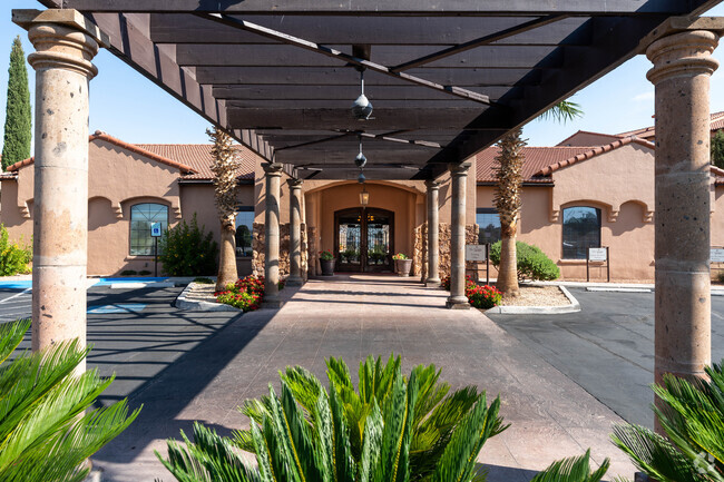
También te puede gustar
Alquileres Similares Cercanos


¿Qué son las clasificaciones Walk Score®, Transit Score® y Bike Score®?
Walk Score® mide la viabilidad peatonal de cualquier dirección. Transit Score® mide el acceso a transporte público. Bike Score® mide la infraestructura de rutas para bicicletas de cualquier dirección.
¿Qué es una clasificación de puntaje de ruido?
La clasificación de puntaje de ruido es el conjunto del ruido provocado por el transito de vehículos o de aviones y de fuentes locales.
3511 Pershing Dr
El Paso, TX 79903