El Ced

327 Preusser St, San Angelo, TX 76903

Share Listing
Favorites
El Ced
Share Listing
Favorites

El Ced is an apartment community located in Tom Green County and the 76903 ZIP Code. This area is served by the San Angelo Independent School District attendance zone.

Community Amenities

  • Controlled Access
  • 24 Hour Access
  • Walk-Up

Apartment Features

Air Conditioning

Tub/Shower

Heating

Oven

  • Air Conditioning
  • Heating
  • Tub/Shower
  • Kitchen
  • Oven
  • Range
Location
327 Preusser St, San Angelo,
TX 76903
Get Directions
City - San Angelo

San Angelo, Texas combines small-town hospitality with cultural attractions along the Concho River. Home to nearly 100,000 residents, the city centers around Angelo State University and Fort Concho National Historic Landmark. The downtown district houses the San Angelo Museum of Fine Arts and San Angelo Performing Arts Center, while the river walk offers paths for walking, running, and cycling. Current rental rates remain competitive, with one-bedroom apartments averaging $942 monthly, representing a 2.5% annual increase, while two-bedroom units typically cost around $1,109.

The city features several outdoor attractions, including San Angelo State Park, which maintains part of the official Texas Longhorn herd, and the International Water Lily Collection at Civic League Park. Established neighborhoods include Santa Rita, with its historic architecture, and the Lake Nasworthy area near the reservoir.

Learn more about living in San Angelo 
Education
Colleges & Universities Distance
Drive: 7 min 3.6 mi
El Ced is within 7 minutes or 3.6 miles from Angelo State University.
Schools
Public Elementary School
Grades PK-5
Nearby
Public Elementary School
Grades PK-5
Attendance Zone
Public Middle School
Grades 6-8
Attendance Zone
Public High School
Grades 9-12
Attendance Zone
Private Elementary & Middle School
Grades PK-8
Nearby
Private Middle & High School
Grades 7-12
Nearby
Transportation

El Ced is near San Angelo Regional/Mathis Field, located 10.2 miles or 19 minutes away.

Airports Distance
Airports Distance
San Angelo Regional/Mathis Field
Drive: 19 min 10.2 mi

Walkability Near El Ced

Getting Around
Moderately Walkable
Walkability
60 / 100
Moderately Drivable
Drivability
70 / 100
Moderately Bikeable
Bikeability
60 / 100

Scores provided by

What do Walkability, Transit, Drivability, and Bikeability mean? Walkability measures the walking distance to day-to-day needs. Transit measures access to public transportation. Drivability measures congestion, parking availability, and access to major roads. Bikeability measures the suitability for cycling. How It Works
-
Soundscore
- / 100

Traffic

-

Airport

-

Businesses

-

Scores provided by

HowLoud What is a Sound Score Rating? A Sound Score Rating aggregates noise caused by vehicle traffic, airplane traffic and local sources.
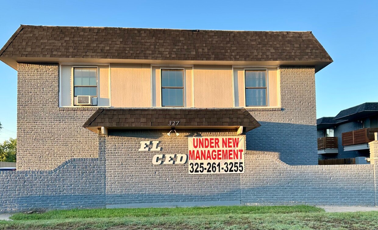
 How It Works
Points of Interest

Time and distance from El Ced.

Shopping Centers Distance
Walk: 5 min 0.3 mi
Drive: 4 min 1.9 mi
Drive: 4 min 2.4 mi
El Ced has 3 shopping centers within 2.4 miles, which is about a 4-minute drive. The miles and minutes will be for the farthest away property.
Parks and Recreation Distance
San Angelo State Park
Drive: 15 min 8.0 mi
Angelo State Planetarium
Drive: 15 min 8.0 mi
San Angelo Nature Center
Drive: 14 min 8.1 mi
El Ced has 3 parks within 8.1 miles, including San Angelo State Park, Angelo State Planetarium, and San Angelo Nature Center.
Hospitals Distance
Hospitals Distance
Walk: 6 min 0.3 mi
Drive: 8 min 4.6 mi
Drive: 9 min 5.9 mi
El Ced has 3 hospitals within 5.9 miles, the nearest is Shannon Medical Center which is 0.3 mile away and a 6 minute walk.
Military Bases Distance
Drive: 8 min 3.7 mi
Drive: 103 min 85.1 mi
El Ced is 3.7 miles from Goodfellow Air Force Base, and is convenient to other military bases, including Dyess Air Force Station.