
Parkway Lofts
5 Lawrence St,
Bloomfield, NJ 07003
$2,025 - $3,855
Studio - 2 Beds

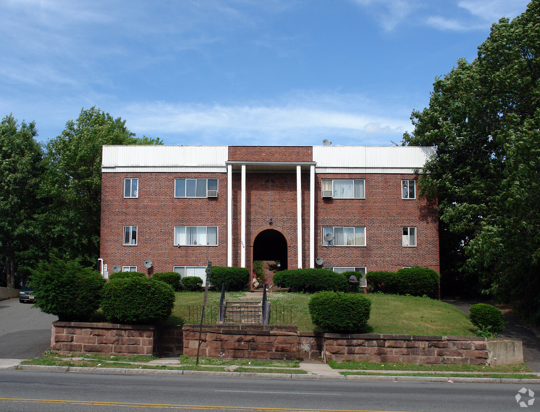
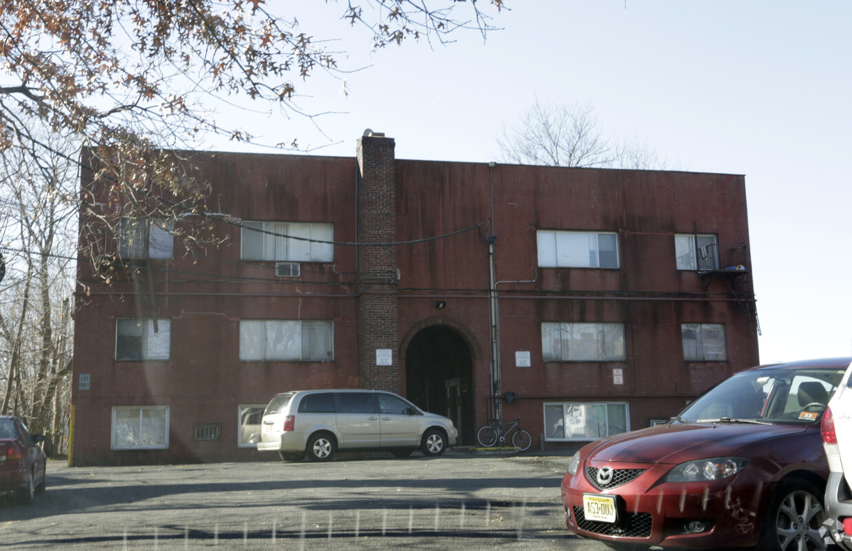

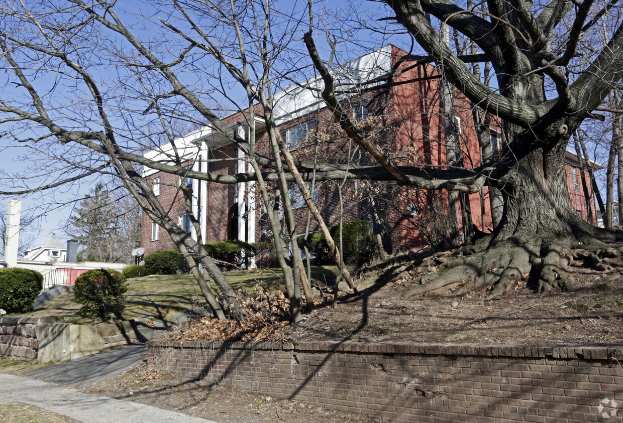
At Doral Gardens in Bloomfield, NJ, find a great place to live. In Bloomfield's 07003 area, moving to this community offers a variety of nearby points of interest. Be sure to come for a visit to see the available floorplan options. The leasing staff is waiting to show you all that this community has to offer. Your new home awaits you at Doral Gardens. Contact or drop by to talk about leasing your new apartment.
Doral Gardens is an apartment community located in Essex County and the 07003 ZIP Code. This area is served by the Bloomfield Board Of Education School District attendance zone.
Located 12 miles from Manhattan, Bloomfield combines small-town atmosphere with metropolitan accessibility. This Essex County township features established neighborhoods with housing options from classic single-family homes to contemporary apartment communities. The historic Bloomfield Green, anchored by the Presbyterian Church dating to 1794, serves as the town center. With two NJ Transit stations connecting to New York City and Newark, Bloomfield offers convenient transportation options for commuters. Current rental data shows one-bedroom apartments averaging $2,012, while three-bedroom units average $2,828.
Brookdale Park, spanning 77 acres, provides recreational opportunities with walking paths and athletic facilities. The downtown area near Bloomfield College features local shops and dining establishments. The Garden State Parkway and other major routes make commuting convenient from Bloomfield.
Learn more about living in Bloomfield| Colleges & Universities | Distance | ||
|---|---|---|---|
| Colleges & Universities | Distance | ||
| Walk: | 19 min | 1.0 mi | |
| Drive: | 6 min | 3.3 mi | |
| Drive: | 7 min | 3.5 mi | |
| Drive: | 7 min | 3.7 mi |


Transportation options available in Bloomfield include Grove Street, located 0.5 mile from Doral Gardens. Doral Gardens is near Newark Liberty International, located 9.1 miles or 15 minutes away, and LaGuardia, located 25.9 miles or 44 minutes away.
| Transit / Subway | Distance | ||
|---|---|---|---|
| Transit / Subway | Distance | ||
|
|
Walk: | 10 min | 0.5 mi |
|
|
Drive: | 3 min | 1.2 mi |
|
|
Drive: | 3 min | 1.2 mi |
|
|
Drive: | 3 min | 1.3 mi |
|
|
Drive: | 2 min | 1.5 mi |
| Commuter Rail | Distance | ||
|---|---|---|---|
| Commuter Rail | Distance | ||
|
|
Walk: | 9 min | 0.5 mi |
|
|
Walk: | 17 min | 0.9 mi |
|
|
Drive: | 2 min | 1.4 mi |
|
|
Drive: | 4 min | 2.0 mi |
|
|
Drive: | 4 min | 2.4 mi |
| Airports | Distance | ||
|---|---|---|---|
| Airports | Distance | ||
|
Newark Liberty International
|
Drive: | 15 min | 9.1 mi |
|
LaGuardia
|
Drive: | 44 min | 25.9 mi |
Scores provided by
Traffic
-Airport
-Businesses
-Scores provided by
HowLoud What is a Sound Score Rating? A Sound Score Rating aggregates noise caused by vehicle traffic, airplane traffic and local sources. How It WorksTime and distance from Doral Gardens.
| Shopping Centers | Distance | ||
|---|---|---|---|
| Shopping Centers | Distance | ||
| Walk: | 9 min | 0.5 mi | |
| Walk: | 11 min | 0.6 mi | |
| Walk: | 21 min | 1.1 mi |
| Parks and Recreation | Distance | ||
|---|---|---|---|
| Parks and Recreation | Distance | ||
|
Branch Brook Park
|
Drive: | 4 min | 2.2 mi |
|
Newark Museum and Dreyfuss Planetarium
|
Drive: | 6 min | 3.4 mi |
|
Van Vleck House & Gardens
|
Drive: | 6 min | 3.4 mi |
|
Edison National Historic Site
|
Drive: | 8 min | 4.1 mi |
|
Kearny Marsh
|
Drive: | 12 min | 5.8 mi |
| Hospitals | Distance | ||
|---|---|---|---|
| Hospitals | Distance | ||
| Drive: | 5 min | 2.8 mi | |
| Drive: | 6 min | 3.3 mi | |
| Drive: | 6 min | 3.7 mi |
| Military Bases | Distance | ||
|---|---|---|---|
| Military Bases | Distance | ||
| Drive: | 20 min | 12.9 mi | |
| Drive: | 30 min | 14.9 mi | |
| Drive: | 36 min | 21.0 mi |
What Are Walk Score®, Transit Score®, and Bike Score® Ratings?
Walk Score® measures the walkability of any address. Transit Score® measures access to public transit. Bike Score® measures the bikeability of any address.
What is a Sound Score Rating?
A Sound Score Rating aggregates noise caused by vehicle traffic, airplane traffic and local sources.
279 Bloomfield Ave
Bloomfield, NJ 07003


