
Presidential Towers
555 W Madison St,
Chicago, IL 60661
$1,824 - $5,657
Studio - 2 Beds
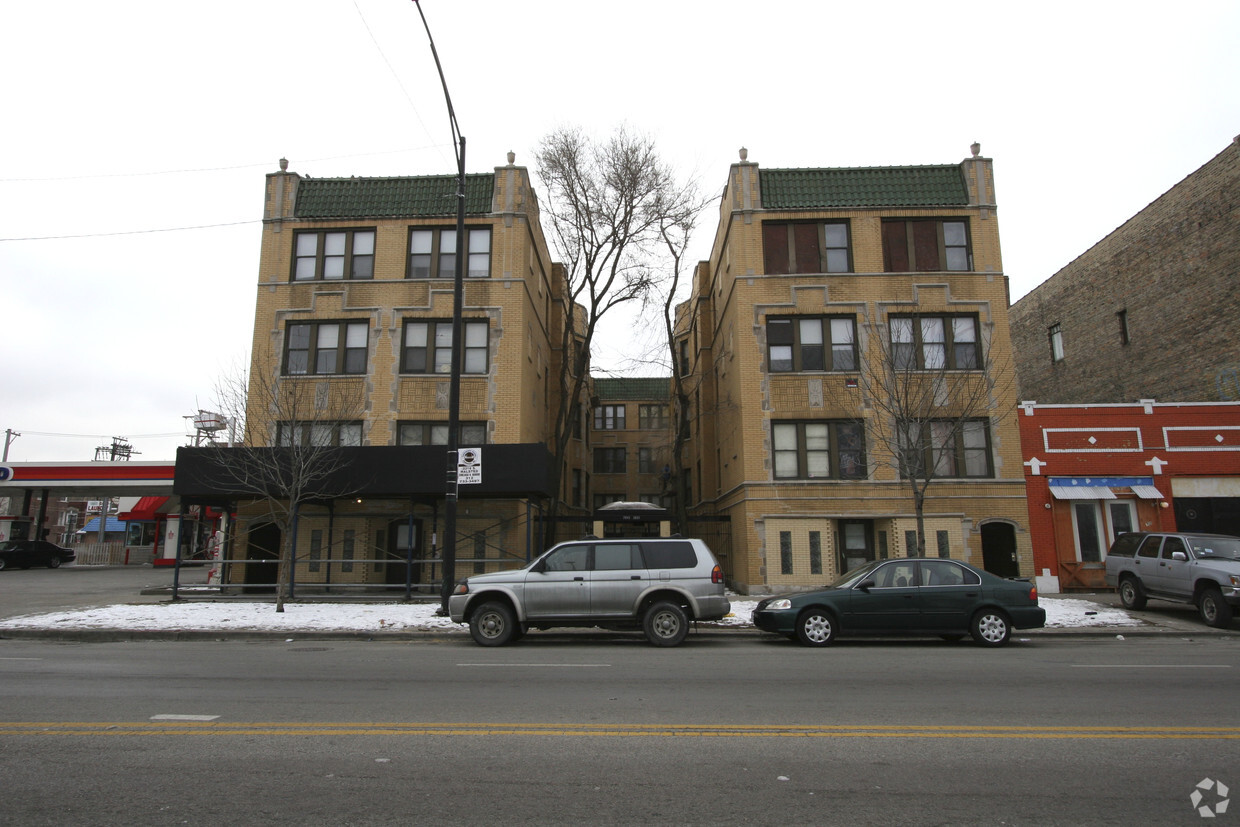
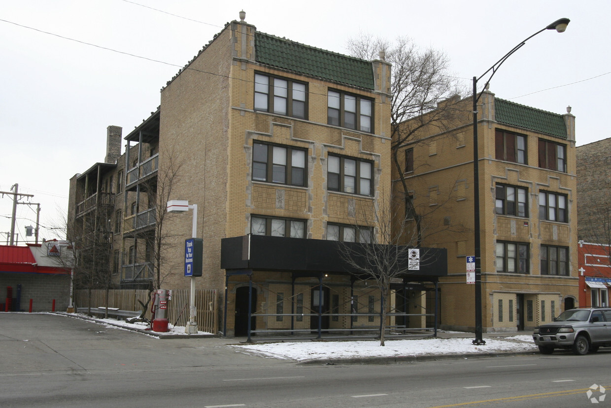
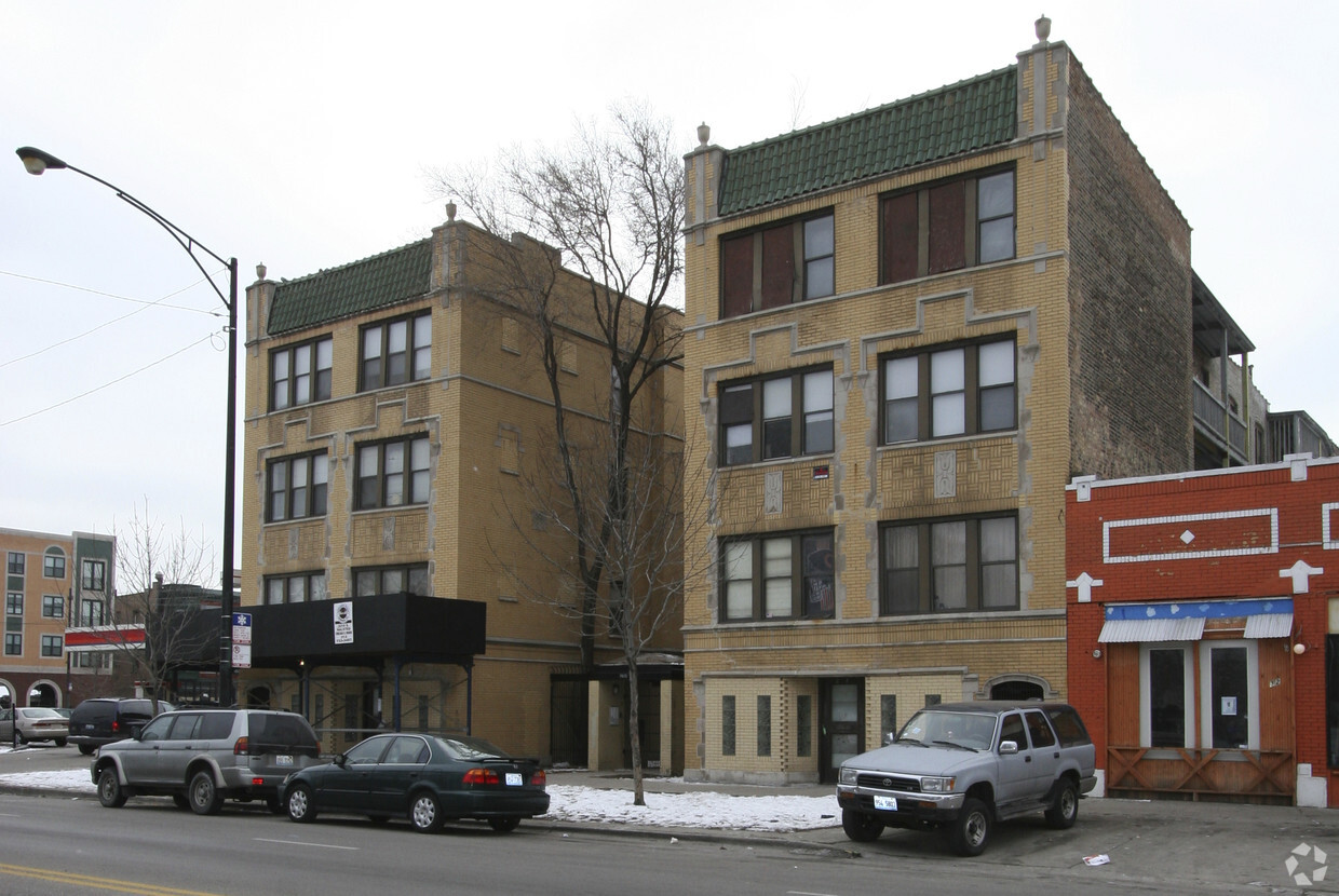

Division Street Rehab is ready for you to visit. The 60622 location has much to offer its residents. Be sure to see the available floorplan options. Here at this community, the leasing team is available to assist you in finding the perfect place to live. Contact us or drop by to find out the availability today and make your move to Division Street Rehab.
Division Street Rehab is an apartment community located in Cook County and the 60622 ZIP Code. This area is served by the Chicago Public Schools attendance zone.
The Humboldt Park neighborhood is seven miles out from Chicago’s Grant Park, The Chicago Theatre, and the Navy Pier. The park by which its name derived from has more than 200 acres within it, and includes the Field House, large grassy lawns, and nature trails surrounded by lush landscaping.
From eclectic coffee shops and home design stores to ethnic cuisines – Humboldt Park has it all! You’ll find cool, retro diners, rustic steakhouses, plus numerous cafes serving Puerto Rico-inspired fare! There’s also a burgeoning bar scene along North California Avenue.
Residents of Humboldt Park adore its many annual events and festivals which display its pride and heritage. Paseo Boricua, along Division Street, is recognized for its Puerto Rican influences – you know you’re there when you see its two large steel flags arched over the roadway. Residents enjoy direct access to Interstate 90 as well as the short transit ride to Randolph Street Market.
Learn more about living in Humboldt ParkCompare neighborhood and city base rent averages by bedroom.
| Humboldt Park | Chicago, IL | |
|---|---|---|
| Studio | $1,109 | $1,617 |
| 1 Bedroom | $923 | $2,007 |
| 2 Bedrooms | $1,145 | $2,517 |
| 3 Bedrooms | $1,918 | $3,035 |
| Colleges & Universities | Distance | ||
|---|---|---|---|
| Colleges & Universities | Distance | ||
| Drive: | 6 min | 2.7 mi | |
| Drive: | 5 min | 2.8 mi | |
| Drive: | 6 min | 3.3 mi | |
| Drive: | 7 min | 3.8 mi |


Transportation options available in Chicago include California Station (Blue Line - O'hare Branch), located 1.4 miles from Division Street Rehab. Division Street Rehab is near Chicago Midway International, located 10.0 miles or 18 minutes away, and Chicago O'Hare International, located 14.4 miles or 23 minutes away.
| Transit / Subway | Distance | ||
|---|---|---|---|
| Transit / Subway | Distance | ||
|
|
Drive: | 2 min | 1.4 mi |
|
|
Drive: | 3 min | 1.5 mi |
|
|
Drive: | 3 min | 1.6 mi |
|
|
Drive: | 3 min | 1.8 mi |
|
|
Drive: | 3 min | 1.8 mi |
| Commuter Rail | Distance | ||
|---|---|---|---|
| Commuter Rail | Distance | ||
|
|
Drive: | 2 min | 1.2 mi |
|
|
Drive: | 3 min | 1.5 mi |
|
|
Drive: | 4 min | 2.5 mi |
|
|
Drive: | 6 min | 2.9 mi |
|
|
Drive: | 6 min | 3.1 mi |
| Airports | Distance | ||
|---|---|---|---|
| Airports | Distance | ||
|
Chicago Midway International
|
Drive: | 18 min | 10.0 mi |
|
Chicago O'Hare International
|
Drive: | 23 min | 14.4 mi |
Time and distance from Division Street Rehab.
| Shopping Centers | Distance | ||
|---|---|---|---|
| Shopping Centers | Distance | ||
| Walk: | 17 min | 0.9 mi | |
| Walk: | 17 min | 0.9 mi | |
| Drive: | 3 min | 1.1 mi |
| Parks and Recreation | Distance | ||
|---|---|---|---|
| Parks and Recreation | Distance | ||
|
Humboldt Park
|
Walk: | 7 min | 0.4 mi |
|
Garfield Park and Golden Dome Field House
|
Drive: | 5 min | 2.6 mi |
|
Wrightwood Park
|
Drive: | 7 min | 3.4 mi |
|
Douglas Park and Community Center
|
Drive: | 7 min | 3.6 mi |
|
Oz Park
|
Drive: | 7 min | 3.7 mi |
| Hospitals | Distance | ||
|---|---|---|---|
| Hospitals | Distance | ||
| Walk: | 4 min | 0.2 mi | |
| Walk: | 14 min | 0.7 mi | |
| Drive: | 4 min | 2.1 mi |
| Military Bases | Distance | ||
|---|---|---|---|
| Military Bases | Distance | ||
| Drive: | 31 min | 22.1 mi |
What Are Walk Score®, Transit Score®, and Bike Score® Ratings?
Walk Score® measures the walkability of any address. Transit Score® measures access to public transit. Bike Score® measures the bikeability of any address.
What is a Sound Score Rating?
A Sound Score Rating aggregates noise caused by vehicle traffic, airplane traffic and local sources.

2815-2821 W Division St
Chicago, IL 60622


