
Cedros Gardens
330 S Cedros Ave,
Solana Beach, CA 92075
2 Beds $6,900
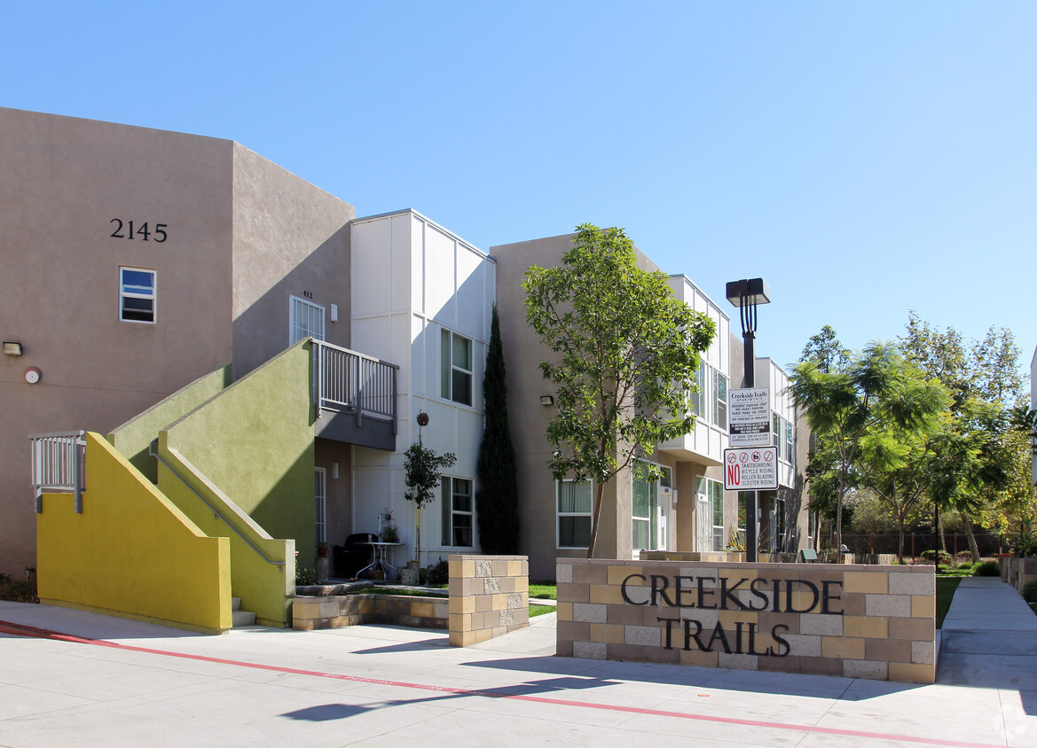
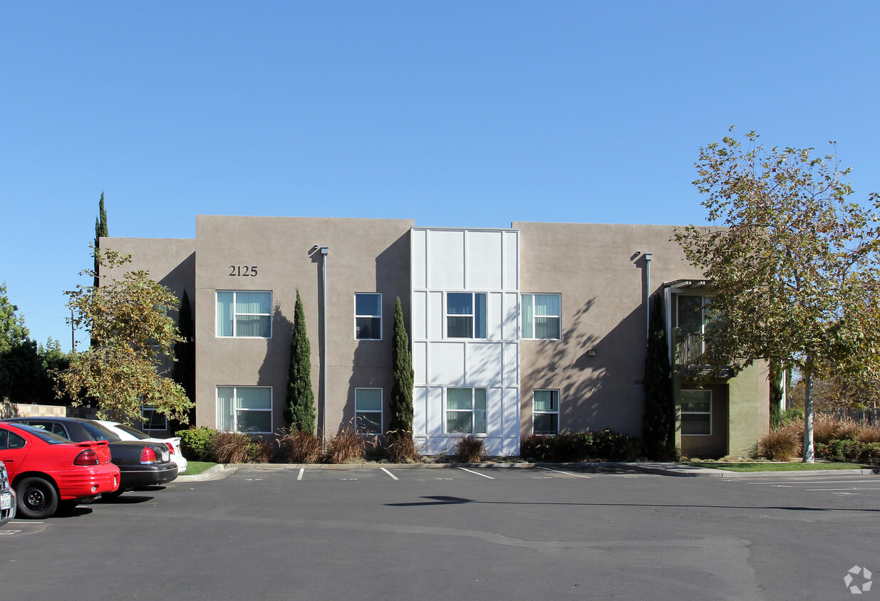
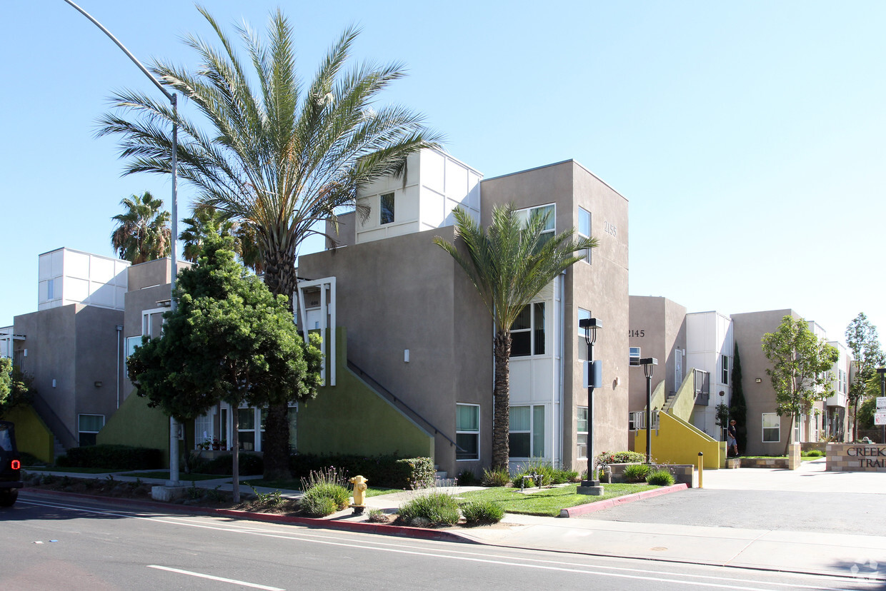
At Creekside Trails in San Diego, CA, you've discovered your new place. The 2129-2155 Coronado Ave location in San Diego's 92154 Zip code is an ideal place for residents. Make sure you to view the available floorplans. This community offers residents a wide variety of amenities and features like convenient on-site parking options, smoke free options, and high-speed internet access. Start living the good life at Creekside Trails. Contact or drop by the leasing office to talk about leasing your new apartment.
Creekside Trails is an apartment community located in San Diego County and the 92154 ZIP Code. This area is served by the Sweetwater Union High attendance zone.
Air Conditioning
Dishwasher
High Speed Internet Access
Tub/Shower
Nestor is located about 14 miles south of Downtown San Diego and 10 miles north of Tijuana, Mexico. Access to Interstate 5 and Highway 75 allows for easy access north towards the heart of the city or south towards the border. The neighborhood has several restaurants and shops but is best known for being home to the South Bay Drive-In Theatre and Swap Meet, which attracts visitors from across the city. Along with neighborhood parks, Nestor residents have access to several larger parks like Tijuana River National Estuarine Research Reserve and Otay Valley Regional Park, which has hiking, biking, and equestrian trails. Locals also flock to nearby beaches like Imperial Beach. Nestor has something for everyone with a variety of townhomes, condos, and apartments available for rent.
Learn more about living in Nestor| Colleges & Universities | Distance | ||
|---|---|---|---|
| Colleges & Universities | Distance | ||
| Drive: | 18 min | 10.6 mi | |
| Drive: | 14 min | 12.0 mi | |
| Drive: | 15 min | 12.4 mi | |
| Drive: | 15 min | 13.2 mi |


Transportation options available in San Diego include Palm Avenue, located 1.4 miles from Creekside Trails. Creekside Trails is near San Diego International, located 15.7 miles or 20 minutes away.
| Transit / Subway | Distance | ||
|---|---|---|---|
| Transit / Subway | Distance | ||
|
|
Drive: | 3 min | 1.4 mi |
|
|
Drive: | 3 min | 1.9 mi |
|
|
Drive: | 4 min | 2.9 mi |
|
|
Drive: | 5 min | 3.0 mi |
|
|
Drive: | 6 min | 4.5 mi |
| Commuter Rail | Distance | ||
|---|---|---|---|
| Commuter Rail | Distance | ||
|
|
Drive: | 17 min | 13.1 mi |
|
|
Drive: | 19 min | 16.3 mi |
|
|
Drive: | 33 min | 27.9 mi |
|
|
Drive: | 41 min | 35.0 mi |
|
|
Drive: | 45 min | 38.7 mi |
| Airports | Distance | ||
|---|---|---|---|
| Airports | Distance | ||
|
San Diego International
|
Drive: | 20 min | 15.7 mi |
Time and distance from Creekside Trails.
| Shopping Centers | Distance | ||
|---|---|---|---|
| Shopping Centers | Distance | ||
| Walk: | 7 min | 0.4 mi | |
| Walk: | 9 min | 0.5 mi | |
| Walk: | 9 min | 0.5 mi |
| Parks and Recreation | Distance | ||
|---|---|---|---|
| Parks and Recreation | Distance | ||
|
Otay Valley Regional Park
|
Drive: | 4 min | 2.0 mi |
|
Tijuana River National Estuarine Research Reserve
|
Drive: | 5 min | 2.4 mi |
|
Tijuana Slough National Wildlife Refuge
|
Drive: | 5 min | 2.4 mi |
|
Tijuana River Valley Regional Park
|
Drive: | 7 min | 3.0 mi |
|
Border Field State Park
|
Drive: | 13 min | 4.4 mi |
| Hospitals | Distance | ||
|---|---|---|---|
| Hospitals | Distance | ||
| Drive: | 11 min | 6.3 mi | |
| Drive: | 13 min | 10.2 mi | |
| Drive: | 15 min | 12.8 mi |
| Military Bases | Distance | ||
|---|---|---|---|
| Military Bases | Distance | ||
| Drive: | 10 min | 7.7 mi | |
| Drive: | 15 min | 10.4 mi |
What Are Walk Score®, Transit Score®, and Bike Score® Ratings?
Walk Score® measures the walkability of any address. Transit Score® measures access to public transit. Bike Score® measures the bikeability of any address.
What is a Sound Score Rating?
A Sound Score Rating aggregates noise caused by vehicle traffic, airplane traffic and local sources

2129-2155 Coronado Ave
San Diego, CA 92154


