
The Weidler
1784 NW Northrup St,
Portland, OR 97209
Studio - 2 Beds $1,299 - $3,049
PLEASE VISIT starkfirsmanagement.com/current-availability/ FOR MORE INFO
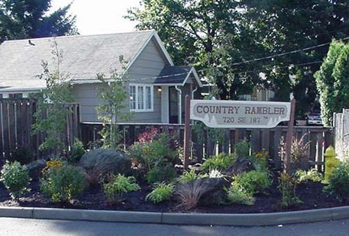
Country Rambler is an apartment community located in Multnomah County and the 97233 ZIP Code. This area is served by the Reynolds School District 7 attendance zone.
Washer/Dryer Hookup
Granite Countertops
Office
Carpet
The Oregon neighborhood of Rockwood is a dynamic and diverse area that bridges Portland with the city of Gresham; Rockwood lies east of downtown Portland and comprises the westernmost neighborhood of the city of Gresham. At the heart of the neighborhood runs East Burnside Street, weaving through the center of Rockwood and following the MAX light rail tracks as they span east to west.
The affordable neighborhood appeals to families on a budget and people looking for access to both Portland and Gresham. Rockwood contains several parks and green spaces for recreation and exercise.
Learn more about living in Rockwood| Colleges & Universities | Distance | ||
|---|---|---|---|
| Colleges & Universities | Distance | ||
| Drive: | 5 min | 2.1 mi | |
| Drive: | 12 min | 4.3 mi | |
| Drive: | 17 min | 6.3 mi | |
| Drive: | 14 min | 7.9 mi |


Transportation options available in Portland include Rockwood/E 188Th Transit Center, located 0.2 mile from Country Rambler. Country Rambler is near Portland International, located 10.9 miles or 19 minutes away.
| Transit / Subway | Distance | ||
|---|---|---|---|
| Transit / Subway | Distance | ||
|
|
Walk: | 4 min | 0.2 mi |
|
|
Walk: | 11 min | 0.6 mi |
|
|
Walk: | 13 min | 0.7 mi |
|
|
Walk: | 19 min | 1.0 mi |
|
|
Drive: | 4 min | 1.5 mi |
| Commuter Rail | Distance | ||
|---|---|---|---|
| Commuter Rail | Distance | ||
|
|
Drive: | 23 min | 14.2 mi |
|
|
Drive: | 29 min | 16.4 mi |
|
|
Drive: | 30 min | 18.4 mi |
|
|
Drive: | 37 min | 22.9 mi |
|
|
Drive: | 37 min | 24.3 mi |
| Airports | Distance | ||
|---|---|---|---|
| Airports | Distance | ||
|
Portland International
|
Drive: | 19 min | 10.9 mi |
Time and distance from Country Rambler.
| Shopping Centers | Distance | ||
|---|---|---|---|
| Shopping Centers | Distance | ||
| Walk: | 5 min | 0.3 mi | |
| Walk: | 17 min | 0.9 mi | |
| Walk: | 20 min | 1.0 mi |
| Parks and Recreation | Distance | ||
|---|---|---|---|
| Parks and Recreation | Distance | ||
|
Nadaka Nature Park
|
Drive: | 4 min | 1.4 mi |
|
Springwater Corridor
|
Drive: | 8 min | 3.2 mi |
|
Powell Butte Nature Park
|
Drive: | 10 min | 3.6 mi |
|
John Luby Park
|
Drive: | 12 min | 4.7 mi |
|
Blue Lake Regional Park
|
Drive: | 11 min | 5.0 mi |
| Hospitals | Distance | ||
|---|---|---|---|
| Hospitals | Distance | ||
| Drive: | 7 min | 3.2 mi | |
| Drive: | 14 min | 5.0 mi | |
| Drive: | 19 min | 11.1 mi |
| Military Bases | Distance | ||
|---|---|---|---|
| Military Bases | Distance | ||
| Drive: | 19 min | 10.2 mi | |
| Drive: | 43 min | 24.9 mi |
What Are Walk Score®, Transit Score®, and Bike Score® Ratings?
Walk Score® measures the walkability of any address. Transit Score® measures access to public transit. Bike Score® measures the bikeability of any address.
What is a Sound Score Rating?
A Sound Score Rating aggregates noise caused by vehicle traffic, airplane traffic and local sources


