Beacon
3510 Beacon Ave,
Fremont, CA 94538
$2,525 - $3,600
Studio - 2 Beds

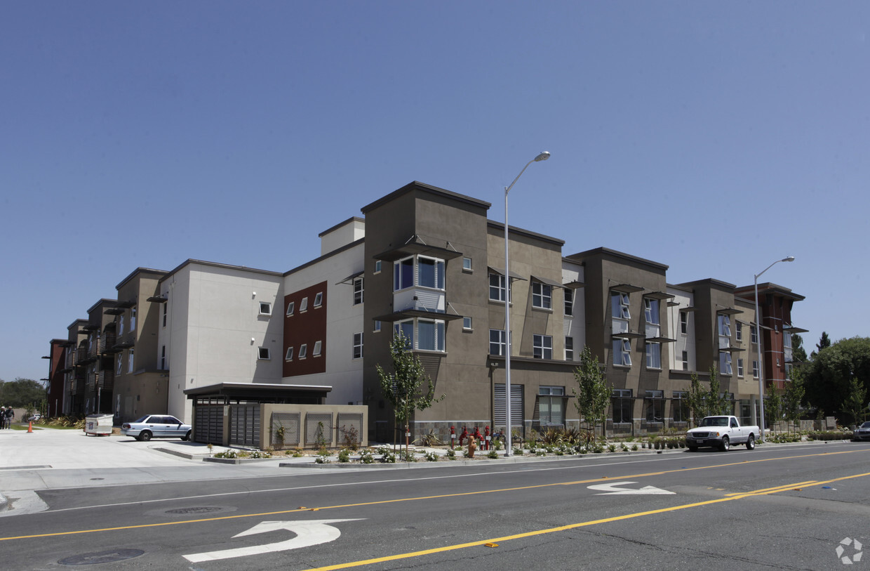
Meet a new place to live at Cottonwood Place in Fremont, CA. The 3701 Peralta Blvd location in Fremont's 94536 area has so much to offer its residents. Make a visit to check out the current floorplan options. The leasing team is ready and waiting for you to visit. Come see Cottonwood Place today.
Cottonwood Place is an apartment community located in Alameda County and the 94536 ZIP Code. This area is served by the Fremont Unified attendance zone.
As its name implies, Centerville is a neighborhood located in central Fremont. Filled with tree-lined streets, Centerville has mid-range to upscale rentals available, including cozy single-family homes and luxury apartments. Centerville is family-friendly with several great schools and daycare centers located in the community. Renters from all walks of life enjoy Centerville’s amazing location. Along with bordering Downtown Fremont, Centerville is convenient to some of Fremont’s most popular parks and trailheads including Quarry Lakes Regional Recreation Area, a 471-acre local favorite for picnics, fishing, swimming, and boating.
Silicon Valley commuters enjoy having a train station in town, while Highway 84 and Interstate 880 are used by those who prefer to drive. Fremont Boulevard has a variety of restaurants, shops, event venues, and other businesses, providing residents with plenty of amenities not far from home.
Learn more about living in Centerville| Colleges & Universities | Distance | ||
|---|---|---|---|
| Colleges & Universities | Distance | ||
| Drive: | 8 min | 4.6 mi | |
| Drive: | 14 min | 6.3 mi | |
| Drive: | 16 min | 11.3 mi | |
| Drive: | 18 min | 12.1 mi |


Transportation options available in Fremont include Fremont Station, located 1.9 miles from Cottonwood Place. Cottonwood Place is near Norman Y Mineta San Jose International, located 19.5 miles or 25 minutes away, and Metro Oakland International, located 20.0 miles or 26 minutes away.
| Transit / Subway | Distance | ||
|---|---|---|---|
| Transit / Subway | Distance | ||
|
|
Drive: | 4 min | 1.9 mi |
|
|
Drive: | 5 min | 2.0 mi |
|
|
Drive: | 8 min | 3.8 mi |
|
|
Drive: | 13 min | 6.1 mi |
|
|
Drive: | 15 min | 10.0 mi |
| Commuter Rail | Distance | ||
|---|---|---|---|
| Commuter Rail | Distance | ||
| Walk: | 8 min | 0.4 mi | |
| Walk: | 8 min | 0.5 mi | |
| Drive: | 16 min | 11.8 mi | |
|
|
Drive: | 16 min | 11.8 mi |
| Drive: | 25 min | 16.6 mi |
| Airports | Distance | ||
|---|---|---|---|
| Airports | Distance | ||
|
Norman Y Mineta San Jose International
|
Drive: | 25 min | 19.5 mi |
|
Metro Oakland International
|
Drive: | 26 min | 20.0 mi |
Time and distance from Cottonwood Place.
| Shopping Centers | Distance | ||
|---|---|---|---|
| Shopping Centers | Distance | ||
| Walk: | 2 min | 0.1 mi | |
| Walk: | 13 min | 0.7 mi | |
| Walk: | 14 min | 0.7 mi |
| Parks and Recreation | Distance | ||
|---|---|---|---|
| Parks and Recreation | Distance | ||
|
Quarry Lakes Regional Recreation Area
|
Drive: | 4 min | 1.7 mi |
|
Alameda Creek Regional Trail
|
Drive: | 4 min | 1.9 mi |
|
Central Park (Lake Elizabeth)
|
Drive: | 7 min | 2.8 mi |
|
Niles Canyon Railway
|
Drive: | 7 min | 3.4 mi |
|
Niles Community Park
|
Drive: | 9 min | 3.9 mi |
| Hospitals | Distance | ||
|---|---|---|---|
| Hospitals | Distance | ||
| Drive: | 4 min | 1.8 mi | |
| Drive: | 4 min | 1.9 mi | |
| Drive: | 13 min | 9.0 mi |
| Military Bases | Distance | ||
|---|---|---|---|
| Military Bases | Distance | ||
| Drive: | 31 min | 22.2 mi |
What Are Walk Score®, Transit Score®, and Bike Score® Ratings?
Walk Score® measures the walkability of any address. Transit Score® measures access to public transit. Bike Score® measures the bikeability of any address.
What is a Sound Score Rating?
A Sound Score Rating aggregates noise caused by vehicle traffic, airplane traffic and local sources

3701 Peralta Blvd
Fremont, CA 94536


