
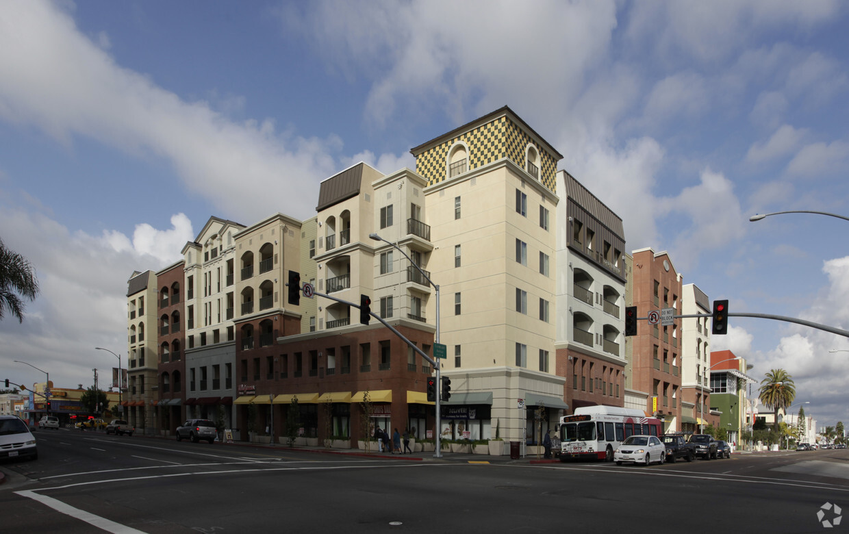
Pinnacle Broadway
1150 E St,
San Diego, CA 92101
$2,283 - $4,929
1-3 Beds
Located in beautiful San Diego, CA and conveniently built above retail, City Heights Square offers the comfort and convenience that you have been searching for. Our community is just minutes away from schools, world-class shopping, authentic and diverse restaurants, and endless arts & entertainment options. Individual apartments may vary. Some features may not be available for all floor plans. Some 3-bedroom floor plans are affordable apartments. Contact leasing staff for additional details.
City Heights Square is an apartment community located in San Diego County and the 92105 ZIP Code. This area is served by the San Diego Unified attendance zone.
Elevator
Playground
Clubhouse
Roof Terrace
Washer/Dryer
Air Conditioning
Dishwasher
High Speed Internet Access
Walk-In Closets
Granite Countertops
Microwave
Refrigerator
Teralta West is a neighborhood of San Diego which sits just east of I-15 and is bordered to the north by El Cajon Boulevard and the south by University Avenue. The area's main park, Teralta Park, is located above the I-15 freeway. Teralta West is one of the neighborhoods within City Heights, an area which was once East San Diego.
Learn more about living in Teralta West| Colleges & Universities | Distance | ||
|---|---|---|---|
| Colleges & Universities | Distance | ||
| Drive: | 11 min | 4.3 mi | |
| Drive: | 10 min | 4.7 mi | |
| Drive: | 7 min | 5.1 mi | |
| Drive: | 10 min | 5.3 mi |


Transportation options available in San Diego include Grantville, located 2.6 miles from City Heights Square. City Heights Square is near San Diego International, located 8.7 miles or 13 minutes away.
| Transit / Subway | Distance | ||
|---|---|---|---|
| Transit / Subway | Distance | ||
|
|
Drive: | 4 min | 2.6 mi |
|
|
Drive: | 5 min | 2.9 mi |
|
|
Drive: | 6 min | 3.4 mi |
|
|
Drive: | 7 min | 4.3 mi |
|
|
Drive: | 8 min | 5.0 mi |
| Commuter Rail | Distance | ||
|---|---|---|---|
| Commuter Rail | Distance | ||
|
|
Drive: | 10 min | 6.3 mi |
|
|
Drive: | 13 min | 9.3 mi |
|
|
Drive: | 20 min | 14.7 mi |
|
|
Drive: | 28 min | 21.7 mi |
|
|
Drive: | 32 min | 25.4 mi |
| Airports | Distance | ||
|---|---|---|---|
| Airports | Distance | ||
|
San Diego International
|
Drive: | 13 min | 8.7 mi |
Time and distance from City Heights Square.
| Shopping Centers | Distance | ||
|---|---|---|---|
| Shopping Centers | Distance | ||
| Walk: | 1 min | 0.1 mi | |
| Walk: | 3 min | 0.2 mi | |
| Walk: | 10 min | 0.6 mi |
| Parks and Recreation | Distance | ||
|---|---|---|---|
| Parks and Recreation | Distance | ||
|
Chollas Lake Park
|
Drive: | 10 min | 3.2 mi |
|
San Diego Zoo
|
Drive: | 9 min | 3.5 mi |
|
San Diego Natural History Museum
|
Drive: | 9 min | 3.9 mi |
|
Balboa Park
|
Drive: | 9 min | 4.2 mi |
|
Fleet Science Center
|
Drive: | 12 min | 7.0 mi |
| Hospitals | Distance | ||
|---|---|---|---|
| Hospitals | Distance | ||
| Drive: | 8 min | 4.2 mi | |
| Drive: | 7 min | 5.0 mi | |
| Drive: | 8 min | 5.2 mi |
| Military Bases | Distance | ||
|---|---|---|---|
| Military Bases | Distance | ||
| Drive: | 9 min | 6.3 mi |
What Are Walk Score®, Transit Score®, and Bike Score® Ratings?
Walk Score® measures the walkability of any address. Transit Score® measures access to public transit. Bike Score® measures the bikeability of any address.
What is a Sound Score Rating?
A Sound Score Rating aggregates noise caused by vehicle traffic, airplane traffic and local sources

4029 43rd St
San Diego, CA 92105


