
Hillside Apartments
1896 Crest Dr,
Coatesville, PA 19320
$1,400 - $1,900
1-2 Beds
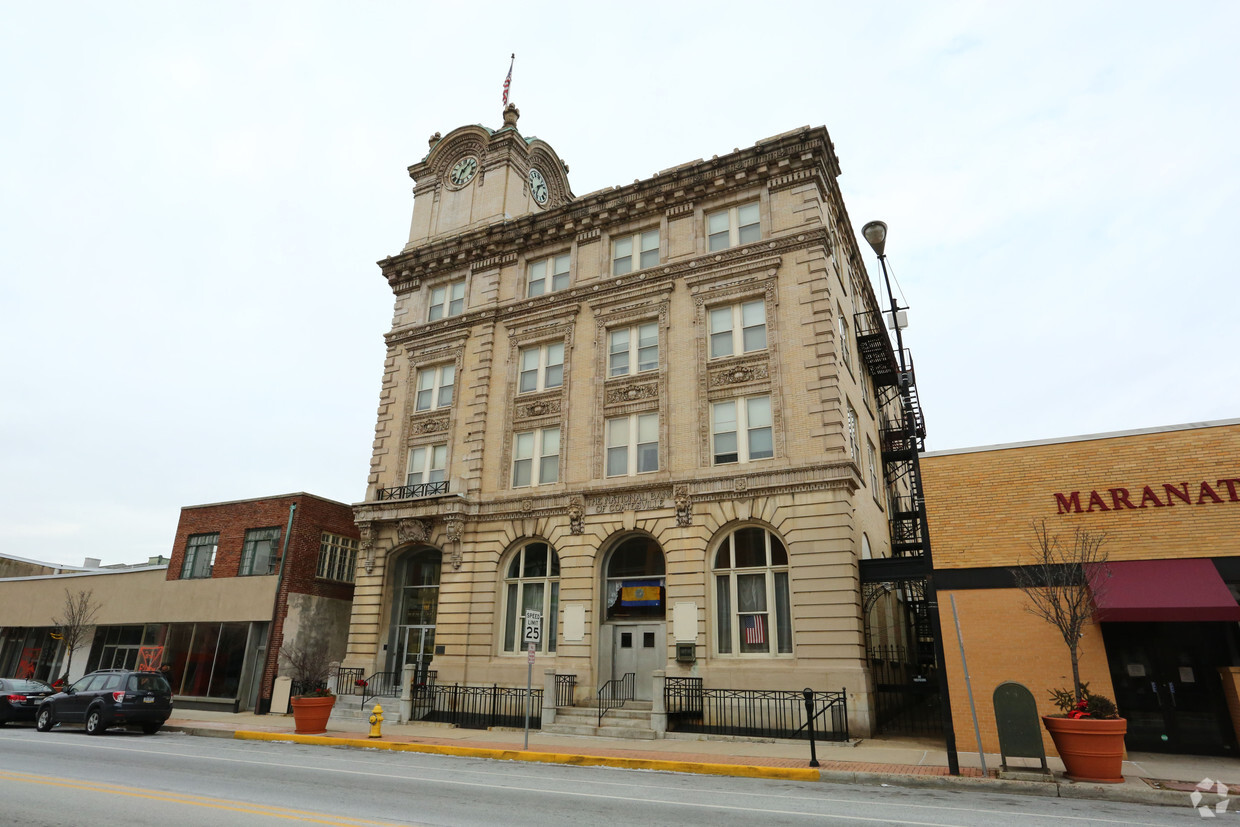
Thanks for your interest in City Clock in Coatesville, PA. Located in Coatesville's 19320 Zip code, moving to this community gives you a wide variety of nearby experiences to enjoy. The professional leasing staff is waiting to show you all that this community has in store. Be sure to view the available floorplans. Stop by to find out the current pricing.
City Clock is an apartment community located in Chester County and the 19320 ZIP Code. This area is served by the Coatesville Area School District attendance zone.
Air Conditioning
Refrigerator
Heating
Oven
Coatesville is the only city in Chester County, Pennsylvania, sitting about 39 miles west of Philadelphia along the historic Lincoln Highway corridor. Its identity is deeply rooted in steel-making history. The Lukens Steel Company helped shape the city in the early 20th century, and that industrial legacy still gives Coatesville a gritty, authentic character that sets it apart from the polished suburbs surrounding it.
Today, the city is in the midst of a steady revitalization, drawing interest from renters who want Chester County access without the premium price tag that comes with neighboring communities. The Brandywine River traces the area’s edge, and the National Iron and Steel Heritage Museum anchors a growing cultural presence downtown.
Housing here covers a solid range of options, from converted rowhouses and older brick apartment buildings to newer apartment communities that reflect ongoing investment in the city’s future.
Learn more about living in Coatesville| Colleges & Universities | Distance | ||
|---|---|---|---|
| Colleges & Universities | Distance | ||
| Drive: | 26 min | 14.6 mi | |
| Drive: | 26 min | 16.6 mi | |
| Drive: | 29 min | 17.2 mi | |
| Drive: | 39 min | 21.5 mi |


Scores provided by
Traffic
-Airport
-Businesses
-Scores provided by
HowLoud What is a Sound Score Rating? A Sound Score Rating aggregates noise caused by vehicle traffic, airplane traffic and local sources. How It WorksFitness Center Pool Dishwasher Refrigerator Kitchen In Unit Washer & Dryer
What Are Walk Score®, Transit Score®, and Bike Score® Ratings?
Walk Score® measures the walkability of any address. Transit Score® measures access to public transit. Bike Score® measures the bikeability of any address.
What is a Sound Score Rating?
A Sound Score Rating aggregates noise caused by vehicle traffic, airplane traffic and local sources.

235 E Lincoln Hwy
Coatesville, PA 19320


