
Parkway Lofts
5 Lawrence St,
Bloomfield, NJ 07003
$2,025 - $3,995
Studio - 2 Beds
Chestnut Park Apartments is less than five miles from shopping which offers grocery stores, pharmacies, clothing stores and much more, and is only five miles from all major bridges and tunnels. Chestnut Park's easy access to I-287, Garden State Parkway and the New Jersey Turnpike allows for quick access to the NJ Transit train stations taking you to NYC and NY. Also in a short drive you can take the NJ Turnpike to the Lincoln Tunnel, Holland Tunnel and The Garden State Parkway making for an effortless commute to work or entertainment in New York City, NY, and many of the garden spots that makes New Jersey famous.
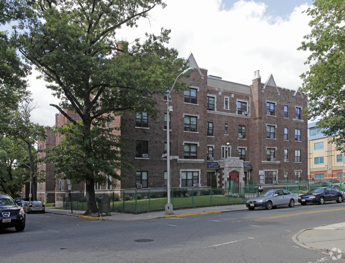
Chestnut Park is an apartment community located in Essex County and the 07017 ZIP Code. This area is served by the East Orange School District attendance zone.
Unique Features
East Orange, NJ, sits just 12 miles from Manhattan, combining historic charm with contemporary city living. Tree-lined streets showcase the area's architectural heritage, from pre-war apartment buildings to classic single-family homes.
The city features established neighborhoods like Greenwood, known for its architectural character, and the Central Avenue Commercial District. Elmwood Park provides recreational opportunities with its swimming pool, tennis courts, and walking track. The East Orange Campus High School stands on the historic grounds of the former Upsala College, while the Whitney E. Houston Academy of Creative & Performing Arts honors the legendary singer's local roots. Two NJ Transit train stations offer direct service to New York City, making the area particularly accessible for commuters.
Learn more about living in East Orange| Colleges & Universities | Distance | ||
|---|---|---|---|
| Colleges & Universities | Distance | ||
| Drive: | 5 min | 2.4 mi | |
| Drive: | 4 min | 2.6 mi | |
| Drive: | 4 min | 2.6 mi | |
| Drive: | 6 min | 2.6 mi |


Transportation options available in East Orange include Orange Street, located 1.7 miles from Chestnut Park. Chestnut Park is near Newark Liberty International, located 8.0 miles or 14 minutes away, and LaGuardia, located 29.0 miles or 44 minutes away.
| Transit / Subway | Distance | ||
|---|---|---|---|
| Transit / Subway | Distance | ||
|
|
Drive: | 3 min | 1.7 mi |
|
|
Drive: | 3 min | 1.9 mi |
|
|
Drive: | 4 min | 2.1 mi |
|
|
Drive: | 4 min | 2.3 mi |
|
|
Drive: | 5 min | 2.8 mi |
| Commuter Rail | Distance | ||
|---|---|---|---|
| Commuter Rail | Distance | ||
|
|
Walk: | 5 min | 0.3 mi |
|
|
Walk: | 15 min | 0.8 mi |
|
|
Drive: | 4 min | 1.8 mi |
|
|
Drive: | 4 min | 2.1 mi |
|
|
Drive: | 4 min | 2.2 mi |
| Airports | Distance | ||
|---|---|---|---|
| Airports | Distance | ||
|
Newark Liberty International
|
Drive: | 14 min | 8.0 mi |
|
LaGuardia
|
Drive: | 44 min | 29.0 mi |
Scores provided by
Traffic
BusyAirport
CalmBusinesses
BusyScores provided by
HowLoud What is a Sound Score Rating? A Sound Score Rating aggregates noise caused by vehicle traffic, airplane traffic and local sources. How It WorksTime and distance from Chestnut Park.
| Shopping Centers | Distance | ||
|---|---|---|---|
| Shopping Centers | Distance | ||
| Walk: | 6 min | 0.3 mi | |
| Walk: | 7 min | 0.4 mi | |
| Walk: | 7 min | 0.4 mi |
| Parks and Recreation | Distance | ||
|---|---|---|---|
| Parks and Recreation | Distance | ||
|
Newark Museum and Dreyfuss Planetarium
|
Drive: | 5 min | 2.7 mi |
|
Edison National Historic Site
|
Drive: | 6 min | 3.0 mi |
|
Branch Brook Park
|
Drive: | 6 min | 3.1 mi |
|
Turtle Back Zoo
|
Drive: | 11 min | 4.7 mi |
|
Kearny Marsh
|
Drive: | 11 min | 5.5 mi |
| Hospitals | Distance | ||
|---|---|---|---|
| Hospitals | Distance | ||
| Walk: | 6 min | 0.3 mi | |
| Drive: | 3 min | 2.0 mi | |
| Drive: | 4 min | 2.5 mi |
| Military Bases | Distance | ||
|---|---|---|---|
| Military Bases | Distance | ||
| Drive: | 19 min | 11.8 mi | |
| Drive: | 24 min | 13.8 mi | |
| Drive: | 30 min | 14.6 mi |

25 S Munn Ave
East Orange, NJ 07017


