
Villas Las Naranjas
1345 S Kolb Rd,
Tucson, AZ 85710
$749 - $1,399
Studio - 3 Beds
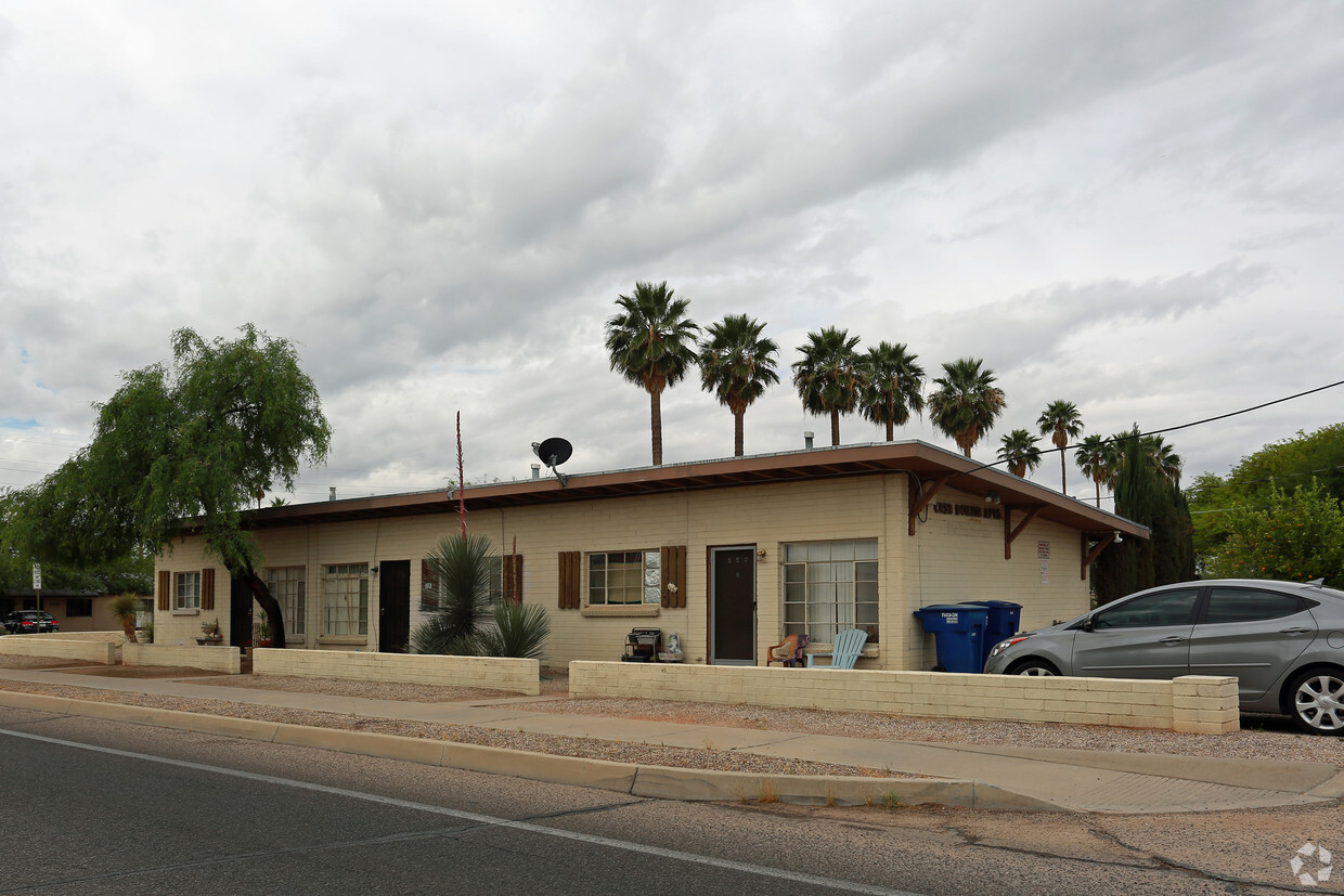
Casa Bonita III is an apartment community located in Pima County and the 85716 ZIP Code. This area is served by the Tucson Unified District attendance zone.
Set just three miles east of the downtown Tucson business district, Arroyo Chico provides a suburban feel in an urban setting with streets lined primarily by single-family homes. A handful of apartment complexes and condos rise above the rows of houses. Green spaces abound nearby, including the Randolph Municipal Golf Course, Rincon Vista Sports Complex, and Reid Park, which is home to the city's zoo. Workers and students at the University of Arizona have a short two-mile commute from Arroyo Chico.
Broadway Boulevard, on the north side of the neighborhood, is home to several restaurants and entertainment venues. Laffs Comedy Caffe provides local and national comic acts, along with drinks and local food. Try out your own routine at one of the venue's frequent open mic nights.
Learn more about living in Arroyo ChicoCompare neighborhood and city base rent averages by bedroom.
| Arroyo Chico | Tucson, AZ | |
|---|---|---|
| Studio | - | $790 |
| 1 Bedroom | $898 | $986 |
| 2 Bedrooms | $686 | $1,268 |
| 3 Bedrooms | $880 | $1,685 |
| Colleges & Universities | Distance | ||
|---|---|---|---|
| Colleges & Universities | Distance | ||
| Drive: | 7 min | 2.8 mi | |
| Drive: | 8 min | 4.0 mi | |
| Drive: | 8 min | 4.6 mi | |
| Drive: | 14 min | 7.2 mi |


Transportation options available in Tucson include Sl/2Nd St/Cherry Av, located 2.4 miles from Casa Bonita III. Casa Bonita III is near Tucson International, located 7.7 miles or 16 minutes away.
| Transit / Subway | Distance | ||
|---|---|---|---|
| Transit / Subway | Distance | ||
| Drive: | 6 min | 2.4 mi | |
| Drive: | 4 min | 2.4 mi | |
| Drive: | 7 min | 2.5 mi | |
| Drive: | 6 min | 2.5 mi | |
| Drive: | 6 min | 3.1 mi |
| Commuter Rail | Distance | ||
|---|---|---|---|
| Commuter Rail | Distance | ||
|
|
Drive: | 4 min | 2.6 mi |
| Airports | Distance | ||
|---|---|---|---|
| Airports | Distance | ||
|
Tucson International
|
Drive: | 16 min | 7.7 mi |
Time and distance from Casa Bonita III.
| Shopping Centers | Distance | ||
|---|---|---|---|
| Shopping Centers | Distance | ||
| Walk: | 13 min | 0.7 mi | |
| Walk: | 17 min | 0.9 mi | |
| Drive: | 2 min | 1.1 mi |
| Parks and Recreation | Distance | ||
|---|---|---|---|
| Parks and Recreation | Distance | ||
|
Gene C. Reid Park
|
Drive: | 3 min | 1.3 mi |
|
Reid Park Zoo
|
Drive: | 4 min | 1.6 mi |
|
Himmel Park
|
Drive: | 4 min | 1.8 mi |
|
Santa Rita Park
|
Drive: | 3 min | 2.1 mi |
|
Flandrau: University of Arizona Science Center
|
Drive: | 5 min | 2.2 mi |
| Hospitals | Distance | ||
|---|---|---|---|
| Hospitals | Distance | ||
| Drive: | 6 min | 2.7 mi | |
| Drive: | 7 min | 4.0 mi | |
| Drive: | 9 min | 4.6 mi |
| Military Bases | Distance | ||
|---|---|---|---|
| Military Bases | Distance | ||
| Drive: | 15 min | 7.0 mi | |
| Drive: | 16 min | 9.1 mi | |
| Drive: | 86 min | 72.2 mi |
Pets Allowed Fitness Center Clubhouse Grill Controlled Access Granite Countertops Playground
What Are Walk Score®, Transit Score®, and Bike Score® Ratings?
Walk Score® measures the walkability of any address. Transit Score® measures access to public transit. Bike Score® measures the bikeability of any address.
What is a Sound Score Rating?
A Sound Score Rating aggregates noise caused by vehicle traffic, airplane traffic and local sources.

880 S Tucson Blvd
Tucson, AZ 85716


