
Bay Terrace
3204 Casa De Campo Way,
San Mateo, CA 94403
$3,106 - $4,371
2-3 Beds
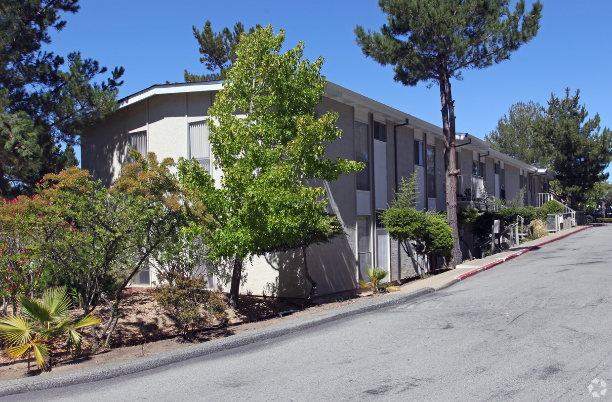
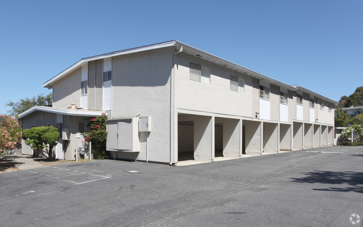
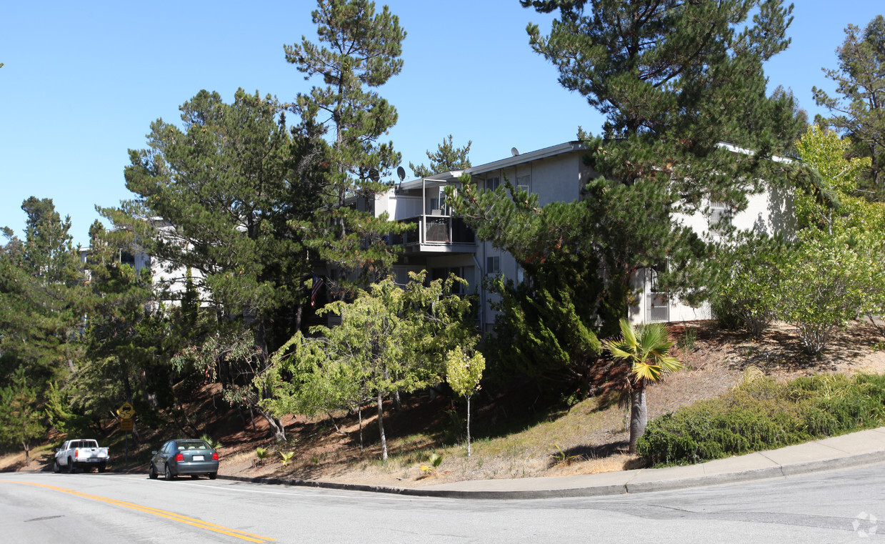

Discover your new apartment at Carlmont Heights. Located at 2213 Hastings Dr. in Belmont, this community is convenient to everything. Let the professional leasing staff show you everything this community has in store. Give us a call now to check the current floor plan availability.
Carlmont Heights is an apartment community located in San Mateo County and the 94002 ZIP Code. This area is served by the South San Francisco Unified School District attendance zone.
Dishwasher
High Speed Internet Access
Disposal
Fireplace
Situated midway between San Francisco and San Jose, Belmont is a tranquil community known for its wooded hills, vast stretches of open space, and expansive views of the San Francisco Bay. Belmont’s pervasive natural beauty and laidback atmosphere provide a calm reprieve from the bustle of city life.
Residents often flock to Twin Pines Park, Water Dog Lake Park, and nearby Laurelwood Park to enjoy scenic trails and various outdoor activities. Belmont’s close-knit community is frequently brought together for a wide variety of special city events and programs as well.
Belmont offers a host of diverse eateries and shops along its stretch of El Camino Real. Numerous metropolitan amenities are within close reach with quick access to the CalTrain and multiple major roadways.
Known for its wooded hills, views of the San Francisco Bay, and stretches of open space, Belmont is a quiet residential community in the midst of the culturally and technologically rich Bay Area.
Learn more about living in Belmont| Colleges & Universities | Distance | ||
|---|---|---|---|
| Colleges & Universities | Distance | ||
| Drive: | 10 min | 4.8 mi | |
| Drive: | 16 min | 7.7 mi | |
| Drive: | 18 min | 7.9 mi | |
| Drive: | 27 min | 11.4 mi |


Transportation options available in Belmont include Millbrae (Caltrain Transfer Platform), located 11.6 miles from Carlmont Heights. Carlmont Heights is near San Francisco International, located 12.7 miles or 20 minutes away, and Metro Oakland International, located 28.4 miles or 39 minutes away.
| Transit / Subway | Distance | ||
|---|---|---|---|
| Transit / Subway | Distance | ||
|
|
Drive: | 18 min | 11.6 mi |
|
|
Drive: | 19 min | 12.3 mi |
| Drive: | 20 min | 12.3 mi | |
| Drive: | 20 min | 12.5 mi | |
|
|
Drive: | 20 min | 12.7 mi |
| Commuter Rail | Distance | ||
|---|---|---|---|
| Commuter Rail | Distance | ||
| Drive: | 5 min | 1.8 mi | |
| Drive: | 6 min | 2.9 mi | |
| Drive: | 8 min | 3.3 mi | |
| Drive: | 10 min | 4.1 mi | |
| Drive: | 10 min | 4.2 mi |
| Airports | Distance | ||
|---|---|---|---|
| Airports | Distance | ||
|
San Francisco International
|
Drive: | 20 min | 12.7 mi |
|
Metro Oakland International
|
Drive: | 39 min | 28.4 mi |
Scores provided by
Traffic
ActiveAirport
CalmBusinesses
CalmScores provided by
HowLoud What is a Sound Score Rating? A Sound Score Rating aggregates noise caused by vehicle traffic, airplane traffic and local sources. How It WorksTime and distance from Carlmont Heights.
| Shopping Centers | Distance | ||
|---|---|---|---|
| Shopping Centers | Distance | ||
| Walk: | 18 min | 1.0 mi | |
| Drive: | 5 min | 1.7 mi | |
| Drive: | 4 min | 1.7 mi |
| Parks and Recreation | Distance | ||
|---|---|---|---|
| Parks and Recreation | Distance | ||
|
Edgewood Park & Natural Preserve
|
Drive: | 8 min | 3.4 mi |
|
Pulgas Ridge Open Space Preserve
|
Drive: | 11 min | 4.9 mi |
|
San Mateo Arboretum
|
Drive: | 11 min | 5.0 mi |
|
Japanese Tea Garden (San Mateo)
|
Drive: | 11 min | 5.5 mi |
|
Filoli Gardens
|
Drive: | 17 min | 5.9 mi |
| Hospitals | Distance | ||
|---|---|---|---|
| Hospitals | Distance | ||
| Drive: | 6 min | 2.2 mi | |
| Drive: | 9 min | 3.7 mi | |
| Drive: | 11 min | 5.7 mi |
| Military Bases | Distance | ||
|---|---|---|---|
| Military Bases | Distance | ||
| Drive: | 28 min | 17.9 mi |
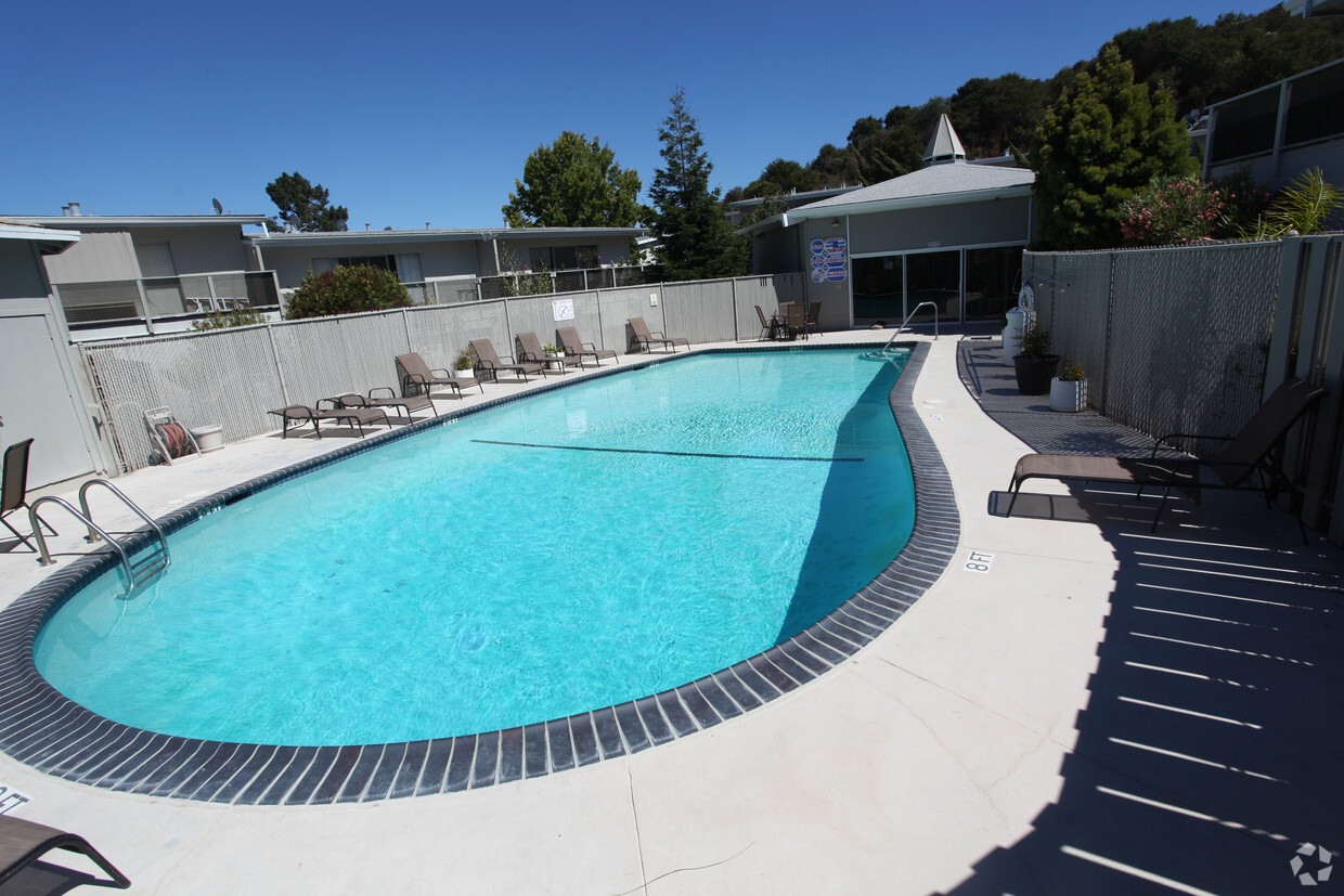
Pets Allowed Dishwasher Walk-In Closets Balcony Maintenance on site CableReady Elevator
What Are Walk Score®, Transit Score®, and Bike Score® Ratings?
Walk Score® measures the walkability of any address. Transit Score® measures access to public transit. Bike Score® measures the bikeability of any address.
What is a Sound Score Rating?
A Sound Score Rating aggregates noise caused by vehicle traffic, airplane traffic and local sources.

2213 Hastings Dr
Belmont, CA 94002


