
Martinez Hillside
90 F St,
Martinez, CA 94553
$1,719 - $2,037 Total Monthly Price
1-2 Beds

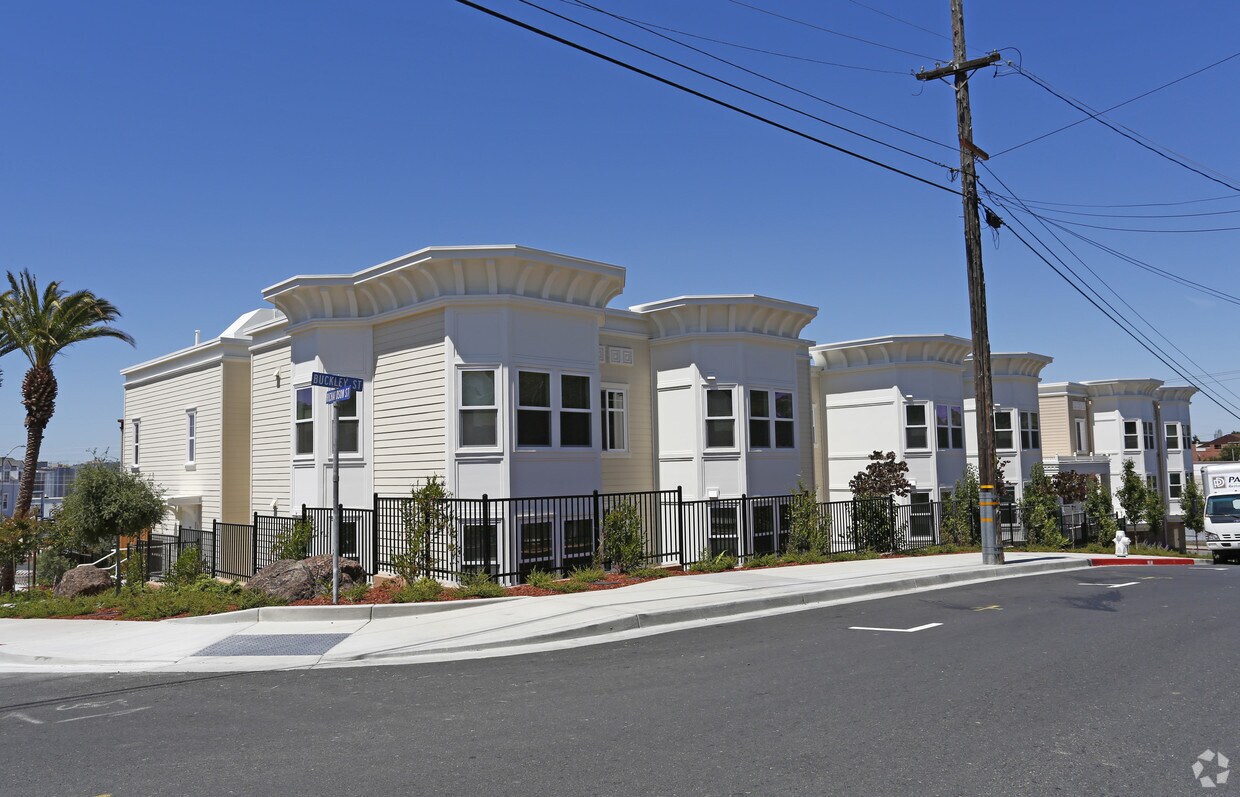
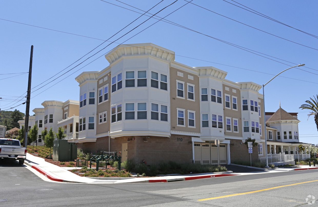
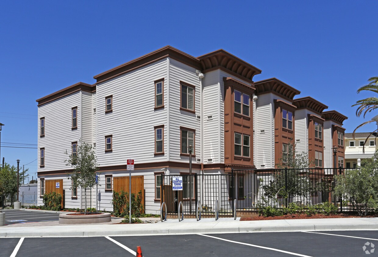
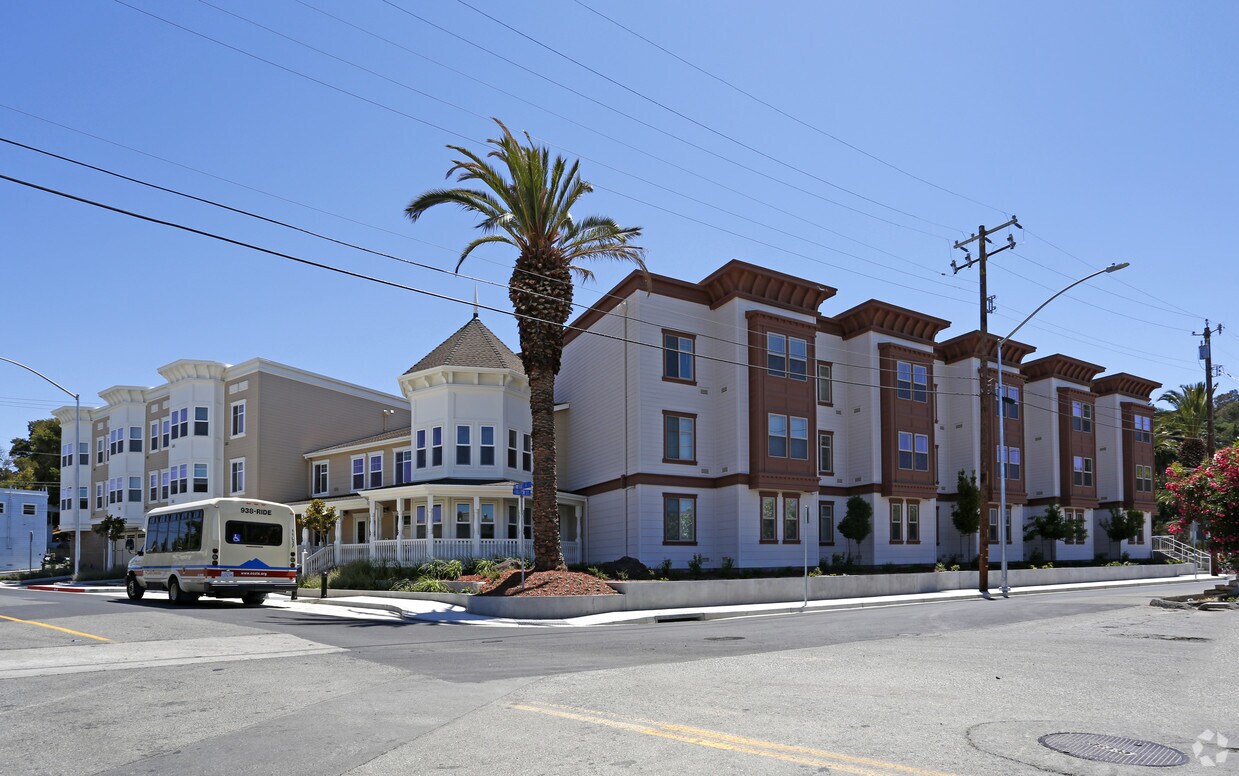
Find your new home at Berrellesa Palms. The address for this community is at 310 Berrellesa St. in the 94553 area of Martinez. The community staff is ready for you to visit. Be sure to view the available floorplans. Contact us or drop by the leasing office to check the availability and set up a tour today and find your new home at Berrellesa Palms.
Berrellesa Palms is an apartment community located in Contra Costa County and the 94553 ZIP Code. This area is served by the Martinez Unified School District attendance zone.
Air Conditioning
Refrigerator
Oven
Range
Martinez sits along the southern shore of the Carquinez Strait, where a well-preserved downtown full of early 20th-century architecture makes it feel more like a storybook East Bay town than a typical Bay Area suburb. Named after Californio ranchero Ygnacio Martínez, the city carries real history in its bones—including the former home of John Muir, who lived here for over 24 years and whose national historic site still draws visitors today. Sixteen city parks and a marina give outdoor enthusiasts plenty of room to roam, and Martinez Regional Shoreline offers sweeping waterfront views just minutes from the city center.
Day-to-day life here moves at a comfortable pace, with a walkable downtown offering local dining, shops, and live music venues that have served the community for years. Commuting is straightforward thanks to both Amtrak and BART stations in the city, plus easy access to I-680 and State Route 4 for reaching Oakland, San Francisco, or the greater Bay Area.
Learn more about living in Martinez| Colleges & Universities | Distance | ||
|---|---|---|---|
| Colleges & Universities | Distance | ||
| Drive: | 14 min | 7.7 mi | |
| Drive: | 23 min | 16.1 mi | |
| Drive: | 26 min | 16.5 mi | |
| Drive: | 38 min | 25.3 mi |


Transportation options available in Martinez include North Concord / Martinez, located 8.8 miles from Berrellesa Palms. Berrellesa Palms is near Metro Oakland International, located 35.2 miles or 47 minutes away, and San Francisco International, located 45.8 miles or 63 minutes away.
| Transit / Subway | Distance | ||
|---|---|---|---|
| Transit / Subway | Distance | ||
|
|
Drive: | 14 min | 8.8 mi |
|
|
Drive: | 15 min | 9.3 mi |
|
|
Drive: | 15 min | 10.6 mi |
|
|
Drive: | 17 min | 11.8 mi |
|
|
Drive: | 20 min | 15.1 mi |
| Commuter Rail | Distance | ||
|---|---|---|---|
| Commuter Rail | Distance | ||
|
|
Walk: | 8 min | 0.5 mi |
| Drive: | 27 min | 19.7 mi | |
|
|
Drive: | 29 min | 22.7 mi |
|
|
Drive: | 30 min | 23.3 mi |
| Drive: | 33 min | 25.6 mi |
| Airports | Distance | ||
|---|---|---|---|
| Airports | Distance | ||
|
Metro Oakland International
|
Drive: | 47 min | 35.2 mi |
|
San Francisco International
|
Drive: | 63 min | 45.8 mi |
Scores provided by
Traffic
ActiveAirport
CalmBusinesses
ActiveScores provided by
HowLoud What is a Sound Score Rating? A Sound Score Rating aggregates noise caused by vehicle traffic, airplane traffic and local sources. How It WorksTime and distance from Berrellesa Palms.
| Shopping Centers | Distance | ||
|---|---|---|---|
| Shopping Centers | Distance | ||
| Walk: | 7 min | 0.4 mi | |
| Drive: | 3 min | 1.4 mi | |
| Drive: | 6 min | 3.0 mi |
| Parks and Recreation | Distance | ||
|---|---|---|---|
| Parks and Recreation | Distance | ||
|
Alhambra Creek Watershed
|
Walk: | 4 min | 0.2 mi |
|
John Muir National Historic Site
|
Drive: | 5 min | 2.1 mi |
|
Waterbird Regional Preserve
|
Drive: | 4 min | 2.4 mi |
|
Martinez Regional Shoreline
|
Drive: | 8 min | 2.6 mi |
|
Dutra Ranch, Sky Ranch and Gustin Properties
|
Drive: | 8 min | 3.5 mi |
| Hospitals | Distance | ||
|---|---|---|---|
| Hospitals | Distance | ||
| Walk: | 20 min | 1.1 mi | |
| Drive: | 13 min | 8.7 mi | |
| Drive: | 14 min | 8.9 mi |
| Military Bases | Distance | ||
|---|---|---|---|
| Military Bases | Distance | ||
| Drive: | 10 min | 6.0 mi | |
| Drive: | 29 min | 11.5 mi | |
| Drive: | 25 min | 15.9 mi |
Pets Allowed Fitness Center In Unit Washer & Dryer Stainless Steel Appliances Business Center Package Service Elevator
Pets Allowed Fitness Center In Unit Washer & Dryer Walk-In Closets Stainless Steel Appliances Hardwood Floors EV Charging
What Are Walk Score®, Transit Score®, and Bike Score® Ratings?
Walk Score® measures the walkability of any address. Transit Score® measures access to public transit. Bike Score® measures the bikeability of any address.
What is a Sound Score Rating?
A Sound Score Rating aggregates noise caused by vehicle traffic, airplane traffic and local sources.
310 Berrellesa St
Martinez, CA 94553


