
Millhouse
1985-1988 NW Savier St,
Portland, OR 97209
$1,445 - $4,325
Studio - 2 Beds
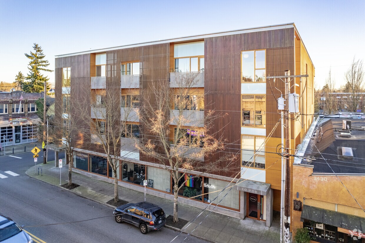
Discover your new home at Belmont Street Lofts in Portland, OR. This property is situated in the Sunnyside area of Portland. Let the knowledgeable leasing staff show you everything this community has to offer. At Belmont Street Lofts you're home.
Belmont Street Lofts is an apartment community located in Multnomah County and the 97214 ZIP Code. This area is served by the Portland School District 1j attendance zone.
Washer/Dryer
Air Conditioning
Hardwood Floors
Island Kitchen
Located just three miles east of Downtown Portland, Sunnyside is a vibrant neighborhood teeming with eclectic charm. Sunnyside is home to two major commercial stretches along Belmont Street and Hawthorne Boulevard, where independent shops, eateries, and bars abound.
Outside of Belmont Street and Hawthorne Boulevard, Sunnyside is largely residential, providing a bevy of apartments, condos, and houses for rent along tree-dense streets. Many of Sunnyside’s rental homes are actually within walking distance of its commercial offerings, affording many residents the convenience of an urban lifestyle along with the tranquility of suburban living. Sunnyside’s central locale also grants numerous residents short commute times.
Learn more about living in Sunnyside| Colleges & Universities | Distance | ||
|---|---|---|---|
| Colleges & Universities | Distance | ||
| Drive: | 10 min | 3.0 mi | |
| Drive: | 11 min | 3.4 mi | |
| Drive: | 10 min | 3.5 mi | |
| Drive: | 13 min | 4.1 mi |


Transportation options available in Portland include Se Grand & Belmont, located 1.8 miles from Belmont Street Lofts. Belmont Street Lofts is near Portland International, located 7.4 miles or 19 minutes away.
| Transit / Subway | Distance | ||
|---|---|---|---|
| Transit / Subway | Distance | ||
| Drive: | 6 min | 1.8 mi | |
| Drive: | 7 min | 2.4 mi | |
| Drive: | 7 min | 2.9 mi | |
|
|
Drive: | 7 min | 2.9 mi |
|
|
Drive: | 11 min | 5.9 mi |
| Commuter Rail | Distance | ||
|---|---|---|---|
| Commuter Rail | Distance | ||
|
|
Drive: | 10 min | 3.1 mi |
|
|
Drive: | 23 min | 10.5 mi |
|
|
Drive: | 22 min | 11.1 mi |
|
|
Drive: | 25 min | 12.0 mi |
|
|
Drive: | 25 min | 12.3 mi |
| Airports | Distance | ||
|---|---|---|---|
| Airports | Distance | ||
|
Portland International
|
Drive: | 19 min | 7.4 mi |
Time and distance from Belmont Street Lofts.
| Shopping Centers | Distance | ||
|---|---|---|---|
| Shopping Centers | Distance | ||
| Walk: | 9 min | 0.5 mi | |
| Walk: | 13 min | 0.7 mi | |
| Drive: | 4 min | 1.6 mi |
| Parks and Recreation | Distance | ||
|---|---|---|---|
| Parks and Recreation | Distance | ||
|
Laurelhurst Park
|
Walk: | 9 min | 0.5 mi |
|
Creston Park
|
Drive: | 5 min | 2.0 mi |
|
Grant Park and Beverly Cleary Sculpture Garden
|
Drive: | 7 min | 2.2 mi |
|
Mt. Tabor Park
|
Drive: | 8 min | 2.4 mi |
|
Kenilworth Park
|
Drive: | 7 min | 2.5 mi |
| Hospitals | Distance | ||
|---|---|---|---|
| Hospitals | Distance | ||
| Drive: | 4 min | 1.4 mi | |
| Drive: | 10 min | 3.9 mi | |
| Drive: | 12 min | 4.3 mi |
| Military Bases | Distance | ||
|---|---|---|---|
| Military Bases | Distance | ||
| Drive: | 16 min | 6.0 mi | |
| Drive: | 43 min | 24.3 mi |
What Are Walk Score®, Transit Score®, and Bike Score® Ratings?
Walk Score® measures the walkability of any address. Transit Score® measures access to public transit. Bike Score® measures the bikeability of any address.
What is a Sound Score Rating?
A Sound Score Rating aggregates noise caused by vehicle traffic, airplane traffic and local sources

3442-3450 SE Belmont St
Portland, OR 97214


