
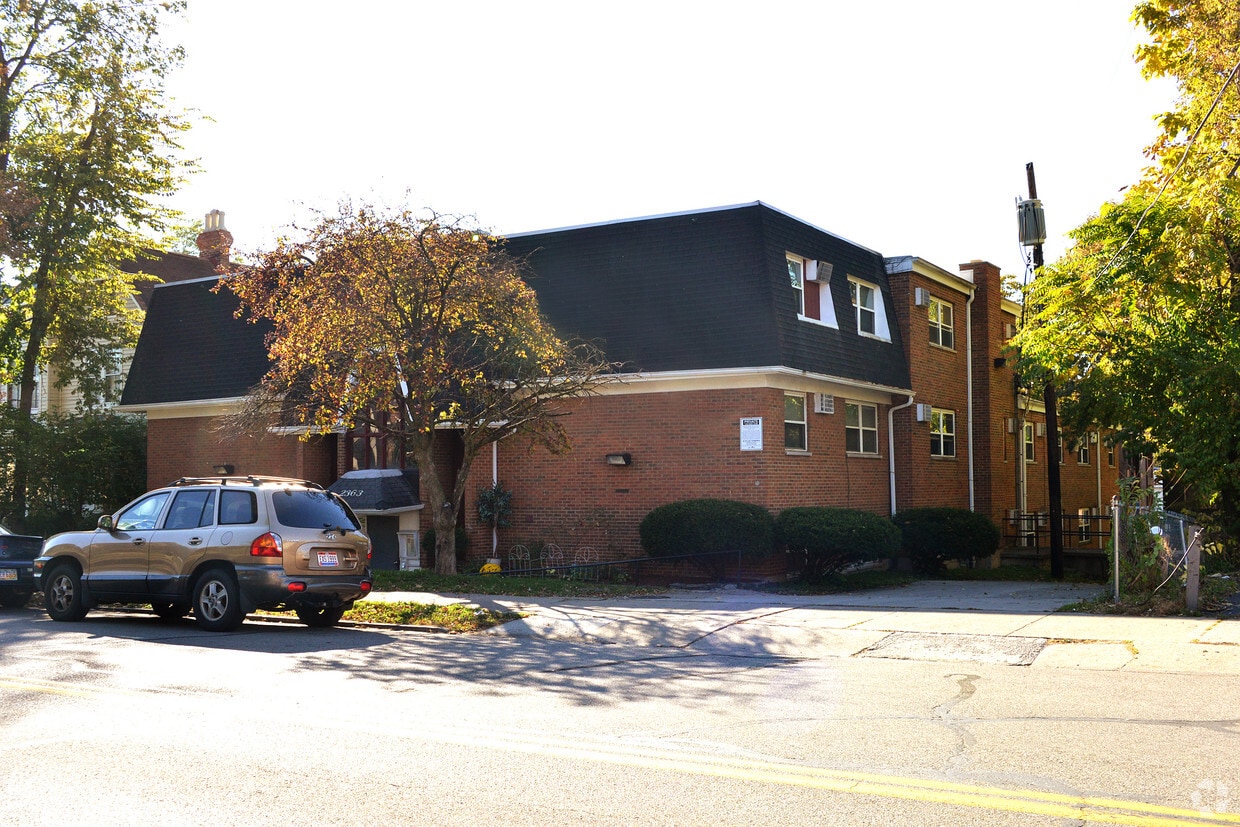
The Alto Apartments
1901 Bigelow St,
Cincinnati, OH 45219
$1,283 - $4,045
Studio - 3 Beds

Discover your next home at Advent III. Based in the 45206 area of Cincinnati on Kemper Ln., renters have connection to a variety of attractions within a few miles. Be sure to check out the apartment floorplan options. This community has a variety of available amenities and features. These include: convenient on-site parking options, smoke free options, and high-speed internet access. Drop by the leasing office to find out the current pricing.
Advent III is an apartment community located in Hamilton County and the 45206 ZIP Code. This area is served by the Cincinnati Public Schools attendance zone.
The Cincinnati neighborhood of Mount Auburn sits north of downtown and west of Interstate 71. The neighborhood, originally a hilltop escape from the crowded conditions of lower Downtown Cincinnati, gained national recognition as a historic district in 1973. The well-known community contains beautiful mansions dating back to 1819, including the home of former President William Howard Taft.
The community contains beautiful mansions formerly owned by a host of prominent residents. A number of historic buildings and sites dot the area, including the Mount Auburn Young Ladies Institute. The neighborhood also features the beloved ice cream parlor Graeter's Confectionary, as well as Christ Hospital.
Learn more about living in Mount Auburn| Colleges & Universities | Distance | ||
|---|---|---|---|
| Colleges & Universities | Distance | ||
| Drive: | 6 min | 1.9 mi | |
| Drive: | 6 min | 2.0 mi | |
| Drive: | 7 min | 2.5 mi | |
| Drive: | 13 min | 4.7 mi |


Transportation options available in Cincinnati include Hanke Exchange Station, 12Th & Main, located 2.1 miles from Advent III. Advent III is near Cincinnati/Northern Kentucky International, located 16.5 miles or 31 minutes away.
| Transit / Subway | Distance | ||
|---|---|---|---|
| Transit / Subway | Distance | ||
| Drive: | 5 min | 2.1 mi | |
| Drive: | 6 min | 2.3 mi | |
| Drive: | 6 min | 2.3 mi | |
| Drive: | 7 min | 2.5 mi | |
| Drive: | 7 min | 2.7 mi |
| Commuter Rail | Distance | ||
|---|---|---|---|
| Commuter Rail | Distance | ||
|
|
Drive: | 10 min | 4.5 mi |
| Airports | Distance | ||
|---|---|---|---|
| Airports | Distance | ||
|
Cincinnati/Northern Kentucky International
|
Drive: | 31 min | 16.5 mi |
Time and distance from Advent III.
| Shopping Centers | Distance | ||
|---|---|---|---|
| Shopping Centers | Distance | ||
| Drive: | 7 min | 2.5 mi | |
| Drive: | 7 min | 2.9 mi | |
| Drive: | 7 min | 3.1 mi |
| Parks and Recreation | Distance | ||
|---|---|---|---|
| Parks and Recreation | Distance | ||
|
Eden Park
|
Walk: | 9 min | 0.5 mi |
|
Krohn Conservatory
|
Walk: | 13 min | 0.7 mi |
|
William H. Taft National Historic Site
|
Drive: | 5 min | 1.7 mi |
|
Theodore M. Berry Friendship Park
|
Drive: | 4 min | 1.7 mi |
|
Cincinnati Zoo and Botanical Garden
|
Drive: | 6 min | 2.3 mi |
| Hospitals | Distance | ||
|---|---|---|---|
| Hospitals | Distance | ||
| Drive: | 4 min | 1.6 mi | |
| Drive: | 5 min | 1.6 mi | |
| Drive: | 5 min | 1.6 mi |
| Military Bases | Distance | ||
|---|---|---|---|
| Military Bases | Distance | ||
| Drive: | 71 min | 52.2 mi | |
| Drive: | 77 min | 57.2 mi | |
| Drive: | 80 min | 60.5 mi |
What Are Walk Score®, Transit Score®, and Bike Score® Ratings?
Walk Score® measures the walkability of any address. Transit Score® measures access to public transit. Bike Score® measures the bikeability of any address.
What is a Sound Score Rating?
A Sound Score Rating aggregates noise caused by vehicle traffic, airplane traffic and local sources


