
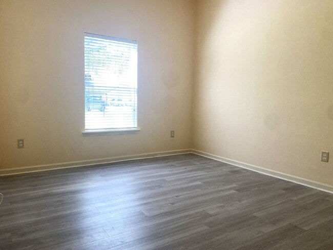

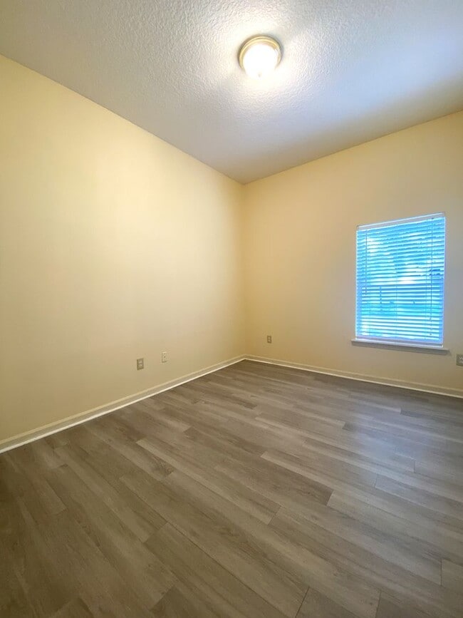
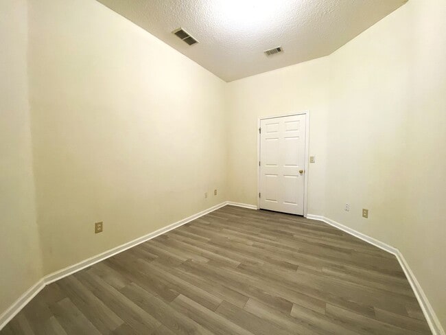

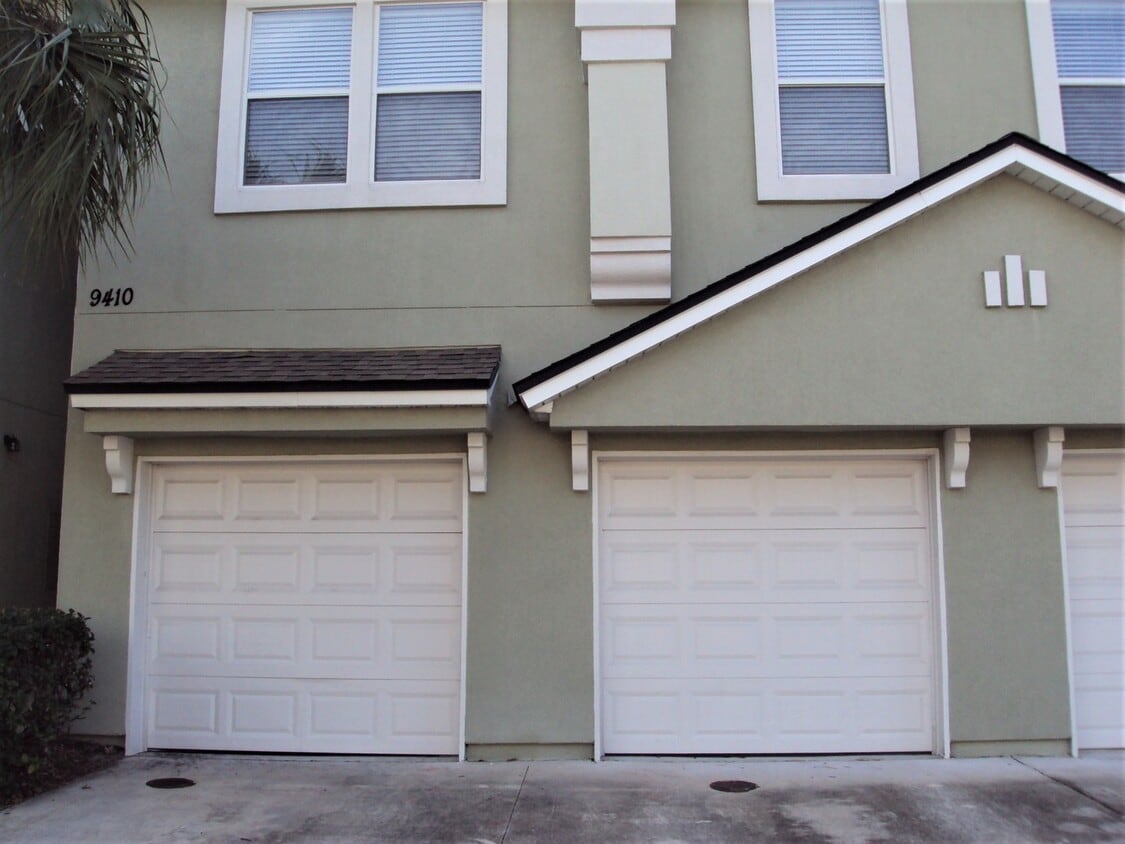
$1,550 / Month
9410 Osprey Branch Trail
Jacksonville, FL 32257
Today
Favorites
904-219-6258
-
Bedrooms
3
-
Bathrooms
2
-
Square Feet
1,284 sq ft
-
Available
Available Now
9410 Osprey Branch Trail

Favorites
Contact
- Listed by Atlantic | Atlantic Shores Realty of Jacksonville LLC (lh)
- Phone Number
- Contact
Location
Get Directions
Nestled alongside the Saint Johns River, the Southside is a sprawling community just south of Downtown Jacksonville. The Southside is largely residential, offering a wide variety of apartments, condos, townhomes, and houses available for rent in a peaceful locale.
In addition to its many residences, the Southside contains excellent shopping options at expansive retail destinations the Saint Johns Town Center and the Avenues. The Southside is also home to an array of family-fun venues, including Bravoz Entertainment Center, Autobahn Indoor Speedway, and Flight Fit N Fun Jacksonville, as well as outdoor recreation centers like Losco Regional Park, Mandarin Park, and numerous area golf courses.
Additional options for recreation abound on the river and beautiful neighboring beaches such as Neptune Beach, Jacksonville Beach, and Ponte Vedra Beach.
Learn more about living in Southside
Education
| Colleges & Universities | Distance | ||
|---|---|---|---|
| Colleges & Universities | Distance | ||
| Drive: | 10 min | 4.1 mi | |
| Drive: | 22 min | 11.8 mi | |
| Drive: | 23 min | 12.4 mi | |
| Drive: | 28 min | 12.7 mi |
9410 Osprey Branch Trail is within 10 minutes or 4.1 miles from Florida Coastal School of Law. It is also near University of North Florida and Fla. State Coll. Jacksonville.
Transportation options available in Jacksonville include Kings Ave Station, located 9.3 miles from 9410 Osprey Branch Trail. 9410 Osprey Branch Trail is near Jacksonville International, located 26.0 miles or 43 minutes away.
| Transit / Subway | Distance | ||
|---|---|---|---|
| Transit / Subway | Distance | ||
| Drive: | 19 min | 9.3 mi | |
|
|
Drive: | 19 min | 9.4 mi |
|
|
Drive: | 19 min | 9.6 mi |
|
|
Drive: | 19 min | 10.6 mi |
|
|
Drive: | 21 min | 11.5 mi |
| Commuter Rail | Distance | ||
|---|---|---|---|
| Commuter Rail | Distance | ||
|
|
Drive: | 31 min | 17.4 mi |
| Airports | Distance | ||
|---|---|---|---|
| Airports | Distance | ||
|
Jacksonville International
|
Drive: | 43 min | 26.0 mi |
Time and distance from 9410 Osprey Branch Trail.
| Shopping Centers | Distance | ||
|---|---|---|---|
| Shopping Centers | Distance | ||
| Walk: | 10 min | 0.5 mi | |
| Drive: | 3 min | 1.1 mi | |
| Drive: | 3 min | 1.2 mi |
9410 Osprey Branch Trail has 3 shopping centers within 1.2 miles, which is about a 3-minute walk. The miles and minutes will be for the farthest away property.
| Parks and Recreation | Distance | ||
|---|---|---|---|
| Parks and Recreation | Distance | ||
|
Camp Tomahawk
|
Drive: | 7 min | 2.8 mi |
|
Walter Jones Historical Park
|
Drive: | 9 min | 4.6 mi |
|
Mandarin Park
|
Drive: | 14 min | 6.2 mi |
|
Lovelace Park
|
Drive: | 14 min | 6.6 mi |
|
Touchton Road Park
|
Drive: | 16 min | 8.1 mi |
9410 Osprey Branch Trail has 5 parks within 8.1 miles, including Camp Tomahawk, Walter Jones Historical Park, and Mandarin Park.
| Hospitals | Distance | ||
|---|---|---|---|
| Hospitals | Distance | ||
| Drive: | 12 min | 5.5 mi | |
| Drive: | 14 min | 6.3 mi | |
| Drive: | 20 min | 10.9 mi |
9410 Osprey Branch Trail has 3 hospitals within 10.9 miles, the nearest is Ascension St. Vincent's Southside which is 5.5 miles away and a 12 minute drive.
| Military Bases | Distance | ||
|---|---|---|---|
| Military Bases | Distance | ||
| Drive: | 19 min | 10.8 mi | |
| Drive: | 42 min | 24.6 mi |
9410 Osprey Branch Trail is 10.8 miles from Jacksonville Naval Air Station, and is convenient to other military bases, including Mayport Naval Air Station.
You May Also Like
Similar Rentals Nearby
-
-

-

-

-

-
-
-
1 / 20

-
-


What Are Walk Score®, Transit Score®, and Bike Score® Ratings?
Walk Score® measures the walkability of any address. Transit Score® measures access to public transit. Bike Score® measures the bikeability of any address.
What is a Sound Score Rating?
A Sound Score Rating aggregates noise caused by vehicle traffic, airplane traffic and local sources
9410 Osprey Branch Trail
Jacksonville, FL 32257