
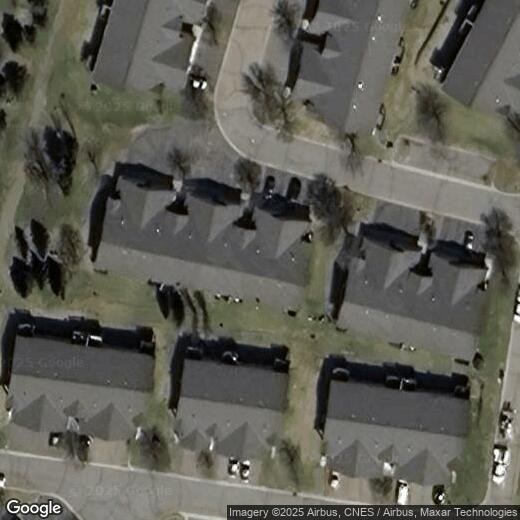
9171 Orchard Lane
9171 Orchard Lane
Monticello, MN 55362
2 Weeks Ago
|
Edit
Favorites
9171 Orchard Lane

Favorites
Check Back Soon for Upcoming Availability
| Beds | Baths | Average SF |
|---|---|---|
| 1 Bedroom 1 Bedroom 1 Br | 1 Bath 1 Bath 1 Ba | — |
9171 Orchard Lane,
Monticello,
MN
55362
Monticello sits along the Mississippi River about 37 miles northwest of Minneapolis, and every winter, thousands of trumpeter swans flock to the city's Swan Park — one of the most striking natural spectacles in Minnesota. With 28 city parks and miles of winding trails, outdoor life here is woven into the everyday routine. Montissippi Regional Park and Lake Maria State Park offer hiking, fishing, and camping, while the downtown strip keeps things lively with local shops and dining. The annual Riverfest celebration draws the whole community to the riverfront each year, giving the city a small-town energy that sets it apart from the busier metro areas to the south and east.
Renters will find a solid mix of options, from spacious townhomes and ground-level units to newer apartment communities that reflect the city's steady growth. Studios and one-, two-, and three-bedroom floor plans are well represented across the rental market. Whether you're commuting to St.
Learn more about living in Monticello
Education
| Colleges & Universities | Distance | ||
|---|---|---|---|
| Colleges & Universities | Distance | ||
| Drive: | 34 min | 26.2 mi | |
| Drive: | 41 min | 27.1 mi | |
| Drive: | 38 min | 28.7 mi | |
| Drive: | 38 min | 29.8 mi |
9171 Orchard Lane is within 34 minutes or 26.2 miles from North Hennepin Comm. Coll.. It is also near Anoka-Ramsey C.C., Coon Rapids and St. Cloud State University.
Walkability Near 9171 Orchard Lane Monticello, MN 55362
Getting Around
 What do Walkability, Transit, Drivability, and Bikeability mean?
Walkability measures the walking distance to day-to-day needs.
Transit measures access to public transportation.
Drivability measures congestion, parking availability, and access to major roads.
Bikeability measures the suitability for cycling.
How It Works
What do Walkability, Transit, Drivability, and Bikeability mean?
Walkability measures the walking distance to day-to-day needs.
Transit measures access to public transportation.
Drivability measures congestion, parking availability, and access to major roads.
Bikeability measures the suitability for cycling.
How It Works
Fairly Walkable
Walkability
40
/ 100
Exceptionally Drivable
Drivability
100
/ 100
Somewhat Bikeable
Bikeability
30
/ 100
Scores provided by
-
Soundscore™
-
/ 100
Traffic
-Airport
-Businesses
-Scores provided by
HowLoud What is a Sound Score Rating? A Sound Score Rating aggregates noise caused by vehicle traffic, airplane traffic and local sources. How It WorksYou May Also Like
Similar Rentals Nearby
-
-
-
1 Bed$1,574+2 Beds$1,899+3 Beds$2,109+Total Monthly PriceTotal Monthly Price NewPrices include required monthly fees of $4.Base Rent:1 Bed$1,570+2 Beds$1,895+3 Beds$2,105+
-
Plus Fees2 Beds$1,950+3 Beds$2,554
-
3 Beds$1,2914 Beds$1,546+Total Monthly PriceTotal Monthly Price NewPrices include required monthly fees of $16.Base Rent:3 Beds$1,2754 Beds$1,530+
-
Plus Fees3 Beds$1,850+
-

-
 Total Monthly Price New1 Bed$1,719+2 Beds$1,821+Total Monthly PricePrices include required monthly fees of $4.Base Rent:1 Bed$1,715+2 Beds$1,817+
 -
 Total Monthly Price New2 Beds$2,805+3 Beds$3,010+4 Beds$3,455+Total Monthly PricePrices include base rent and required monthly fees of $130. Variable costs based on usage may apply.Base Rent:2 Beds$2,675+3 Beds$2,880+4 Beds$3,325+
 -


What Are Walk Score®, Transit Score®, and Bike Score® Ratings?
Walk Score® measures the walkability of any address. Transit Score® measures access to public transit. Bike Score® measures the bikeability of any address.
What is a Sound Score Rating?
A Sound Score Rating aggregates noise caused by vehicle traffic, airplane traffic and local sources.
9171 Orchard Lane
Monticello, MN 55362