
Midtown Apartments
6386 Transit Rd,
Depew, NY 14043
$1,669 - $3,027
1-3 Beds
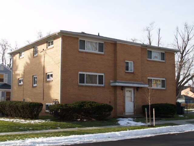
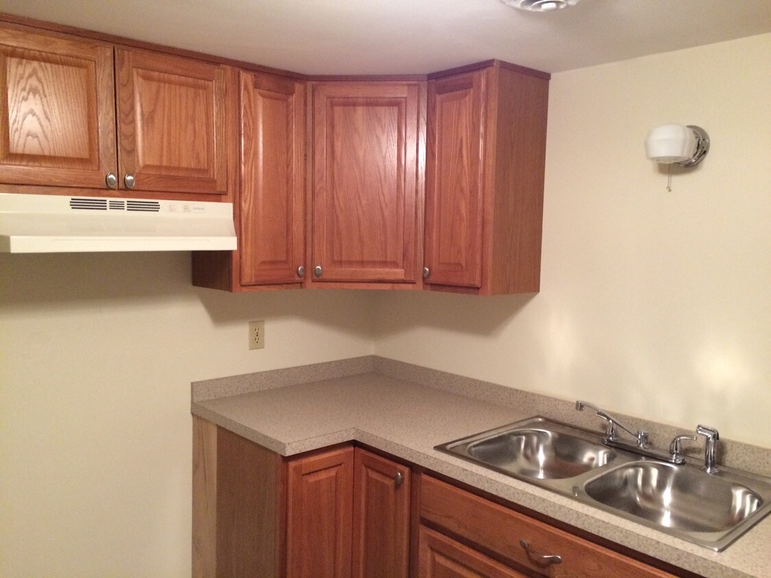
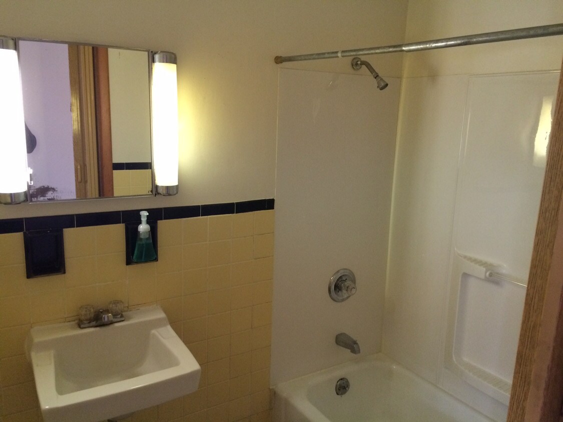

9 Forrestal Ln is ready for your visit. The 14210 location in West Seneca has much to offer its residents. Make a visit to see the available floorplan options. The team of leasing professionals is ready to help you find your perfect place. Come be a part of 9 Forrestal Ln. Stop by the leasing office to schedule your tour.
9 Forrestal Ln is an apartment community located in Erie County and the 14210 ZIP Code. This area is served by the West Seneca Central School District attendance zone.
West Seneca lies a few miles off the coast of Lake Erie, located just 10 miles southeast of Buffalo, New York. The Buffalo River flows into West Seneca, branching off into multiple creeks that move through the city. West Seneca offers convenient access to the bustling city of Buffalo, the glistening Lake Erie, and the Buffalo Niagara International Airport.
This family-friendly city provides access to public schools in the West Seneca Central School District and houses many community parks with sports fields and open green space. Visit the Cazenovia Creek Wildlife Management Area for incredible wildlife watching opportunities, fishing, and hiking along the Cazenovia Creek.
Get your shopping done at the Southgate Plaza with convenient retail stores, local businesses, and a variety of restaurants. Enjoy pub cuisine and draft beers in a cozy space at Ebenezer Ale House on Seneca Street.
Learn more about living in West SenecaCompare neighborhood and city base rent averages by bedroom.
| Cazenovia Park | West Seneca, NY | |
|---|---|---|
| Studio | - | $534 |
| 1 Bedroom | $1,019 | $1,144 |
| 2 Bedrooms | $932 | $1,448 |
| 3 Bedrooms | - | $1,835 |
| Colleges & Universities | Distance | ||
|---|---|---|---|
| Colleges & Universities | Distance | ||
| Drive: | 9 min | 4.9 mi | |
| Drive: | 13 min | 7.0 mi | |
| Drive: | 17 min | 7.3 mi | |
| Drive: | 18 min | 7.8 mi |


Transportation options available in West Seneca include Seneca, located 5.0 miles from 9 Forrestal Ln. 9 Forrestal Ln is near Buffalo Niagara International, located 10.6 miles or 20 minutes away, and Niagara Falls International, located 25.0 miles or 37 minutes away.
| Transit / Subway | Distance | ||
|---|---|---|---|
| Transit / Subway | Distance | ||
|
|
Drive: | 10 min | 5.0 mi |
|
|
Drive: | 10 min | 5.1 mi |
|
|
Drive: | 10 min | 5.2 mi |
|
|
Drive: | 10 min | 5.3 mi |
|
|
Drive: | 11 min | 5.6 mi |
| Commuter Rail | Distance | ||
|---|---|---|---|
| Commuter Rail | Distance | ||
|
|
Drive: | 9 min | 5.0 mi |
|
|
Drive: | 14 min | 7.0 mi |
|
|
Drive: | 39 min | 26.4 mi |
| Airports | Distance | ||
|---|---|---|---|
| Airports | Distance | ||
|
Buffalo Niagara International
|
Drive: | 20 min | 10.6 mi |
|
Niagara Falls International
|
Drive: | 37 min | 25.0 mi |
Scores provided by
Traffic
-Airport
-Businesses
-Scores provided by
HowLoud What is a Sound Score Rating? A Sound Score Rating aggregates noise caused by vehicle traffic, airplane traffic and local sources. How It WorksTime and distance from 9 Forrestal Ln.
| Shopping Centers | Distance | ||
|---|---|---|---|
| Shopping Centers | Distance | ||
| Walk: | 13 min | 0.7 mi | |
| Drive: | 4 min | 1.6 mi | |
| Drive: | 5 min | 2.3 mi |
| Parks and Recreation | Distance | ||
|---|---|---|---|
| Parks and Recreation | Distance | ||
|
Buffalo and Erie County Botanical Gardens
|
Drive: | 9 min | 3.4 mi |
|
Tifft Nature Preserve
|
Drive: | 10 min | 4.1 mi |
|
Buffalo Harbor State Park
|
Drive: | 12 min | 4.7 mi |
|
Canalside
|
Drive: | 11 min | 5.5 mi |
|
Buffalo Museum of Science
|
Drive: | 14 min | 5.7 mi |
| Hospitals | Distance | ||
|---|---|---|---|
| Hospitals | Distance | ||
| Drive: | 3 min | 1.1 mi | |
| Drive: | 8 min | 4.2 mi | |
| Drive: | 13 min | 6.3 mi |
| Military Bases | Distance | ||
|---|---|---|---|
| Military Bases | Distance | ||
| Drive: | 36 min | 25.5 mi | |
| Drive: | 42 min | 27.0 mi |
What Are Walk Score®, Transit Score®, and Bike Score® Ratings?
Walk Score® measures the walkability of any address. Transit Score® measures access to public transit. Bike Score® measures the bikeability of any address.
What is a Sound Score Rating?
A Sound Score Rating aggregates noise caused by vehicle traffic, airplane traffic and local sources.

9 Forrestal Ln
West Seneca, NY 14210


