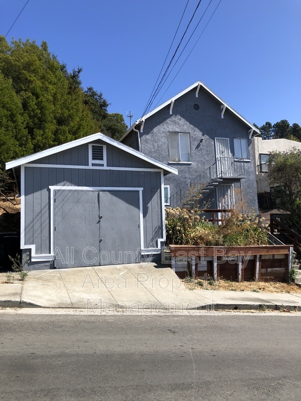
8950 Lawlor St
Oakland, CA 94605

Check Back Soon for Upcoming Availability
| Beds | Baths | Average SF |
|---|---|---|
| 2 Bedrooms 2 Bedrooms 2 Br | 2 Baths 2 Baths 2 Ba | 1,029 SF |
About This Property
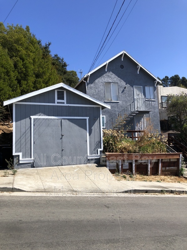
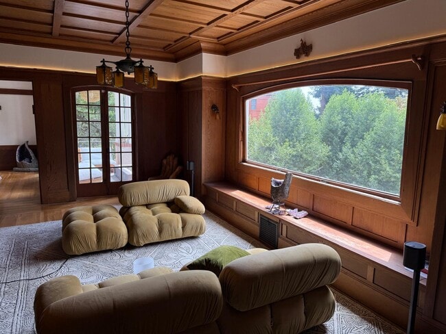
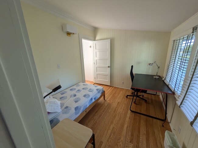
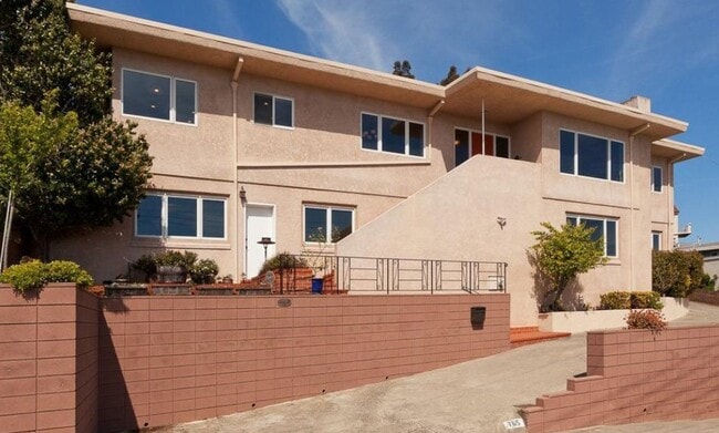
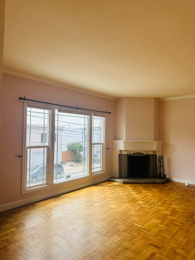
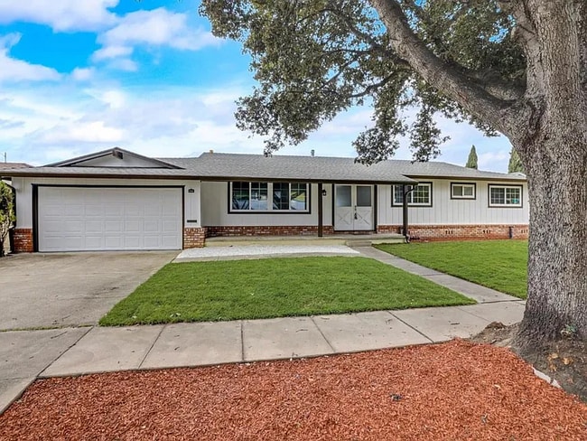
This two bedroom two full bath home is available for rent. The entire HOME has been renovated and has wood floors in all the living spaces. The bathrooms have tile floors and so does the kitchen. The layout has a downstairs area that has a bedroom and a large living area and the upstairs also has a large living area with a kitchen and a smaller bedroom close by. Washer and dryer hookups are provided and the home is close to Bishop O’Dowd high school and the Oakland Zoo with easy access to freeways..
8950 Lawlor St is a house located in Alameda County and the 94605 ZIP Code. This area is served by the Oakland Unified attendance zone.
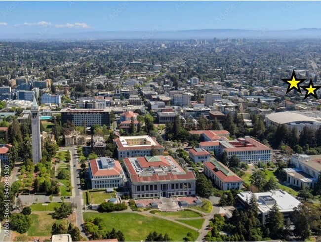
Many Oakland residents have a different definition of what East Oakland is, but the area roughly stretches from Lakeshore Avenue southeast towards San Leandro. This diverse community has a storied history and remains an active and tight-knit community within the rapidly developing Bay Area. You’ll find a variety of rentals, ranging from the luxurious and upscale condos near the center of Oakland, to more modest and affordable communities near San Leandro. This vast swath of suburban Oakland houses American cuisine, Mexican restaurants, taco spots, and more. In the ever-expanding landscape of Oakland, East Oakland remains one of the more affordable locales in the Bay Area. Thanks to multiple BART (Bay Area Rapid Transit), you can be anywhere in Oakland and San Francisco in no time.
Learn more about living in East Oakland| Colleges & Universities | Distance | ||
|---|---|---|---|
| Colleges & Universities | Distance | ||
| Drive: | 9 min | 3.3 mi | |
| Drive: | 13 min | 6.9 mi | |
| Drive: | 18 min | 9.5 mi | |
| Drive: | 31 min | 13.5 mi |
 The GreatSchools Rating helps parents compare schools within a state based on a variety of school quality indicators and provides a helpful picture of how effectively each school serves all of its students. Ratings are on a scale of 1 (below average) to 10 (above average) and can include test scores, college readiness, academic progress, advanced courses, equity, discipline and attendance data. We also advise parents to visit schools, consider other information on school performance and programs, and consider family needs as part of the school selection process.
View GreatSchools Rating Methodology
Data provided by GreatSchools.org © 2025. All rights reserved.
Transportation options available in Oakland include Coliseum Oakland Airport Station, located 2.8 miles from 8950 Lawlor St. 8950 Lawlor St is near Metro Oakland International, located 5.1 miles or 10 minutes away, and San Francisco International, located 30.4 miles or 41 minutes away.
| Transit / Subway | Distance | ||
|---|---|---|---|
| Transit / Subway | Distance | ||
|
|
Drive: | 6 min | 2.8 mi |
|
|
Drive: | 7 min | 3.3 mi |
|
|
Drive: | 8 min | 4.4 mi |
|
|
Drive: | 10 min | 4.8 mi |
|
|
Drive: | 10 min | 5.4 mi |
| Commuter Rail | Distance | ||
|---|---|---|---|
| Commuter Rail | Distance | ||
|
|
Drive: | 13 min | 7.7 mi |
|
|
Drive: | 15 min | 8.7 mi |
| Drive: | 15 min | 8.7 mi | |
|
|
Drive: | 16 min | 11.0 mi |
|
|
Drive: | 19 min | 13.0 mi |
| Airports | Distance | ||
|---|---|---|---|
| Airports | Distance | ||
|
Metro Oakland International
|
Drive: | 10 min | 5.1 mi |
|
San Francisco International
|
Drive: | 41 min | 30.4 mi |
Time and distance from 8950 Lawlor St.
| Shopping Centers | Distance | ||
|---|---|---|---|
| Shopping Centers | Distance | ||
| Drive: | 3 min | 1.4 mi | |
| Drive: | 4 min | 1.5 mi | |
| Drive: | 3 min | 1.6 mi |
| Parks and Recreation | Distance | ||
|---|---|---|---|
| Parks and Recreation | Distance | ||
|
Arroyo Viejo Creek at the Oakland Zoo
|
Drive: | 5 min | 1.2 mi |
|
Oakland Zoo
|
Drive: | 6 min | 1.3 mi |
|
Dunsmuir Hellman Historic Estate
|
Drive: | 4 min | 1.7 mi |
|
Leona Canyon Regional Open Space Preserve
|
Drive: | 10 min | 4.4 mi |
|
Martin Luther King Jr. Regional Shoreline
|
Drive: | 10 min | 4.5 mi |
| Hospitals | Distance | ||
|---|---|---|---|
| Hospitals | Distance | ||
| Drive: | 7 min | 4.5 mi | |
| Drive: | 10 min | 5.0 mi | |
| Drive: | 9 min | 5.2 mi |
| Military Bases | Distance | ||
|---|---|---|---|
| Military Bases | Distance | ||
| Drive: | 22 min | 11.0 mi |
You May Also Like
Similar Rentals Nearby
What Are Walk Score®, Transit Score®, and Bike Score® Ratings?
Walk Score® measures the walkability of any address. Transit Score® measures access to public transit. Bike Score® measures the bikeability of any address.
What is a Sound Score Rating?
A Sound Score Rating aggregates noise caused by vehicle traffic, airplane traffic and local sources
