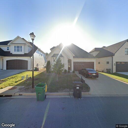

843 Wildcreek Cir
843 Wildcreek Cir
Little Rock, AR 72223
Favorites
843 Wildcreek Cir

Favorites
Check Back Soon for Upcoming Availability
843 Wildcreek Cir,
Little Rock,
AR
72223
Little Rock is the capital of Arkansas and the state's largest city, sitting along the south bank of the Arkansas River near the geographic center of the state. Government anchors much of the city's economy alongside healthcare, education, and finance, with major employers including the University of Arkansas for Medical Sciences, Arkansas Children's Hospital, and Dillard's. The University of Arkansas at Little Rock adds a steady academic presence, and Little Rock Central High School National Historic Site marks the city's lasting place in civil rights history.
Neighborhoods range widely in character. Downtown and the River Market District draw those who want walkability and energy near the Clinton Presidential Center and the Arkansas Museum of Fine Arts. Hillcrest and the Heights offer established, tree-lined streets with shops and dining along Kavanaugh Boulevard.
Learn more about living in Little Rock
Education
| Colleges & Universities | Distance | ||
|---|---|---|---|
| Colleges & Universities | Distance | ||
| Drive: | 20 min | 10.8 mi | |
| Drive: | 20 min | 11.0 mi | |
| Drive: | 22 min | 13.0 mi | |
| Drive: | 32 min | 19.6 mi |
843 Wildcreek Cir is within 20 minutes or 11.0 miles from Univ. of Ark. Medical Scis.. It is also near UA Little Rock and Philander Smith College.
Walkability Near 843 Wildcreek Cir Little Rock, AR 72223
Getting Around
 What do Walkability, Transit, Drivability, and Bikeability mean?
Walkability measures the walking distance to day-to-day needs.
Transit measures access to public transportation.
Drivability measures congestion, parking availability, and access to major roads.
Bikeability measures the suitability for cycling.
How It Works
What do Walkability, Transit, Drivability, and Bikeability mean?
Walkability measures the walking distance to day-to-day needs.
Transit measures access to public transportation.
Drivability measures congestion, parking availability, and access to major roads.
Bikeability measures the suitability for cycling.
How It Works
Somewhat Walkable
Walkability
20
/ 100
Minimal Public Transit
Transit
0
/ 100
Exceptionally Drivable
Drivability
100
/ 100
Somewhat Bikeable
Bikeability
30
/ 100
Scores provided by
-
Soundscore™
-
/ 100
Traffic
-Airport
-Businesses
-Scores provided by
HowLoud What is a Sound Score Rating? A Sound Score Rating aggregates noise caused by vehicle traffic, airplane traffic and local sources. How It WorksYou May Also Like
Similar Rentals Nearby


What Are Walk Score®, Transit Score®, and Bike Score® Ratings?
Walk Score® measures the walkability of any address. Transit Score® measures access to public transit. Bike Score® measures the bikeability of any address.
What is a Sound Score Rating?
A Sound Score Rating aggregates noise caused by vehicle traffic, airplane traffic and local sources.