
Fayette Arms Apartments
2680 Fayette Dr,
Mountain View, CA 94040
$3,438
1-2 Beds


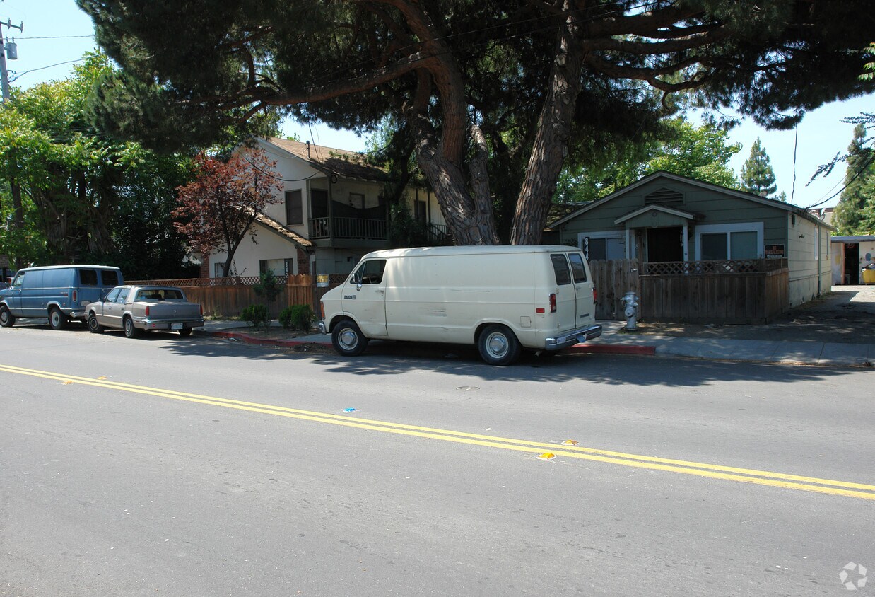
Discover your new apartment at 842-844 Independence in Mountain View, CA. You'll find this community on Independence Ave in the Outer Mountain View Los Altos area of Mountain View. Compare 1 to 2 bedroom floor plans, then call for current pricing. From amenities to availability, the professional leasing staff will assist you in finding your new place. Start living the good life at 842-844 Independence. Contact us or stop in to learn more about our community.
842-844 Independence is an apartment community located in Santa Clara County and the 94043 ZIP Code. This area is served by the Mountain View Whisman School District attendance zone.
Air Conditioning
High Speed Internet Access
Smoke Free
Heating
Mountain View, California combines technological innovation with suburban living in Silicon Valley. The city, headquarters to companies like Google and Intuit, features a pedestrian-friendly downtown along Castro Street filled with dining options and local shops. The rental market shows steady activity, with current average rents ranging from $2,708 for studios to $4,898 for three-bedroom apartments, reflecting a modest year-over-year increase between 1.8% and 3.7%. Notable areas include the Monta Loma neighborhood, showcasing mid-century modern architecture, and the Cuernavaca district, characterized by Spanish-style homes.
The city offers abundant outdoor recreation at Shoreline Park along the San Francisco Bay, featuring trails, a golf course, and the Shoreline Amphitheatre. Stevens Creek Trail winds through the city, while landmarks like the NASA Ames Research Center and Computer History Museum highlight the area's scientific legacy.
Learn more about living in Mountain View| Colleges & Universities | Distance | ||
|---|---|---|---|
| Colleges & Universities | Distance | ||
| Walk: | 15 min | 0.8 mi | |
| Drive: | 12 min | 5.2 mi | |
| Drive: | 14 min | 5.2 mi | |
| Drive: | 16 min | 9.8 mi |


Transportation options available in Mountain View include Mountain View Station, located 2.4 miles from 842-844 Independence. 842-844 Independence is near Norman Y Mineta San Jose International, located 10.5 miles or 15 minutes away, and San Francisco International, located 23.5 miles or 30 minutes away.
| Transit / Subway | Distance | ||
|---|---|---|---|
| Transit / Subway | Distance | ||
| Drive: | 5 min | 2.4 mi | |
| Drive: | 5 min | 3.0 mi | |
|
|
Drive: | 6 min | 3.6 mi |
|
|
Drive: | 7 min | 3.6 mi |
| Drive: | 7 min | 3.9 mi |
| Commuter Rail | Distance | ||
|---|---|---|---|
| Commuter Rail | Distance | ||
| Drive: | 4 min | 1.6 mi | |
| Drive: | 7 min | 2.8 mi | |
| Drive: | 9 min | 4.0 mi | |
| Drive: | 12 min | 5.1 mi | |
| Drive: | 10 min | 5.8 mi |
| Airports | Distance | ||
|---|---|---|---|
| Airports | Distance | ||
|
Norman Y Mineta San Jose International
|
Drive: | 15 min | 10.5 mi |
|
San Francisco International
|
Drive: | 30 min | 23.5 mi |
Scores provided by
Traffic
-Airport
-Businesses
-Scores provided by
HowLoud What is a Sound Score Rating? A Sound Score Rating aggregates noise caused by vehicle traffic, airplane traffic and local sources. How It WorksTime and distance from 842-844 Independence.
| Shopping Centers | Distance | ||
|---|---|---|---|
| Shopping Centers | Distance | ||
| Walk: | 3 min | 0.2 mi | |
| Walk: | 5 min | 0.3 mi | |
| Walk: | 9 min | 0.5 mi |
| Parks and Recreation | Distance | ||
|---|---|---|---|
| Parks and Recreation | Distance | ||
|
J. Pearce Mitchell Park
|
Drive: | 5 min | 1.6 mi |
|
Stevens Creek Shoreline Nature Study Area
|
Drive: | 6 min | 2.4 mi |
|
Terman Park
|
Drive: | 7 min | 2.9 mi |
|
Bol Park
|
Drive: | 9 min | 3.6 mi |
|
Esther Clark Nature Preserve
|
Drive: | 10 min | 3.9 mi |
| Hospitals | Distance | ||
|---|---|---|---|
| Hospitals | Distance | ||
| Drive: | 7 min | 4.5 mi | |
| Drive: | 14 min | 5.8 mi | |
| Drive: | 16 min | 6.3 mi |
| Military Bases | Distance | ||
|---|---|---|---|
| Military Bases | Distance | ||
| Drive: | 8 min | 3.4 mi | |
| Drive: | 55 min | 39.6 mi | |
| Drive: | 56 min | 39.8 mi |
Fitness Center Pool In Unit Washer & Dryer High-Speed Internet Stainless Steel Appliances Package Service
What Are Walk Score®, Transit Score®, and Bike Score® Ratings?
Walk Score® measures the walkability of any address. Transit Score® measures access to public transit. Bike Score® measures the bikeability of any address.
What is a Sound Score Rating?
A Sound Score Rating aggregates noise caused by vehicle traffic, airplane traffic and local sources.
842-844 Independence Ave
Mountain View, CA 94043


