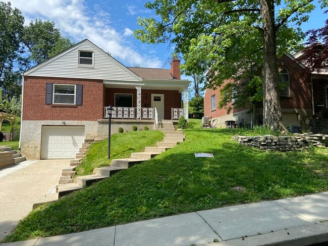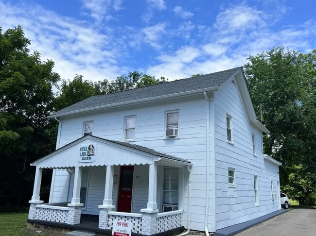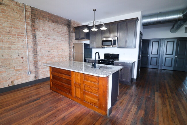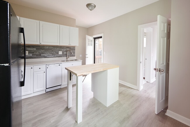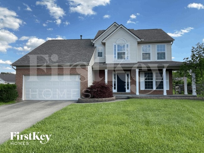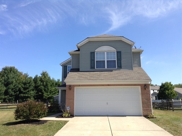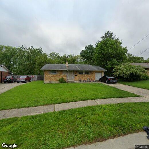

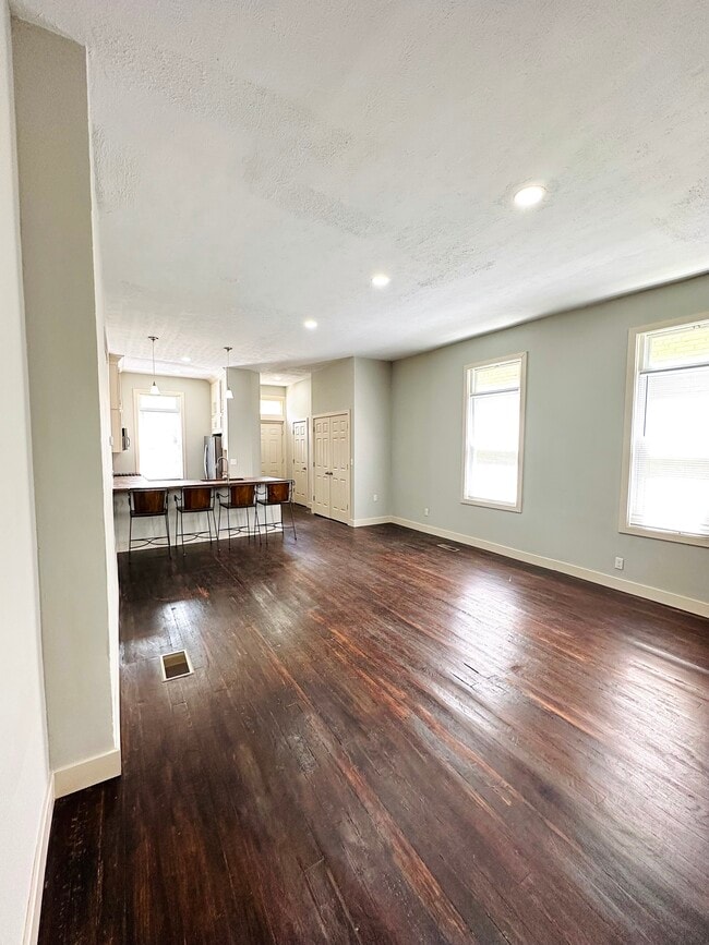
830 Fairborn Rd

830 Fairborn Rd

,

Cincinnati, OH 45240

Share Listing
Favorites
830 Fairborn Rd
Share Listing
Favorites

Check Back Soon for Upcoming Availability

Beds Baths Average SF
1 Bedroom 1 Bedroom 1 Br 1 Bath 1 Bath 1 Ba
Location
830 Fairborn Rd, Cincinnati,
OH 45240
Get Directions
| Edit

Under 30 minutes

Commute Time is calculated at rush hour.
City - Cincinnati

Cincinnati sits on the northern bank of the Ohio River, where rolling hills meet a city that helped establish the Midwest long before other major metros existed. Settled in 1788, the Queen City sits west of the Appalachian Mountains and combines historic culture with urban living.

Today, neighborhoods like Over-the-Rhine, Hyde Park, and Mount Adams each bring a distinct character to city life. Over-the-Rhine is packed with restored 19th-century architecture, Findlay Market, and Music Hall. Mount Adams perches beside Eden Park with stunning river views, while Hyde Park Square draws locals and tourists alike with local cafes and walkable streets.

Renters will find a wide range of housing options across the city, from converted lofts and townhouses in Over-the-Rhine to sleek high-rise apartment communities along the riverfront at The Banks. Clifton and Oakley offer everything from charming older buildings to newer developments with modern amenities.

Learn more about living in Cincinnati 
Education
Colleges & Universities Distance
Drive: 16 min 6.9 mi
Drive: 19 min 9.5 mi
Drive: 22 min 12.7 mi
Drive: 30 min 17.2 mi
830 Fairborn Rd is within 16 minutes or 6.9 miles from Cincinnati State, WDC. It is also near Miami University Hamilton and Univ. of Cincinnati, Blue Ash.
Transportation

830 Fairborn Rd is near Cincinnati/Northern Kentucky International, located 33.5 miles or 54 minutes away.

Commuter Rail Distance
Drive: 30 min 19.5 mi
Airports Distance
Airports Distance
Cincinnati/Northern Kentucky International
Drive: 54 min 33.5 mi

Walkability Near 830 Fairborn Rd Cincinnati, OH 45240

Getting Around
Fairly Walkable
Walkability
40 / 100
Limited Public Transit
Transit
20 / 100
Exceptionally Drivable
Drivability
100 / 100
Somewhat Bikeable
Bikeability
30 / 100

Scores provided by

What do Walkability, Transit, Drivability, and Bikeability mean? Walkability measures the walking distance to day-to-day needs. Transit measures access to public transportation. Drivability measures congestion, parking availability, and access to major roads. Bikeability measures the suitability for cycling. How It Works
-
Soundscore
- / 100

Traffic

-

Airport

-

Businesses

-

Scores provided by

HowLoud What is a Sound Score Rating? A Sound Score Rating aggregates noise caused by vehicle traffic, airplane traffic and local sources. How It Works
Points of Interest

Time and distance from 830 Fairborn Rd.

Shopping Centers Distance
Walk: 20 min 1.0 mi
Drive: 3 min 1.3 mi
Drive: 4 min 1.5 mi
830 Fairborn Rd has 3 shopping centers within 1.5 miles, which is about a 4-minute drive. The miles and minutes will be for the farthest away property.
Parks and Recreation Distance
Glenwood Gardens
Drive: 7 min 3.4 mi
Winton Woods Park
Drive: 9 min 3.6 mi
Triple Creek Park
Drive: 12 min 5.6 mi
Gorman Heritage Farm
Drive: 15 min 6.8 mi
Heritage Village Museum
Drive: 12 min 7.5 mi
830 Fairborn Rd has 5 parks within 7.5 miles, including Glenwood Gardens, Winton Woods Park, and Triple Creek Park.
Hospitals Distance
Hospitals Distance
Drive: 7 min 3.0 mi
Drive: 14 min 6.3 mi
Drive: 15 min 6.8 mi
830 Fairborn Rd has 3 hospitals within 6.8 miles, the nearest is Mercy Health - Fairfield Hospital which is 3.0 miles away and a 7 minute drive.
Military Bases Distance
Drive: 57 min 43.3 mi
Drive: 63 min 48.4 mi
Drive: 66 min 51.6 mi
830 Fairborn Rd has 3 military bases within 51.6 miles, the nearest is Gentile Air Force Station which is 43.3 miles away and a 57 minute drive.

You May Also Like

Similar Rentals Nearby