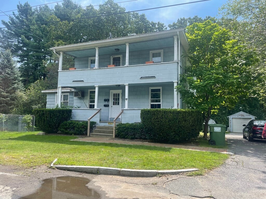


3 Beds
$3,407+
Total Monthly Price
Total Monthly Price
New
Prices include all required monthly fees.
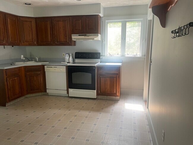
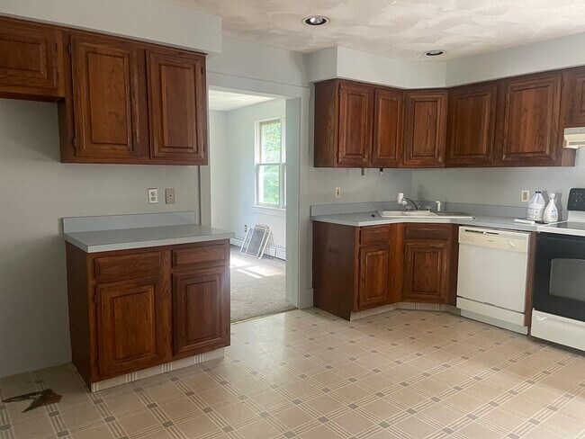
Pets Allowed Fitness Center Pool Dishwasher Refrigerator Walk-In Closets


