
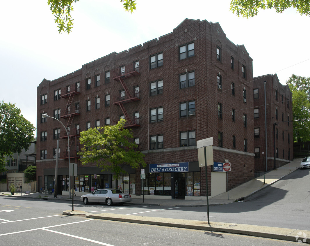
The Altos
27-29 Barker Ave,
White Plains, NY 10601
$2,802 - $7,530
Studio - 3 Beds

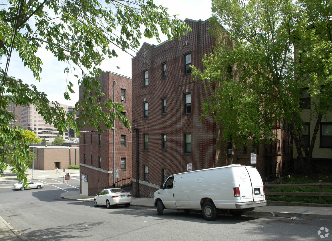

Find your new apartment at 82 Bank St in White Plains, NY. The 82 Bank St. location in the Downtown White Plains neighborhood of White Plains is a terrific place to live. Featuring 1 to 3 bedroom floor plans. From amenities to floor plan options, the leasing team is ready to help you find your perfect home. It's time to find your new home. Contact or stop by the 82 Bank St leasing office to learn more about our community.
82 Bank St is an apartment community located in Westchester County and the 10606 ZIP Code. This area is served by the White Plains City School District attendance zone.
White Plains carries a lot of weight for a city of just 10 square miles — it serves as the county seat of Westchester County and functions as the commercial center for a county of roughly one million people. Sitting about 25 miles north of Midtown Manhattan, it draws corporate offices, law firms, and regional institutions to its downtown core. Pace University School of Law and Fordham University's Westchester Campus both maintain a presence here, reinforcing the city's role as an educational and professional hub. On July 9, 1776, the New York Provincial Congress met in White Plains and adopted a resolution approving the Declaration of Independence, making this small city the birthplace of New York State.
Neighborhoods range from the walkable blocks near the Mamaroneck Avenue corridor to quieter residential stretches in areas like Highlands, Fisher Hill, and Gedney Farms.
Learn more about living in White PlainsCompare neighborhood and city base rent averages by bedroom.
| Downtown White Plains | White Plains, NY | |
|---|---|---|
| Studio | $2,794 | $2,744 |
| 1 Bedroom | $3,022 | $2,938 |
| 2 Bedrooms | $4,096 | $3,924 |
| 3 Bedrooms | $6,160 | $5,207 |
| Colleges & Universities | Distance | ||
|---|---|---|---|
| Colleges & Universities | Distance | ||
| Drive: | 4 min | 1.4 mi | |
| Drive: | 11 min | 4.0 mi | |
| Drive: | 12 min | 4.6 mi | |
| Drive: | 12 min | 5.2 mi |


Transportation options available in White Plains include Wakefield-241 Street, located 10.4 miles from 82 Bank St. 82 Bank St is near Westchester County, located 8.0 miles or 13 minutes away, and LaGuardia, located 23.7 miles or 41 minutes away.
| Transit / Subway | Distance | ||
|---|---|---|---|
| Transit / Subway | Distance | ||
|
|
Drive: | 19 min | 10.4 mi |
|
|
Drive: | 20 min | 10.8 mi |
| Commuter Rail | Distance | ||
|---|---|---|---|
| Commuter Rail | Distance | ||
|
|
Walk: | 10 min | 0.5 mi |
|
|
Drive: | 5 min | 1.9 mi |
|
|
Drive: | 4 min | 2.2 mi |
|
|
Drive: | 9 min | 3.6 mi |
|
|
Drive: | 10 min | 5.5 mi |
| Airports | Distance | ||
|---|---|---|---|
| Airports | Distance | ||
|
Westchester County
|
Drive: | 13 min | 8.0 mi |
|
LaGuardia
|
Drive: | 41 min | 23.7 mi |
Scores provided by
Traffic
-Airport
-Businesses
-Scores provided by
HowLoud What is a Sound Score Rating? A Sound Score Rating aggregates noise caused by vehicle traffic, airplane traffic and local sources. How It WorksTime and distance from 82 Bank St.
| Shopping Centers | Distance | ||
|---|---|---|---|
| Shopping Centers | Distance | ||
| Walk: | 8 min | 0.5 mi | |
| Walk: | 9 min | 0.5 mi | |
| Walk: | 13 min | 0.7 mi |
| Parks and Recreation | Distance | ||
|---|---|---|---|
| Parks and Recreation | Distance | ||
|
Greenburgh Nature Center
|
Drive: | 10 min | 3.6 mi |
|
Weinberg Nature Center
|
Drive: | 9 min | 4.7 mi |
|
Cranberry Lake Preserve
|
Drive: | 10 min | 5.0 mi |
|
Ward Acres
|
Drive: | 13 min | 6.3 mi |
|
Sheldrake Environmental Center
|
Drive: | 14 min | 6.5 mi |
| Hospitals | Distance | ||
|---|---|---|---|
| Hospitals | Distance | ||
| Drive: | 10 min | 5.9 mi | |
| Drive: | 10 min | 5.9 mi | |
| Drive: | 15 min | 9.3 mi |
| Military Bases | Distance | ||
|---|---|---|---|
| Military Bases | Distance | ||
| Drive: | 37 min | 21.7 mi | |
| Drive: | 39 min | 25.3 mi | |
| Drive: | 96 min | 53.4 mi |
Fitness Center Pool In Unit Washer & Dryer Business Center Package Service Concierge EV Charging
Fitness Center Pool In Unit Washer & Dryer Package Service Concierge EV Charging
Pets Allowed Fitness Center Pool Dishwasher Refrigerator Kitchen
What Are Walk Score®, Transit Score®, and Bike Score® Ratings?
Walk Score® measures the walkability of any address. Transit Score® measures access to public transit. Bike Score® measures the bikeability of any address.
What is a Sound Score Rating?
A Sound Score Rating aggregates noise caused by vehicle traffic, airplane traffic and local sources.
82 Bank St
White Plains, NY 10606


