
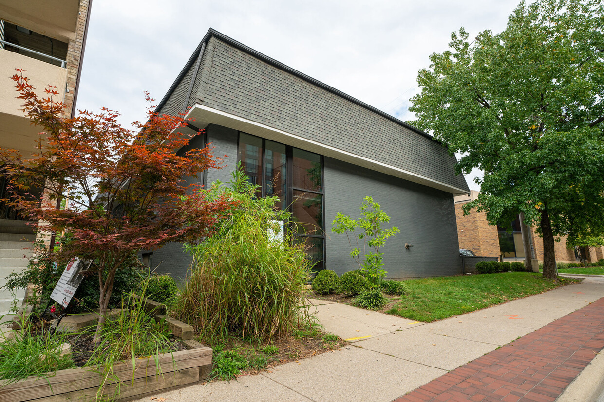
Townhomes at Weston
4312 Westport Rd,
Columbus, OH 43228
$1,199 - $1,499
2-3 Beds

Bedrooms
Studio bd
Bathrooms
1 ba
Square Feet
400 sq ft
Great location available Fall 2023! Studio apartments conveniently located on Lane Avenue in the University District, just across the street from the Business School at The Ohio State University! Key Features Include: - Renovated! - Updated flooring - Easy access to OSU, restaurants, and shops on High Street - Walking distance to Ohio Stadium - Air conditioning - Ceiling Fan - Microwave - Garbage disposal - On site laundry - Off street parking available Professionally managed by Peak Property Group. We are proud to offer friendly professional service, 24/7 maintenance, online rent payment and online resident portals for easy communications, and of course we are pet friendly. Please call us to set up a showing today!
Great location available Fall 2023! Studio apartments conveniently located on Lane Avenue in the University District, just across the street from the Business School at The Ohio State University! Key Features Include: - Renovated! - Updated flooring - Easy access to OSU, restaurants, and shops on High Street - Walking distance to Ohio Stadium - Air conditioning - Ceiling Fan - Microwave - Garbage disposal - On site laundry - Off street parking available Professionally managed by Peak Property Group. We are proud to offer friendly professional service, 24/7 maintenance, online rent payment and online resident portals for easy communications, and of course we are pet friendly. Please call us to set up a showing today!
80 West Lane is an apartment community located in Franklin County and the 43201 ZIP Code. This area is served by the Columbus City School District attendance zone.
Northwood Park is located in the University District of Columbus, Ohio, just to the west of U.S. 23 and Interstate 71 and a few miles north of Interstate 670. Only about 3 miles north from Downtown Columbus, Northwood Park offers an easy commute to work and close access to Ohio State campus activities and attractions.
Northwood Park, also known as the Northwood and Oakland Avenue Area, was one of the first subdivisions developed in the first half of the century on the then "outskirts" of the city of Columbus. With a strong sense of community, large homes, beautiful gardens and brick alleys, the neighborhood rounds out Ohio State off-campus living with a family friendly environment close to football games and other university fun. Whether you take this neighborhood as a permanent resident or renter, you'll find a great local community with arts, events and activities for everyone.
Learn more about living in Northwood ParkCompare neighborhood and city base rent averages by bedroom.
| Northwood Park | Columbus, OH | |
|---|---|---|
| Studio | $989 | $1,024 |
| 1 Bedroom | $1,187 | $1,163 |
| 2 Bedrooms | $1,490 | $1,364 |
| 3 Bedrooms | $1,974 | $1,608 |
| Colleges & Universities | Distance | ||
|---|---|---|---|
| Colleges & Universities | Distance | ||
| Drive: | 3 min | 1.1 mi | |
| Drive: | 8 min | 3.8 mi | |
| Drive: | 9 min | 4.0 mi | |
| Drive: | 9 min | 4.1 mi |


Scores provided by
Traffic
BusyAirport
CalmBusinesses
ActiveScores provided by
HowLoud What is a Sound Score Rating? A Sound Score Rating aggregates noise caused by vehicle traffic, airplane traffic and local sources. How It WorksWhat Are Walk Score®, Transit Score®, and Bike Score® Ratings?
Walk Score® measures the walkability of any address. Transit Score® measures access to public transit. Bike Score® measures the bikeability of any address.
What is a Sound Score Rating?
A Sound Score Rating aggregates noise caused by vehicle traffic, airplane traffic and local sources.
80 W Lane Ave
Columbus, OH 43201


