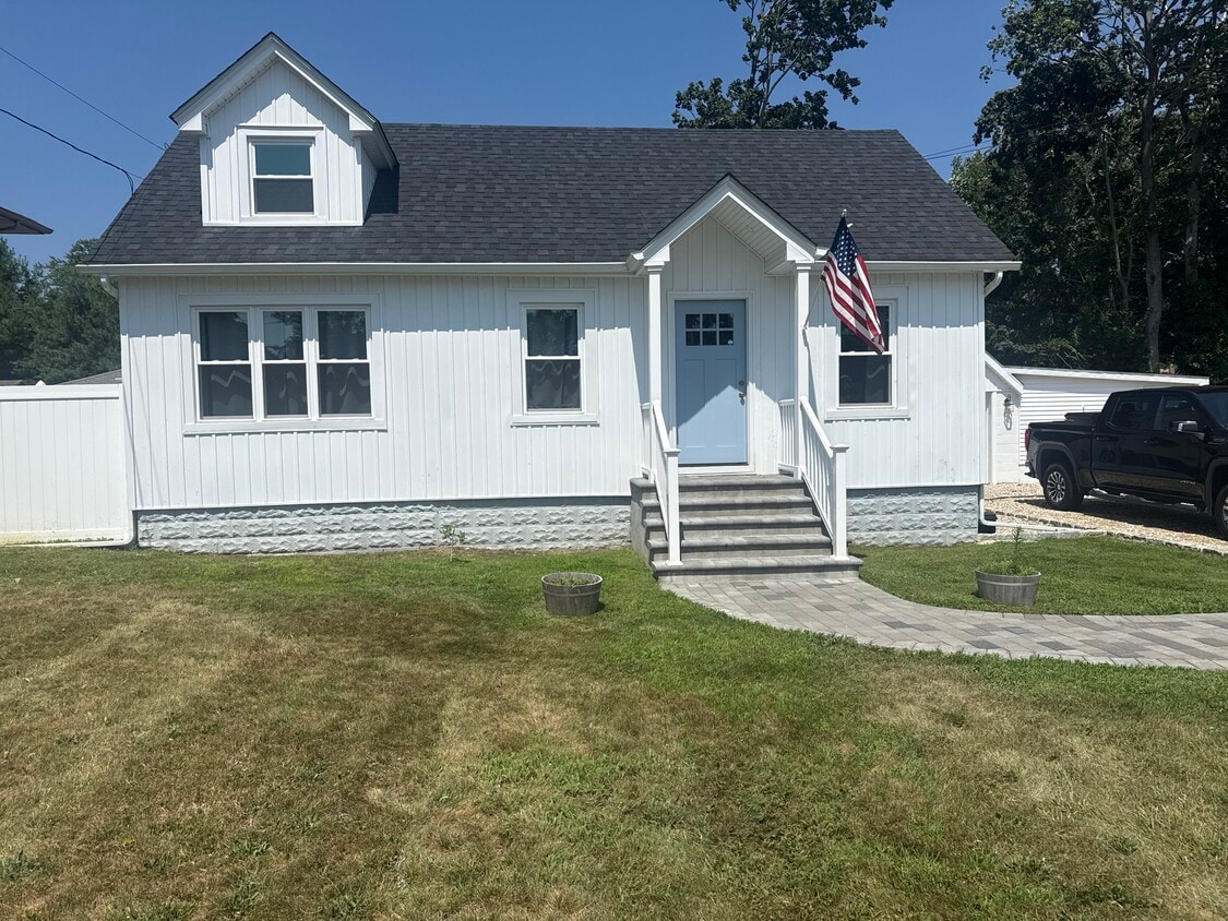
80 S Dunton Ave
East Patchogue, NY 11772
-
Bedrooms
2
-
Bathrooms
1
-
Square Feet
1,200 sq ft
-
Available
Available Sep 1

Contact
- Contact
Situated about 60 miles east of New York City, East Patchogue is a vibrant community on the South Shore of Long Island. East Patchogue’s bustling Main Street affords residents a wide variety of options for shopping, dining, and nightlife.
Bordering the Patchogue Bay, East Patchogue is convenient to a host of recreational opportunities at Shorefront Park, Southaven County Park, Smith Point Park, and Wertheim National Wildlife Refuge. Getting around from East Patchogue is a breeze with quick access to the Sunrise Highway, Long Island Expressway, and the Long Island Rail Road’s Patchogue Station.
Learn more about living in East Patchogue| Colleges & Universities | Distance | ||
|---|---|---|---|
| Colleges & Universities | Distance | ||
| Drive: | 10 min | 4.9 mi | |
| Drive: | 20 min | 10.6 mi | |
| Drive: | 23 min | 14.4 mi | |
| Drive: | 29 min | 17.4 mi |
Scores provided by
 What do Walkability, Transit, Drivability, and Bikeability mean?
Walkability measures the walking distance to day-to-day needs.
Transit measures access to public transportation.
Drivability measures congestion, parking availability, and access to major roads.
Bikeability measures the suitability for cycling.
How It Works
What do Walkability, Transit, Drivability, and Bikeability mean?
Walkability measures the walking distance to day-to-day needs.
Transit measures access to public transportation.
Drivability measures congestion, parking availability, and access to major roads.
Bikeability measures the suitability for cycling.
How It Works
Traffic
-Airport
-Businesses
-Scores provided by
HowLoud What is a Sound Score Rating? A Sound Score Rating aggregates noise caused by vehicle traffic, airplane traffic and local sources. How It Works80 S Dunton Ave Photos
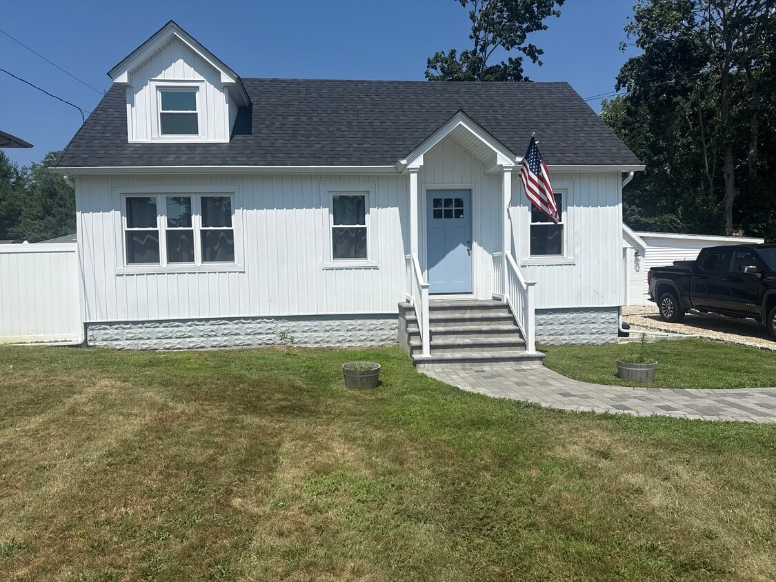
80 S Dunton Ave
East Patchogue, NY 11772