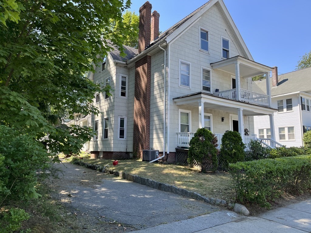
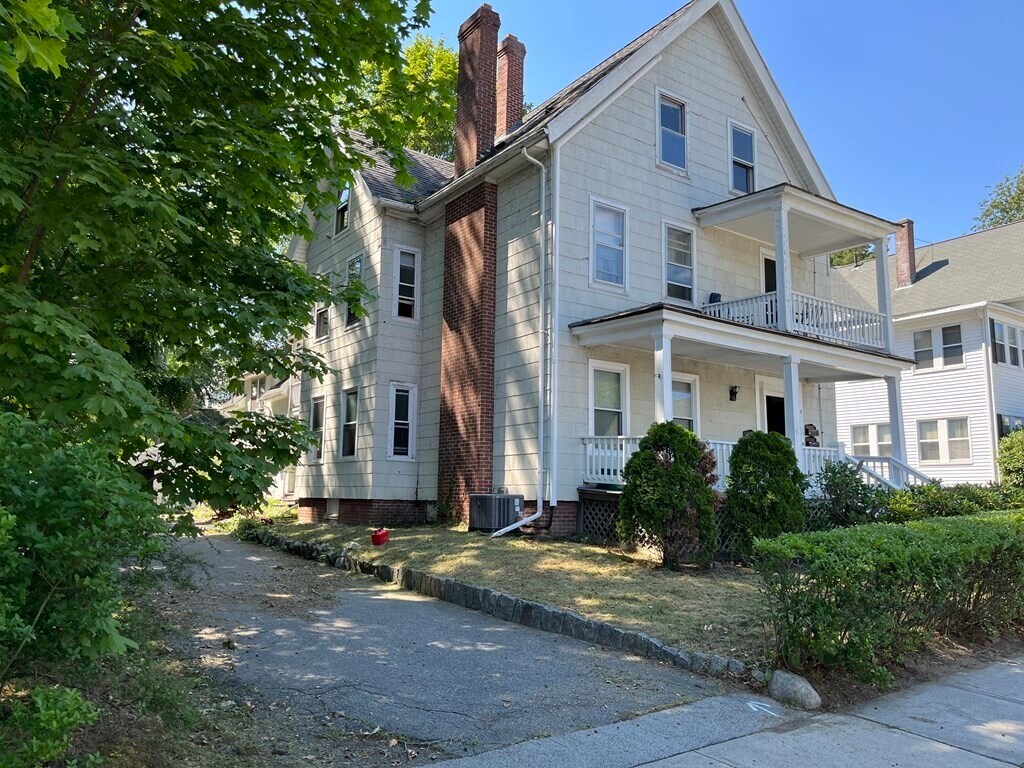
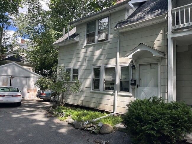
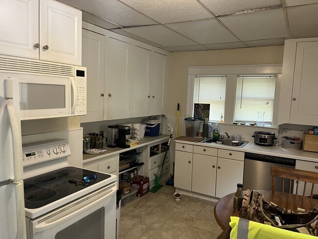
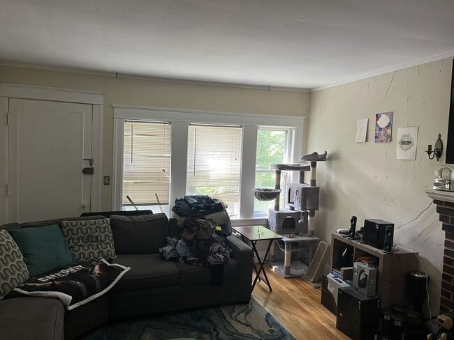
8 Lee St
Worcester, MA 01602
Check Back Soon for Upcoming Availability
| Beds | Baths | Average SF |
|---|---|---|
| 2 Bedrooms 2 Bedrooms 2 Br | 1 Bath 1 Bath 1 Ba | 800 SF |
Fees and Policies
The fees listed below are community-provided and may exclude utilities or add-ons. All payments are made directly to the property and are non-refundable unless otherwise specified.
- Dogs Allowed
-
Fees not specified
- Cats Allowed
-
Fees not specified
About This Property
Attached two bedroom single family In top location First floor has kitchen living room. Second floor two bedrooms and a bath Laundry in basement plenty of parking . Available 8/20/23
8 Lee St is a townhome located in Worcester County and the 01602 ZIP Code. This area is served by the Worcester School District attendance zone.
Located just three miles from Downtown Worcester, Salisbury Street is a quaint community lined with residential streets. Apartments, houses, and condos for rent in the neighborhood range from affordable to mid-range. Towering trees, paved sidewalks, and verdant lawns define this suburb. Good public and private schools reside within the neighborhood. Worcester Polytechnic Institute’s campus sits on the edge of town, making Salisbury Street a great place for families, students, faculty, and staff to call home. Worcester Art Museum, Elm Park, Becker College, and Newton Hill are just a few of the city’s attractions nearby. Charming local restaurants in historic storefronts sit within walking distance of Salisbury Street along Highland Street.
Learn more about living in Salisbury StreetBelow are rent ranges for similar nearby apartments
| Colleges & Universities | Distance | ||
|---|---|---|---|
| Colleges & Universities | Distance | ||
| Walk: | 9 min | 0.5 mi | |
| Drive: | 3 min | 1.4 mi | |
| Drive: | 2 min | 1.5 mi | |
| Drive: | 5 min | 1.9 mi |
The GreatSchools Rating helps parents compare schools within a state based on a variety of school quality indicators and provides a helpful picture of how effectively each school serves all of its students. Ratings are on a scale of 1 (below average) to 10 (above average) and can include test scores, college readiness, academic progress, advanced courses, equity, discipline and attendance data. We also advise parents to visit schools, consider other information on school performance and programs, and consider family needs as part of the school selection process.
View GreatSchools Rating Methodology
Data provided by GreatSchools.org © 2026. All rights reserved.
You May Also Like
Similar Rentals Nearby
-
4 Beds$2,200+Total Monthly Price12 Month LeaseTotal Monthly Price NewPrices include all required monthly fees.488 Park Ave
-
2 Beds$2,000Total Monthly Price12 Month LeaseTotal Monthly Price NewPrices include all required monthly fees.85 Seymour St
-
2 Beds$1,800Total Monthly Price12 Month LeaseTotal Monthly Price NewPrices include all required monthly fees.11 Mars St
-
2 Beds, 3 Baths, 1,600 sq ft$3,250Total Monthly Price12 Month LeaseTotal Monthly Price NewPrices include all required monthly fees.15 Samuel Dr
-
3 Beds, 2.5 Baths, 1,800 sq ft$3,650Total Monthly Price12 Month LeaseTotal Monthly Price NewPrices include all required monthly fees.150 Worcester St
-
3 Beds, 1 Bath, 1,025 sq ft$1,800Total Monthly Price12 Month LeaseTotal Monthly Price NewPrices include all required monthly fees.41 Valley St
-
2 Beds$1,775Total Monthly Price12 Month LeaseTotal Monthly Price NewPrices include all required monthly fees.40 Depot St
-
3 Beds, 2.5 Baths, 1,232 sq ft$3,100Total Monthly Price12 Month LeaseTotal Monthly Price NewPrices include all required monthly fees.2008 Windsor Dr
-
2 Beds$3,168+Total Monthly PriceTotal Monthly Price NewPrices include base rent and required monthly fees. Variable costs based on usage may apply.
-
What Are Walk Score®, Transit Score®, and Bike Score® Ratings?
Walk Score® measures the walkability of any address. Transit Score® measures access to public transit. Bike Score® measures the bikeability of any address.
What is a Sound Score Rating?
A Sound Score Rating aggregates noise caused by vehicle traffic, airplane traffic and local sources.