

$2,350
/ Month
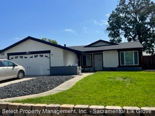
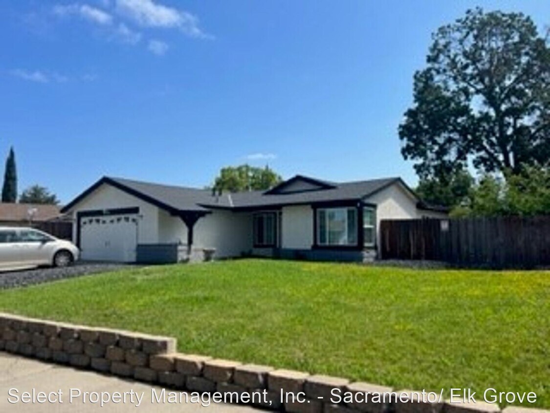
7901 Farnell Way
Sacramento, CA 95823
2 Weeks Ago
|
Edit
Favorites
7901 Farnell Way

Favorites
Check Back Soon for Upcoming Availability
| Beds | Baths | Average SF |
|---|---|---|
| 4 Bedrooms 4 Bedrooms 4 Br | 2 Baths 2 Baths 2 Ba | 1,450 SF |
Fees and Policies
The fees below are based on community-supplied data and may exclude additional fees and utilities.
About This Property
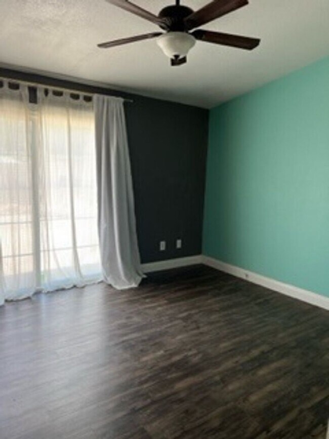
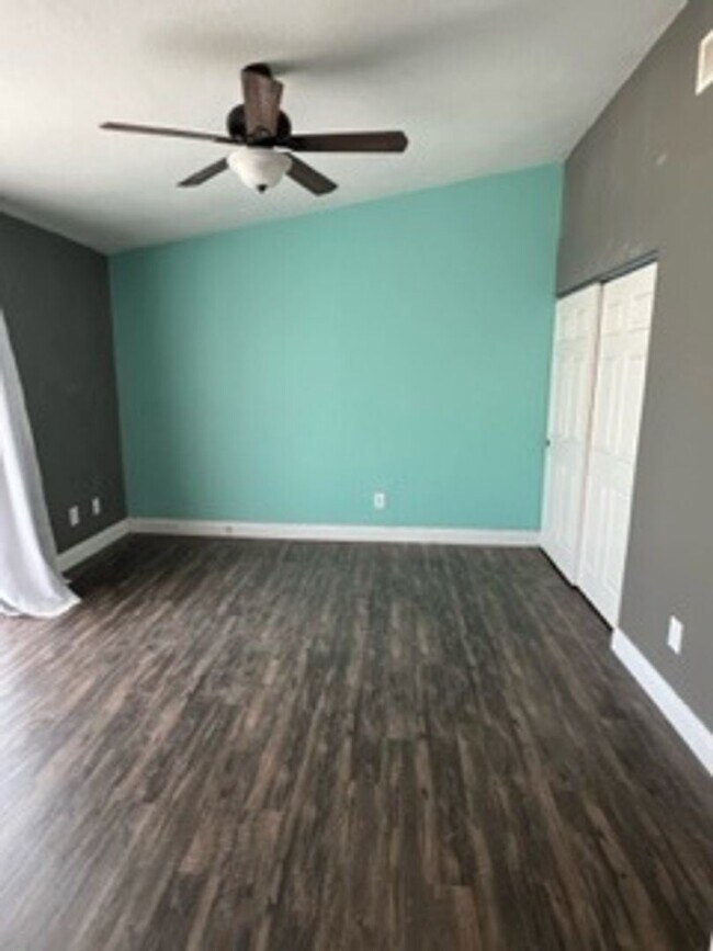
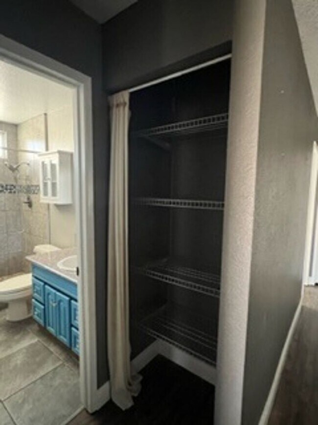
- Coming Soon - Avail 9/1/2023. This 4 bd, 2 ba well kept home has a 2 car gar. Large yard that includes a landscaper. $2350 Rent with a $2400 deposit. For additional information or to apply visit our website or call our office at . Turnover maintenance being completed and can be shown now. No Pets Allowed (RLNE8171552) Other Amenities: Other (none paid by owner). Pet policies: No Dogs Allowed, No Cats Allowed.
7901 Farnell Way is a house located in Sacramento County and the 95823 ZIP Code. This area is served by the Elk Grove Unified attendance zone.
Unique Features
- No Dogs Allowed, No Cats Allowed, Amenities - none paid by owner
Location
Get Directions
Parkway is a suburban neighborhood about ten miles south of Downtown Sacramento. With access to several good schools, parks, shopping plazas, and restaurants, Parkway provides residents with plenty of amenities. Similar to many California neighborhoods, Parkway has mid-range to upscale rental options but there are some more affordable apartments and houses available for rent. Residents also enjoy access to Interstate 5 and Highway 99, allowing for easier trips to some of the city’s most popular destinations. Sacramento City College, California State University, and William Land Regional Park (a sprawling park with lakes, a zoo, and two amusement parks) are all convenient to Parkway.
Learn more about living in ParkwayBelow are rent ranges for similar nearby apartments
Amenities
- No Dogs Allowed, No Cats Allowed, Amenities - none paid by owner
Education
| Colleges & Universities | Distance | ||
|---|---|---|---|
| Colleges & Universities | Distance | ||
| Drive: | 8 min | 3.1 mi | |
| Drive: | 12 min | 6.3 mi | |
| Drive: | 18 min | 9.0 mi | |
| Drive: | 27 min | 18.6 mi |
7901 Farnell Way is within 8 minutes or 3.1 miles from Cosumnes River College. It is also near Sacramento City College and Sacramento State.
Schools


Public Elementary School
Grades K-3
372 Students
Nearby
Public Elementary School
Grades K-6
712 Students
Attendance Zone
Public Middle School
Grades 7-8
891 Students
Attendance Zone
Public High School
Grades 9-12
1,612 Students
Attendance Zone
Private Elementary & Middle School
Grades PK-8
Nearby
Private Elementary & Middle School
Grades PK-8
165 Students
Nearby
Private Elementary School
Grades K-4
Nearby
Private High School
Grades 9-12
Nearby
School data provided by
 The GreatSchools Rating helps parents compare schools within a state based on a variety of school quality indicators and provides a helpful picture of how effectively each school serves all of its students. Ratings are on a scale of 1 (below average) to 10 (above average) and can include test scores, college readiness, academic progress, advanced courses, equity, discipline and attendance data. We also advise parents to visit schools, consider other information on school performance and programs, and consider family needs as part of the school selection process.
View GreatSchools Rating Methodology
Data provided by GreatSchools.org © 2026. All rights reserved.
View GreatSchools Rating Methodology
Data provided by GreatSchools.org © 2026. All rights reserved.
Transportation options available in Sacramento include Franklin Station (Wb), located 1.3 miles from 7901 Farnell Way. 7901 Farnell Way is near Sacramento International, located 21.8 miles or 31 minutes away.
| Transit / Subway | Distance | ||
|---|---|---|---|
| Transit / Subway | Distance | ||
| Drive: | 3 min | 1.3 mi | |
| Drive: | 4 min | 1.3 mi | |
|
|
Drive: | 4 min | 1.4 mi |
| Drive: | 8 min | 2.5 mi | |
| Drive: | 9 min | 2.6 mi |
| Commuter Rail | Distance | ||
|---|---|---|---|
| Commuter Rail | Distance | ||
| Drive: | 18 min | 11.4 mi | |
|
|
Drive: | 32 min | 23.5 mi |
|
|
Drive: | 37 min | 27.2 mi |
|
|
Drive: | 37 min | 27.8 mi |
|
|
Drive: | 38 min | 29.4 mi |
| Airports | Distance | ||
|---|---|---|---|
| Airports | Distance | ||
|
Sacramento International
|
Drive: | 31 min | 21.8 mi |
Time and distance from 7901 Farnell Way.
| Shopping Centers | Distance | ||
|---|---|---|---|
| Shopping Centers | Distance | ||
| Walk: | 10 min | 0.5 mi | |
| Walk: | 11 min | 0.6 mi | |
| Walk: | 14 min | 0.8 mi |
7901 Farnell Way has 3 shopping centers within 0.8 mile, which is about a 14-minute walk. The miles and minutes will be for the farthest away property.
| Parks and Recreation | Distance | ||
|---|---|---|---|
| Parks and Recreation | Distance | ||
|
Sacramento Zoo
|
Drive: | 14 min | 8.5 mi |
|
Paradise Beach County Recreation Area
|
Drive: | 17 min | 9.0 mi |
|
Sutter's Fort State Historical Monument
|
Drive: | 13 min | 9.1 mi |
|
Stone Lakes National Wildlife Refuge
|
Drive: | 18 min | 9.4 mi |
|
California Native Plant Demonstration Garden
|
Drive: | 16 min | 9.5 mi |
7901 Farnell Way has 5 parks within 9.5 miles, including Sacramento Zoo, Sutter's Fort State Historical Monument, and California Native Plant Demonstration Garden.
| Hospitals | Distance | ||
|---|---|---|---|
| Hospitals | Distance | ||
| Drive: | 4 min | 2.1 mi | |
| Drive: | 5 min | 2.7 mi | |
| Drive: | 6 min | 2.9 mi |
7901 Farnell Way has 3 hospitals within 2.9 miles, the nearest is Kaiser Foundation Hospital South Sacramento which is 2.1 miles away and a 4 minute drive.
| Military Bases | Distance | ||
|---|---|---|---|
| Military Bases | Distance | ||
| Drive: | 35 min | 19.5 mi |
7901 Farnell Way is 19.5 miles and a 35 minute drive from McClellan Air Force Base.
You May Also Like
Similar Rentals Nearby


What Are Walk Score®, Transit Score®, and Bike Score® Ratings?
Walk Score® measures the walkability of any address. Transit Score® measures access to public transit. Bike Score® measures the bikeability of any address.
What is a Sound Score Rating?
A Sound Score Rating aggregates noise caused by vehicle traffic, airplane traffic and local sources
7901 Farnell Way
Sacramento, CA 95823