
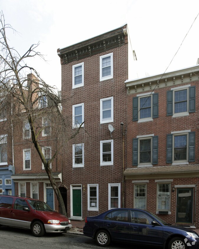
1213 Walnut
1213 Walnut St,
Philadelphia, PA 19107
$2,780 - $5,739
Studio - 2 Beds
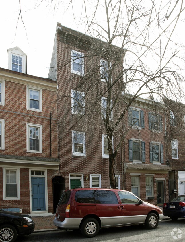
At 749 S 2nd St in Philadelphia, experience fine living. The 19147 location is an ideal place to live. The professional leasing staff is waiting to show you all that this community has to offer. Come for a visit to check out the current floorplan options. Come be a part of 749 S 2nd St. Contact or drop by to talk about leasing your next apartment.
749 S 2nd St is an apartment community located in Philadelphia County and the 19147 ZIP Code. This area is served by the The School District of Philadelphia attendance zone.
Colonial Philadelphia meets modern living in Queen Village-Pennsport. You’ll find historic homes mingling with apartments and modern condos and historic sites next to brand new businesses. While 200-year-old cobblestones line some of the streets, the nightlife of South Street and the major retailers on Columbus Boulevard make for easy 21st-century living. Weekend warriors and kayakers use Penn's Landing along the Delaware River as their playground, where they can enjoy scenic views along the water. Visit Spruce Street Harbor Park in the summer for hammocks and beer gardens and in the winter for ice skating and roasting marshmallows with the kids.
Center City is easy to get to via Market Street or by many buses that come through the area. However, like most of Philadelphia, this area is very walkable. Car owners like the fact that Interstate 95 and other highways are nearby for a quick reverse commute or for a weekend "down the shore.
Learn more about living in Queen Village-PennsportCompare neighborhood and city base rent averages by bedroom.
| Queen Village-Pennsport | Philadelphia, PA | |
|---|---|---|
| Studio | $1,412 | $1,408 |
| 1 Bedroom | $1,468 | $1,765 |
| 2 Bedrooms | $1,981 | $2,205 |
| 3 Bedrooms | $2,114 | $2,932 |
| Colleges & Universities | Distance | ||
|---|---|---|---|
| Colleges & Universities | Distance | ||
| Drive: | 5 min | 1.5 mi | |
| Drive: | 6 min | 2.3 mi | |
| Drive: | 7 min | 3.3 mi | |
| Drive: | 8 min | 3.7 mi |


Transportation options available in Philadelphia include 2Nd Street, located 1.1 miles from 749 S 2nd St. 749 S 2nd St is near Philadelphia International, located 10.6 miles or 19 minutes away, and Trenton Mercer, located 34.1 miles or 50 minutes away.
| Transit / Subway | Distance | ||
|---|---|---|---|
| Transit / Subway | Distance | ||
|
|
Drive: | 3 min | 1.1 mi |
|
|
Drive: | 3 min | 1.2 mi |
|
|
Drive: | 4 min | 1.3 mi |
| Drive: | 5 min | 1.7 mi | |
|
|
Drive: | 10 min | 4.4 mi |
| Commuter Rail | Distance | ||
|---|---|---|---|
| Commuter Rail | Distance | ||
|
|
Drive: | 5 min | 1.8 mi |
|
|
Drive: | 6 min | 2.5 mi |
| Drive: | 8 min | 2.9 mi | |
|
|
Drive: | 8 min | 3.1 mi |
|
|
Drive: | 10 min | 3.6 mi |
| Airports | Distance | ||
|---|---|---|---|
| Airports | Distance | ||
|
Philadelphia International
|
Drive: | 19 min | 10.6 mi |
|
Trenton Mercer
|
Drive: | 50 min | 34.1 mi |
Scores provided by
Traffic
-Airport
-Businesses
-Scores provided by
HowLoud What is a Sound Score Rating? A Sound Score Rating aggregates noise caused by vehicle traffic, airplane traffic and local sources. How It WorksTime and distance from 749 S 2nd St.
| Shopping Centers | Distance | ||
|---|---|---|---|
| Shopping Centers | Distance | ||
| Walk: | 12 min | 0.7 mi | |
| Walk: | 14 min | 0.7 mi | |
| Walk: | 15 min | 0.8 mi |
| Parks and Recreation | Distance | ||
|---|---|---|---|
| Parks and Recreation | Distance | ||
|
Gloria Dei Church National Historic Site
|
Walk: | 7 min | 0.4 mi |
|
Thaddeus Kosciuszko National Memorial
|
Walk: | 8 min | 0.5 mi |
|
Great Egg Harbor River
|
Walk: | 14 min | 0.8 mi |
|
Lower Delaware National Wild and Scenic River
|
Walk: | 14 min | 0.8 mi |
|
Independence Seaport Museum
|
Walk: | 14 min | 0.8 mi |
| Hospitals | Distance | ||
|---|---|---|---|
| Hospitals | Distance | ||
| Drive: | 3 min | 1.1 mi | |
| Drive: | 4 min | 1.3 mi | |
| Drive: | 4 min | 1.5 mi |
| Military Bases | Distance | ||
|---|---|---|---|
| Military Bases | Distance | ||
| Drive: | 10 min | 4.9 mi |
What Are Walk Score®, Transit Score®, and Bike Score® Ratings?
Walk Score® measures the walkability of any address. Transit Score® measures access to public transit. Bike Score® measures the bikeability of any address.
What is a Sound Score Rating?
A Sound Score Rating aggregates noise caused by vehicle traffic, airplane traffic and local sources.


