$1,595 / Month
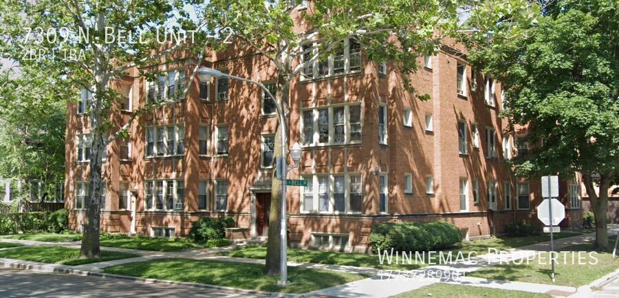
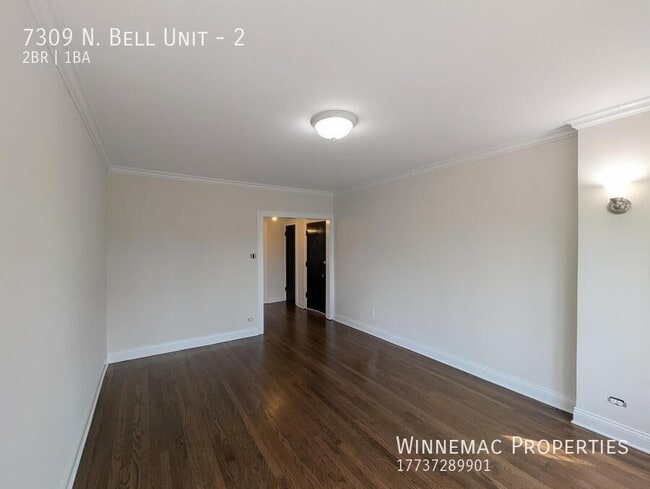
7309 N Bell Ave Unit 2
Chicago, IL 60645
Today
Favorites
224-623-1046
-
Bedrooms
2
-
Bathrooms
1
-
Square Feet
--
-
Available
Available Jun 1
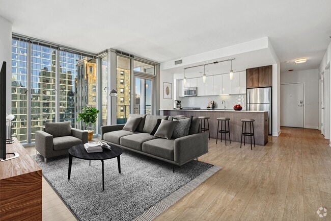
7309 N Bell Ave Unit 2

Favorites
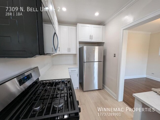
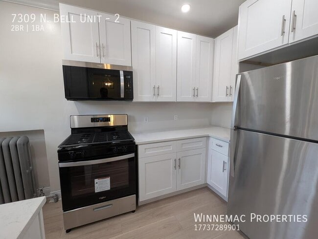
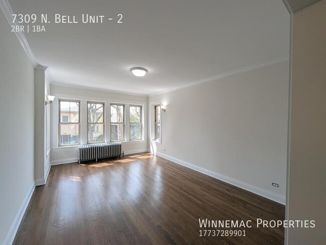
About This Home
Available Jun 1
---- SCHEDULE A SHOWING ONLINE AT: ----
7309 N Bell Ave is an apartment community located in Cook County and the 60645 ZIP Code.
* Price shown is base rent and may not include non-optional fees and utilities.
Price, availability, fees, and any applicable rent special are subject to change without notice.
* Square footage definitions vary. Displayed square footage is approximate.
Contact
- Listed by Drew Conn
- Phone Number
- Contact
Location
Get Directions
West Ridge Park is located on the far north side of Chicago, an upscale community encompassed with tree-lined streets, multicultural establishments, and historic homes.
Many diverse restaurants can be found along West Devon Avenue, which is a couple of blocks south of Robert A. Black Golf Course. Many green spaces make up West Rogers Park, including Mather Park and Indian Boundary Park.
Residents of this lush Chicago community enjoy proximity to Rogers Park Train Station, Loyola Beach, and Lincoln Town Center mall.
Learn more about living in West Rogers Park
Education
| Colleges & Universities | Distance | ||
|---|---|---|---|
| Colleges & Universities | Distance | ||
| Drive: | 6 min | 2.5 mi | |
| Drive: | 8 min | 4.1 mi | |
| Drive: | 9 min | 4.1 mi | |
| Drive: | 8 min | 4.1 mi |
7309 N Bell Ave Unit 2 is within 6 minutes or 2.5 miles from Loyola University, Lakeshore. It is also near Northwestern Univ., Evanston and Northeastern Ill. Univ..
Transportation options available in Chicago include Jarvis Station, located 1.3 miles from 7309 N Bell Ave Unit 2. 7309 N Bell Ave Unit 2 is near Chicago O'Hare International, located 14.2 miles or 25 minutes away, and Chicago Midway International, located 22.5 miles or 34 minutes away.
| Transit / Subway | Distance | ||
|---|---|---|---|
| Transit / Subway | Distance | ||
|
|
Drive: | 3 min | 1.3 mi |
|
|
Drive: | 3 min | 1.3 mi |
|
|
Drive: | 4 min | 1.5 mi |
|
|
Drive: | 3 min | 1.6 mi |
|
|
Drive: | 4 min | 2.1 mi |
| Commuter Rail | Distance | ||
|---|---|---|---|
| Commuter Rail | Distance | ||
|
|
Walk: | 15 min | 0.8 mi |
|
|
Drive: | 4 min | 2.0 mi |
|
|
Drive: | 5 min | 3.0 mi |
|
|
Drive: | 7 min | 4.0 mi |
|
|
Drive: | 9 min | 4.2 mi |
| Airports | Distance | ||
|---|---|---|---|
| Airports | Distance | ||
|
Chicago O'Hare International
|
Drive: | 25 min | 14.2 mi |
|
Chicago Midway International
|
Drive: | 34 min | 22.5 mi |
Time and distance from 7309 N Bell Ave Unit 2.
| Shopping Centers | Distance | ||
|---|---|---|---|
| Shopping Centers | Distance | ||
| Walk: | 5 min | 0.3 mi | |
| Walk: | 10 min | 0.5 mi | |
| Walk: | 10 min | 0.6 mi |
7309 N Bell Ave Unit 2 has 3 shopping centers within 0.6 mile, which is about a 10-minute walk. The miles and minutes will be for the farthest away property.
| Parks and Recreation | Distance | ||
|---|---|---|---|
| Parks and Recreation | Distance | ||
|
Rogers Park
|
Walk: | 16 min | 0.8 mi |
|
Touhy Park
|
Drive: | 2 min | 1.1 mi |
|
Warren Park
|
Drive: | 3 min | 1.2 mi |
|
Pooch Park
|
Drive: | 4 min | 2.1 mi |
|
Channelside Park
|
Drive: | 4 min | 2.1 mi |
7309 N Bell Ave Unit 2 has 5 parks within 2.1 miles, including Rogers Park, Touhy Park, and Warren Park.
| Hospitals | Distance | ||
|---|---|---|---|
| Hospitals | Distance | ||
| Drive: | 2 min | 1.1 mi | |
| Drive: | 7 min | 3.3 mi | |
| Drive: | 6 min | 3.4 mi |
7309 N Bell Ave Unit 2 has 3 hospitals within 3.4 miles, the nearest is Presence Saint Francis Hospital which is 1.1 miles away and a 2 minute drive.
| Military Bases | Distance | ||
|---|---|---|---|
| Military Bases | Distance | ||
| Drive: | 34 min | 18.2 mi |
7309 N Bell Ave Unit 2 is 18.2 miles and a 34 minute drive from US Military Reservation Elk Grove.
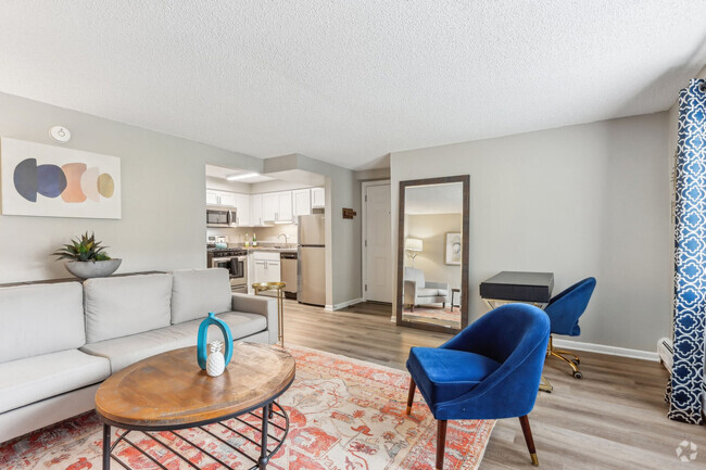
You May Also Like
Similar Rentals Nearby


What Are Walk Score®, Transit Score®, and Bike Score® Ratings?
Walk Score® measures the walkability of any address. Transit Score® measures access to public transit. Bike Score® measures the bikeability of any address.
What is a Sound Score Rating?
A Sound Score Rating aggregates noise caused by vehicle traffic, airplane traffic and local sources

7309 N Bell Ave
Chicago, IL 60645