

$1,850
/ Month
722 54th St
Oakland, CA 94609
2 Weeks Ago
|
Edit
Favorites
722 54th St

Favorites
Check Back Soon for Upcoming Availability
| Beds | Baths | Average SF |
|---|---|---|
| 1 Bedroom 1 Bedroom 1 Br | 1 Bath 1 Bath 1 Ba | 700 SF |
About This Property
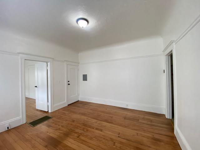
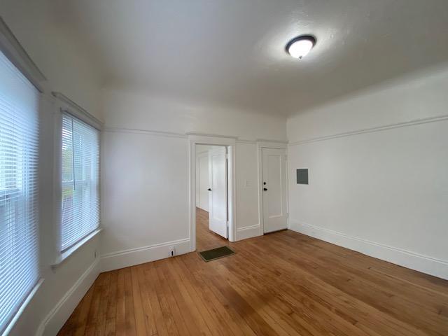
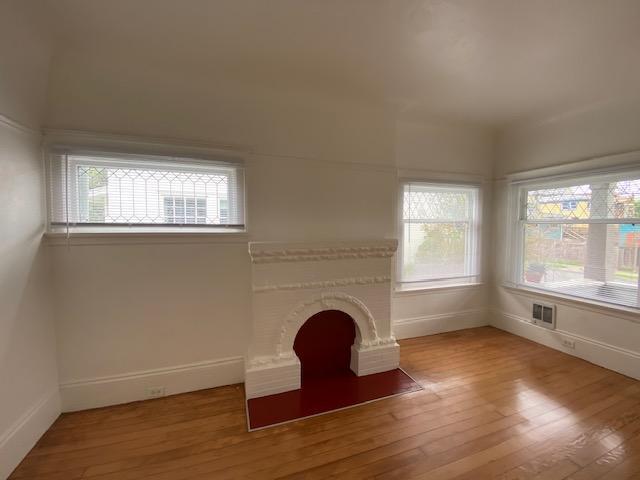
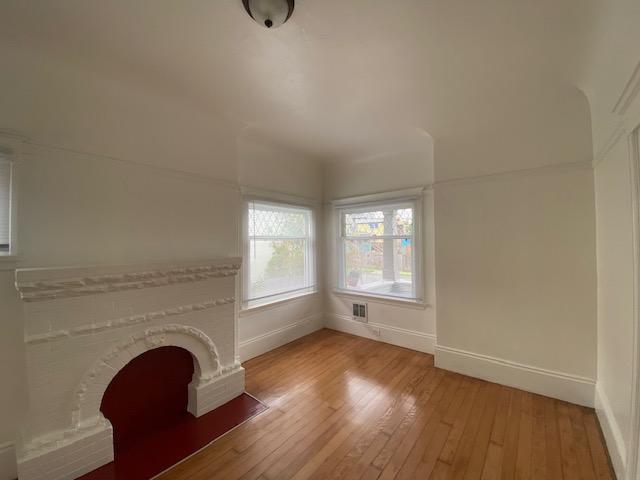
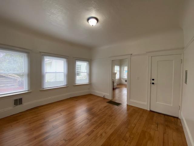
Welcome home to this cozy 1-bedroom, 1-bath unit nestled in a quiet duplex, conveniently situated near the renowned Children's Hospital in Oakland. Enjoy the comfort of your own dedicated front and back yards, perfect for relaxing or entertaining outdoors. With its prime location, this unit offers easy access to nearby amenities, transportation options, and the vibrant energy of the city. Don't miss this opportunity to experience urban living with a touch of tranquility! Schedule your viewing today.
722 54Th St is a house located in Alameda County and the 94609 ZIP Code. This area is served by the Oakland Unified attendance zone.
Location
Get Directions
Santa Fe is a small, residential neighborhood with a lot of heart. Colorful wall murals, churches, and sweet treats abound in Santa Fe. There are many options for satisfying your sweet tooth at local shops in Santa Fe including Marley’s Treats, It’s All Good Bakery, and Lois the Pie Queen. Santa Fe is also home to Temescal Creek Park and the Temescal Community Garden, for more opportunities to engage in outdoor activities.
Convenient to major highways in addition to multiple bus routes and BART stations, getting around from Santa Fe is easy. Travel plans are easily executed from Santa Fe too, with access to both Oakland International and San Francisco International Airports.
Learn more about living in Santa FeBelow are rent ranges for similar nearby apartments
Education
| Colleges & Universities | Distance | ||
|---|---|---|---|
| Colleges & Universities | Distance | ||
| Drive: | 4 min | 1.6 mi | |
| Drive: | 7 min | 2.4 mi | |
| Drive: | 6 min | 3.1 mi | |
| Drive: | 11 min | 3.6 mi |
722 54th St is within 4 minutes or 1.6 miles from Samuel Merritt University. It is also near Berkeley City College and Lincoln University, Oakland.
Schools


Public Elementary School
Grades K-5
270 Students
Nearby
Charter Elementary & Middle School
Grades K-8
523 Students
Attendance Zone
Public Middle School
Grades 6-8
487 Students
Attendance Zone
Public High School
Grades 9-12
1,796 Students
Attendance Zone
Private Elementary School
Grades PK-5
Nearby
Private Elementary, Middle & High School
Grades K-12
Nearby
School data provided by
 The GreatSchools Rating helps parents compare schools within a state based on a variety of school quality indicators and provides a helpful picture of how effectively each school serves all of its students. Ratings are on a scale of 1 (below average) to 10 (above average) and can include test scores, college readiness, academic progress, advanced courses, equity, discipline and attendance data. We also advise parents to visit schools, consider other information on school performance and programs, and consider family needs as part of the school selection process.
View GreatSchools Rating Methodology
Data provided by GreatSchools.org © 2026. All rights reserved.
View GreatSchools Rating Methodology
Data provided by GreatSchools.org © 2026. All rights reserved.
Transportation options available in Oakland include Ashby Station, located 1.2 miles from 722 54th St. 722 54th St is near Metro Oakland International, located 12.2 miles or 19 minutes away, and San Francisco International, located 22.7 miles or 35 minutes away.
| Transit / Subway | Distance | ||
|---|---|---|---|
| Transit / Subway | Distance | ||
|
|
Drive: | 3 min | 1.2 mi |
|
|
Drive: | 4 min | 2.1 mi |
|
|
Drive: | 5 min | 2.1 mi |
|
|
Drive: | 8 min | 2.6 mi |
|
|
Drive: | 5 min | 2.7 mi |
| Commuter Rail | Distance | ||
|---|---|---|---|
| Commuter Rail | Distance | ||
|
|
Drive: | 5 min | 1.9 mi |
|
|
Drive: | 7 min | 3.9 mi |
|
|
Drive: | 9 min | 5.4 mi |
| Drive: | 17 min | 10.2 mi | |
| Drive: | 17 min | 10.3 mi |
| Airports | Distance | ||
|---|---|---|---|
| Airports | Distance | ||
|
Metro Oakland International
|
Drive: | 19 min | 12.2 mi |
|
San Francisco International
|
Drive: | 35 min | 22.7 mi |
Time and distance from 722 54th St.
| Shopping Centers | Distance | ||
|---|---|---|---|
| Shopping Centers | Distance | ||
| Walk: | 7 min | 0.4 mi | |
| Walk: | 8 min | 0.4 mi | |
| Walk: | 13 min | 0.7 mi |
722 54th St has 3 shopping centers within 0.7 mile, which is about a 13-minute walk. The miles and minutes will be for the farthest away property.
| Parks and Recreation | Distance | ||
|---|---|---|---|
| Parks and Recreation | Distance | ||
|
Willard Park
|
Drive: | 6 min | 2.0 mi |
|
Temescal Regional Park
|
Drive: | 4 min | 2.1 mi |
|
People's Park
|
Drive: | 7 min | 2.3 mi |
|
Morcom Rose Garden
|
Drive: | 6 min | 2.5 mi |
|
San Francisco Bay Trail (at Emeryville)
|
Drive: | 6 min | 2.7 mi |
722 54th St has 5 parks within 2.7 miles, including Willard Park, Temescal Regional Park, and Morcom Rose Garden.
| Hospitals | Distance | ||
|---|---|---|---|
| Hospitals | Distance | ||
| Walk: | 4 min | 0.2 mi | |
| Drive: | 4 min | 1.6 mi | |
| Drive: | 5 min | 1.6 mi |
722 54th St has 3 hospitals within 1.6 miles, the nearest is Children's Hospital & Research Center Oakland which is 0.2 mile away and a 4 minute walk.
| Military Bases | Distance | ||
|---|---|---|---|
| Military Bases | Distance | ||
| Drive: | 14 min | 5.2 mi | |
| Drive: | 15 min | 6.6 mi |
722 54th St is 5.2 miles from Oakland Army Base, and is convenient to other military bases, including Alameda/US Naval Air Station Alameda.
You May Also Like
Similar Rentals Nearby


What Are Walk Score®, Transit Score®, and Bike Score® Ratings?
Walk Score® measures the walkability of any address. Transit Score® measures access to public transit. Bike Score® measures the bikeability of any address.
What is a Sound Score Rating?
A Sound Score Rating aggregates noise caused by vehicle traffic, airplane traffic and local sources
722 54th St
Oakland, CA 94609