

6 Beds, 3 Baths, 3,008 sq ft
7080 Highview St
Dearborn Heights, MI 48127
-
Bedrooms
3
-
Bathrooms
2.5
-
Square Feet
1,105 sq ft
-
Available
Available May 27
About This Home
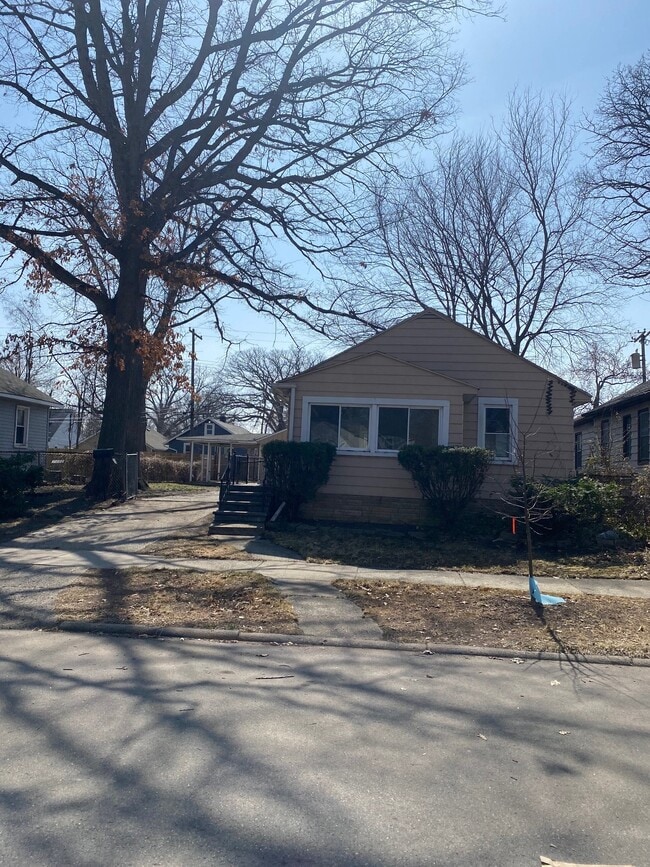
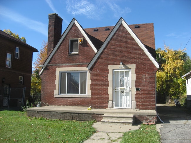
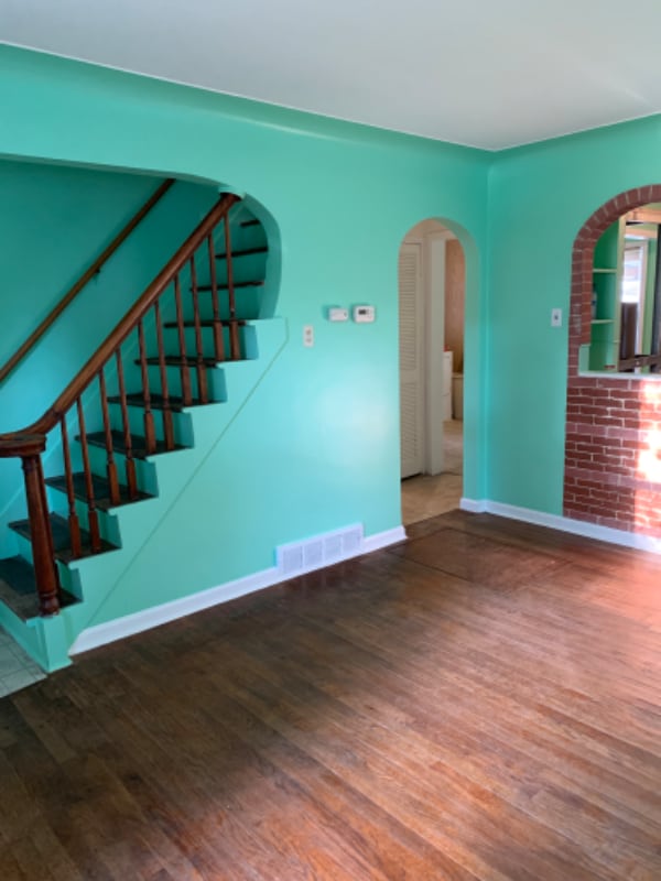
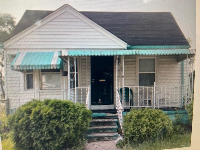
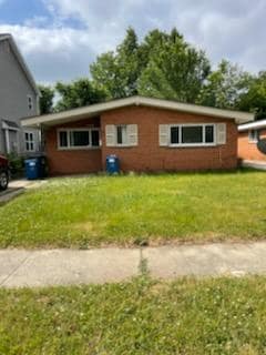
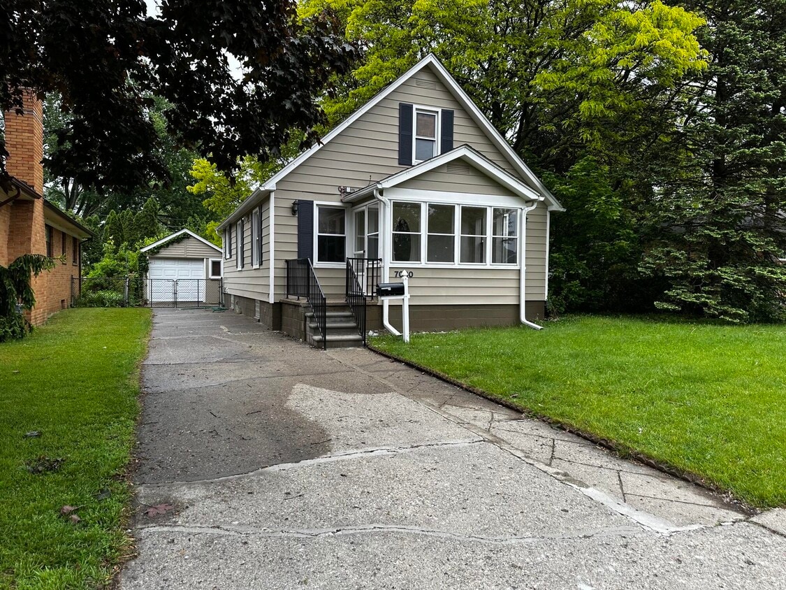
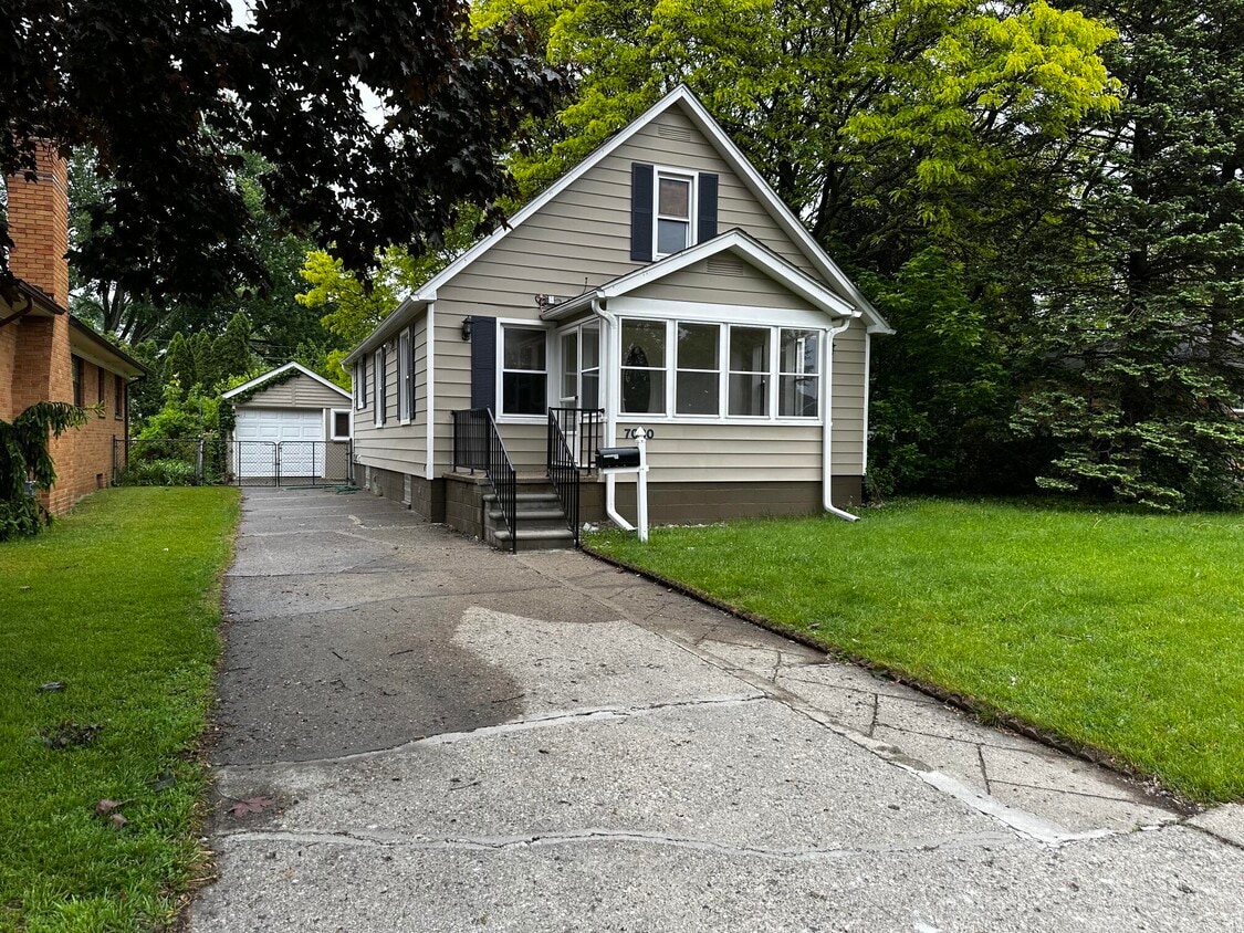
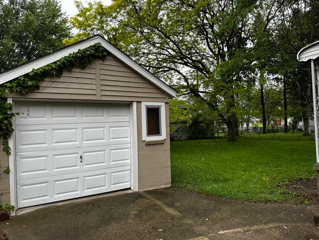
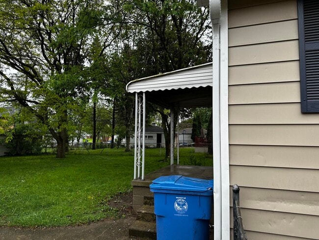
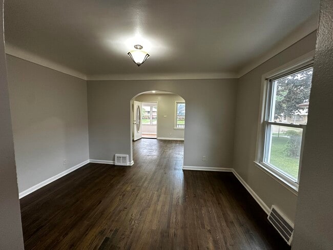
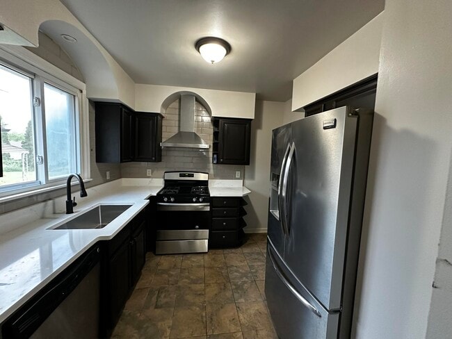
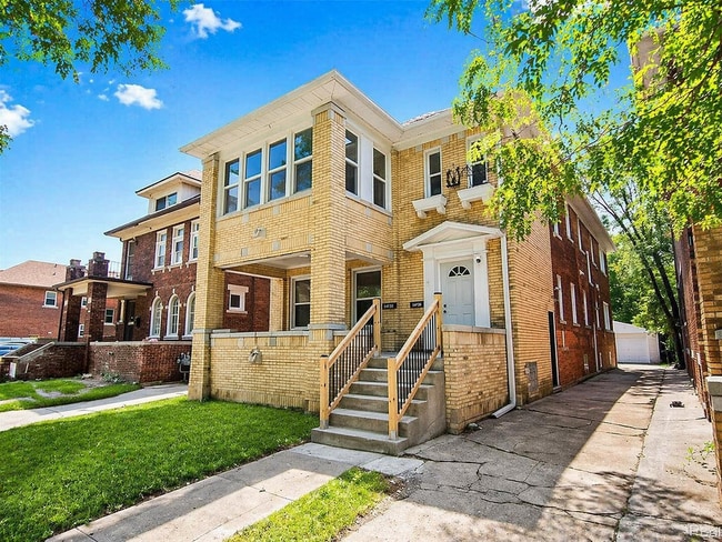
UPDATED 3 BEDROOM,2 1/2 BATH BUNGALOW ON A 66' WIDE LOT. A BATHROOM ON EVERY LEVEL,LARGE CLOSETS,NEW CARPET,KITCHEN WITH GRANITE COUNTERTOPS,CERAMIC FLOORING & BACKSPLASH,STAINLESS STEEL DISHWASHER AND HOOD FAN,HARDWOOD FLOORS,ENCLOSED SUNPORCH,1 CAR GARAGE,FENCED YARD,LARGE OPEN BASEMENT.
7080 Highview St is a house located in Wayne County and the 48127 ZIP Code. This area is served by the Crestwood School District attendance zone.
Fees and Policies
The fees listed below are community-provided and may exclude utilities or add-ons. All payments are made directly to the property and are non-refundable unless otherwise specified.
-
Garage Lot
Property Fee Disclaimer: Based on community-supplied data and independent market research. Subject to change without notice. May exclude fees for mandatory or optional services and usage-based utilities.
Contact
- Listed by Hathal Taie | My Fair Realty
- Phone Number
- Contact
-
Source
Michigan Regional Information Center, LLC
Dearborn Heights is a Wayne County suburb that sits comfortably between two of metro Detroit's busiest interstate corridors, giving residents quick access to the broader region without trading away a quieter pace of daily life. Incorporated in 1960 after a Michigan Supreme Court ruling settled a dispute with neighboring Inkster, the city carries a distinct inner-ring identity rooted in its close ties to Detroit and its position adjacent to Dearborn. Henry Ford College and the University of Michigan–Dearborn are both nearby, lending a steady educational presence that draws students and staff to the area. The city spans roughly 12 square miles and holds a population just under 57,000, with a density that keeps things lively without feeling overcrowded. Neighborhoods tend toward well-kept residential streets lined with single-family homes, though renters will find a solid mix of apartment communities and smaller multi-unit buildings throughout.
Learn more about living in Dearborn Heights| Colleges & Universities | Distance | ||
|---|---|---|---|
| Colleges & Universities | Distance | ||
| Drive: | 10 min | 4.2 mi | |
| Drive: | 9 min | 4.5 mi | |
| Drive: | 18 min | 8.3 mi | |
| Drive: | 18 min | 9.4 mi |
The GreatSchools Rating helps parents compare schools within a state based on a variety of school quality indicators and provides a helpful picture of how effectively each school serves all of its students. Ratings are on a scale of 1 (below average) to 10 (above average) and can include test scores, college readiness, academic progress, advanced courses, equity, discipline and attendance data. We also advise parents to visit schools, consider other information on school performance and programs, and consider family needs as part of the school selection process.
View GreatSchools Rating Methodology
Data provided by GreatSchools.org © 2026. All rights reserved.
You May Also Like
Similar Rentals Nearby
-
$2,500Total Monthly PriceTotal Monthly Price NewPrices include all required monthly fees.12 Month LeaseHouse for Rent
-
$2,400Total Monthly PriceTotal Monthly Price NewPrices include all required monthly fees.12 Month LeaseHouse for Rent
4 Beds, 2.5 Baths, 2,440 sq ft
-
$1,680Total Monthly PriceTotal Monthly Price NewPrices include all required monthly fees.12 Month LeaseHouse for Rent
4 Beds, 1.5 Baths, 1,695 sq ft
-
$1,725Total Monthly PriceTotal Monthly Price NewPrices include all required monthly fees.12 Month LeaseHouse for Rent
3 Beds, 1 Bath, 1,025 sq ft
-
$2,500Total Monthly PriceTotal Monthly Price NewPrices include all required monthly fees.12 Month LeaseHouse for Rent
5 Beds, 3 Baths, 2,752 sq ft
-
-
-
-
-
What Are Walk Score®, Transit Score®, and Bike Score® Ratings?
Walk Score® measures the walkability of any address. Transit Score® measures access to public transit. Bike Score® measures the bikeability of any address.
What is a Sound Score Rating?
A Sound Score Rating aggregates noise caused by vehicle traffic, airplane traffic and local sources.