

$1,550
/ Month
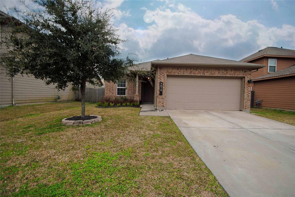
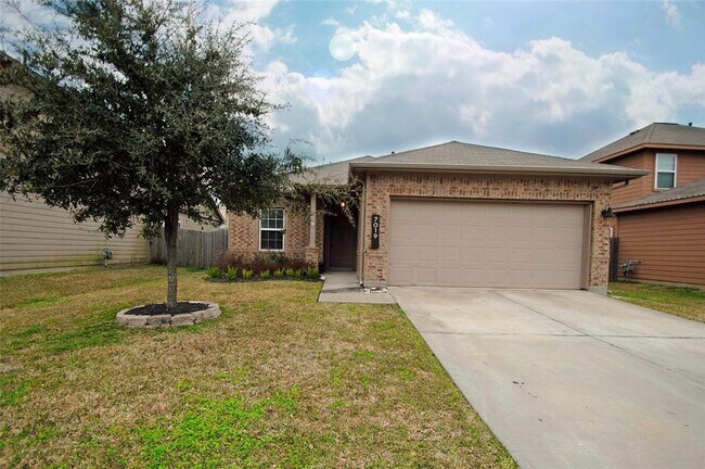
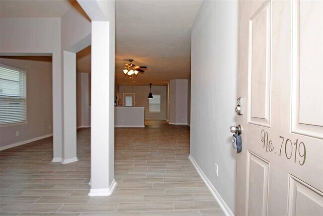
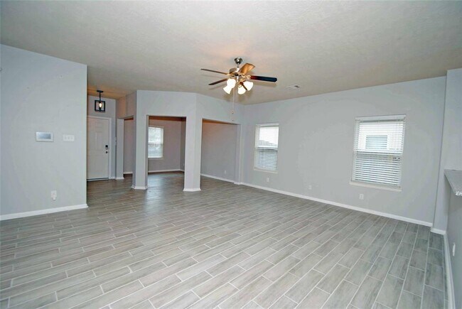
7019 Hazelnut Ln
Baytown, TX 77521
2 Weeks Ago
|
Edit
Favorites
-
Bedrooms
3
-
Bathrooms
2
-
Square Feet
1,689 sq ft
7019 Hazelnut Ln

Favorites
Contact
- Listed by Locayt
Location
Get Directions
Baytown sits on the northern edge of Galveston Bay where the Houston Ship Channel meets the San Jacinto River, giving this city of roughly 87,000 a working waterfront identity that few Texas communities can match. Its economic backbone runs deep through energy and petrochemical industries, anchored by one of ExxonMobil's largest refinery complexes in the world, a presence that has shaped the city since Humble Oil first arrived in 1919. Lee College adds an educational anchor to the mix, bringing a campus-adjacent energy to the Goose Creek corridor. Neighborhoods vary considerably across the city's 37 square miles, from the walkable blocks of the Texas Avenue and Downtown Arts District to the bayside calm of Lakewood and Wooster near the Baytown Nature Center, a 450-acre peninsula sanctuary where three bays converge.
Learn more about living in Baytown
Education
| Colleges & Universities | Distance | ||
|---|---|---|---|
| Colleges & Universities | Distance | ||
| Drive: | 19 min | 12.2 mi | |
| Drive: | 28 min | 17.6 mi | |
| Drive: | 35 min | 21.2 mi | |
| Drive: | 35 min | 23.8 mi |
7019 Hazelnut Ln is within 19 minutes or 12.2 miles from San Jacinto College, North. It is also near San Jacinto College, Central and Univ. of Houston Clear Lake.
Getting Around
 What do Walkability, Transit, Drivability, and Bikeability mean?
Walkability measures the walking distance to day-to-day needs.
Transit measures access to public transportation.
Drivability measures congestion, parking availability, and access to major roads.
Bikeability measures the suitability for cycling.
How It Works
What do Walkability, Transit, Drivability, and Bikeability mean?
Walkability measures the walking distance to day-to-day needs.
Transit measures access to public transportation.
Drivability measures congestion, parking availability, and access to major roads.
Bikeability measures the suitability for cycling.
How It Works
Somewhat Walkable
Walkability
20
/ 100
Exceptionally Drivable
Drivability
90
/ 100
Somewhat Bikeable
Bikeability
30
/ 100
Scores provided by
-
Soundscore™
-
/ 100
Traffic
-Airport
-Businesses
-Scores provided by
HowLoud What is a Sound Score Rating? A Sound Score Rating aggregates noise caused by vehicle traffic, airplane traffic and local sources. How It WorksYou May Also Like
Similar Rentals Nearby
-
-

-
 4 Beds, 2 Baths, 2,182 sq ft$1,750Total Monthly PriceTotal Monthly Price NewPrices include all required monthly fees.1326 Town Cir Unit 1
 -
 3 Beds, 4 Baths, 2,039 sq ft$3,400Total Monthly PriceTotal Monthly Price NewPrices include all required monthly fees.707 Bringhurst St
 -
 4 Beds, 1 Bath$1,650Total Monthly PriceTotal Monthly Price NewPrices include all required monthly fees.16016 Green Manor Dr Unit A
 -
 3 Beds, 1 Bath$1,500Total Monthly PriceTotal Monthly Price NewPrices include all required monthly fees.16016 Green Manor Dr
 -
 3 Beds, 4 Baths, 2,105 sq ft$3,850Total Monthly PriceTotal Monthly Price NewPrices include all required monthly fees.816 Ennis St
 -
 3 Beds, 3 Baths, 1,896 sq ft$2,850Total Monthly PriceTotal Monthly Price NewPrices include all required monthly fees.712 Delano St Unit A
 -
 3 Beds, 3 Baths, 1,580 sq ft$1,900Total Monthly PriceTotal Monthly Price NewPrices include all required monthly fees.3150 S Cleveland St
 -
 3 Beds, 3 Baths, 1,580 sq ft$1,900Total Monthly PriceTotal Monthly Price NewPrices include all required monthly fees.3152 N Cleveland St
What Are Walk Score®, Transit Score®, and Bike Score® Ratings?
Walk Score® measures the walkability of any address. Transit Score® measures access to public transit. Bike Score® measures the bikeability of any address.
What is a Sound Score Rating?
A Sound Score Rating aggregates noise caused by vehicle traffic, airplane traffic and local sources.

7019 Hazelnut Ln
Baytown, TX 77521