

$2,550 Total Monthly Price

6915 McCauley Trail S

,

Minneapolis, MN 55439

Share Listing
Favorites
6915 McCauley Trail S
Share Listing
Favorites

Check Back Soon for Upcoming Availability

Beds Baths Average SF
4 Bedrooms 4 Bedrooms 4 Br 2 Baths 2 Baths 2 Ba 2,200 SF

Fees and Policies

The fees listed below are community-provided and may exclude utilities or add-ons. All payments are made directly to the property and are non-refundable unless otherwise specified.

  • Dogs Allowed
  • Fees not specified
  • Cats Allowed
  • Fees not specified

About This Property

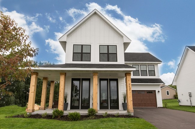
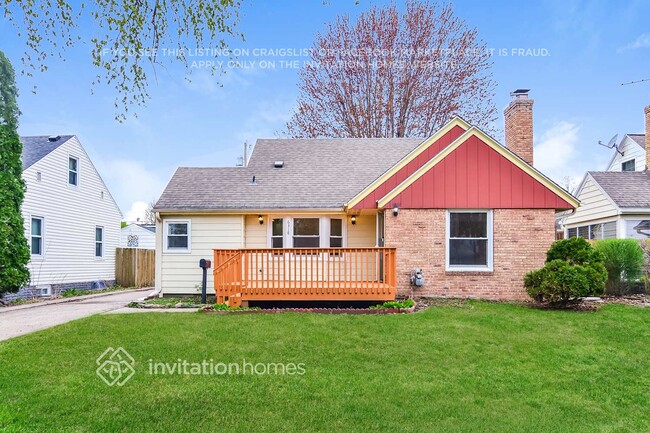
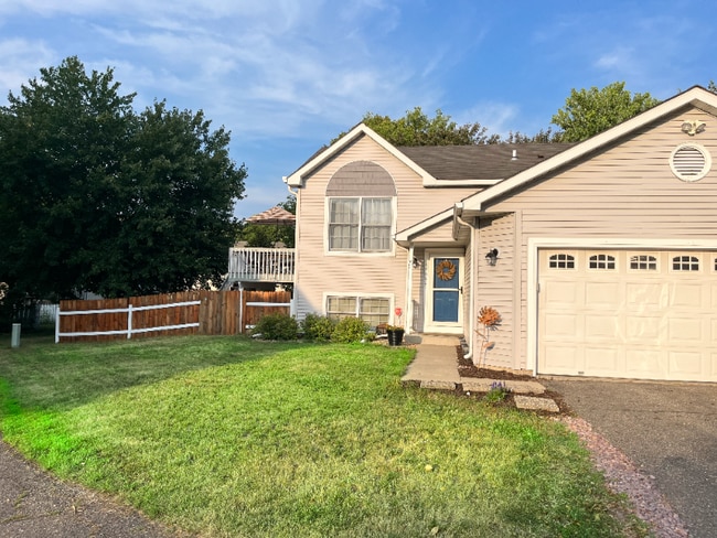
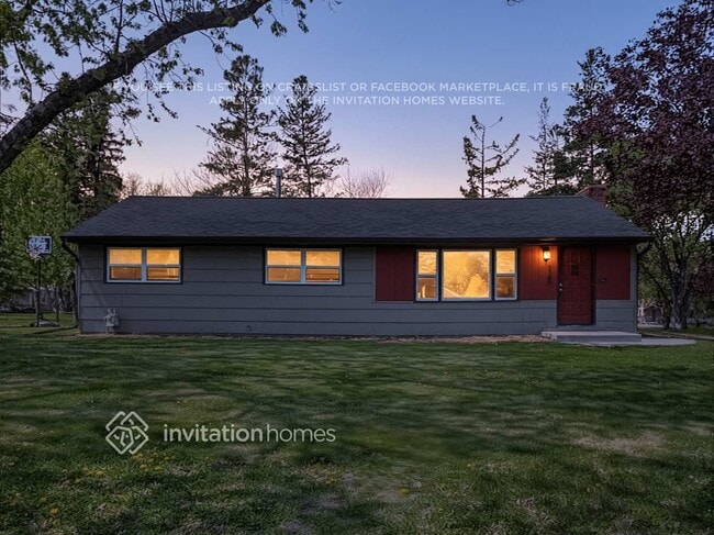
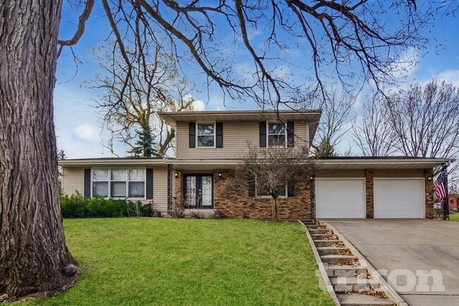
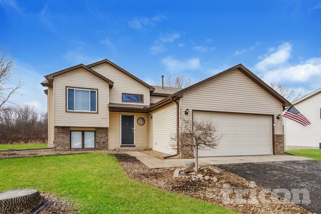
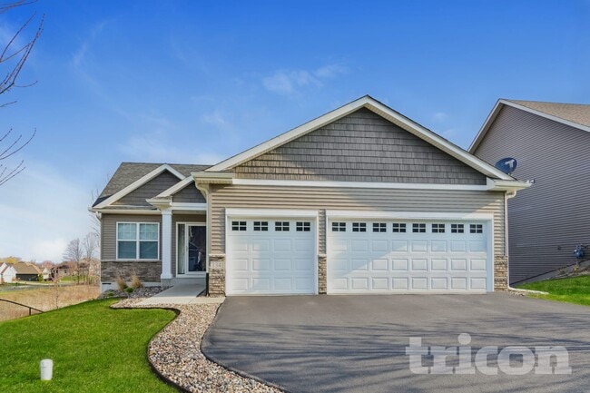
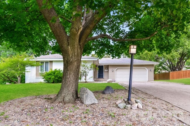
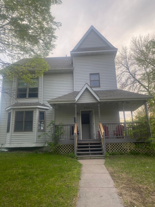
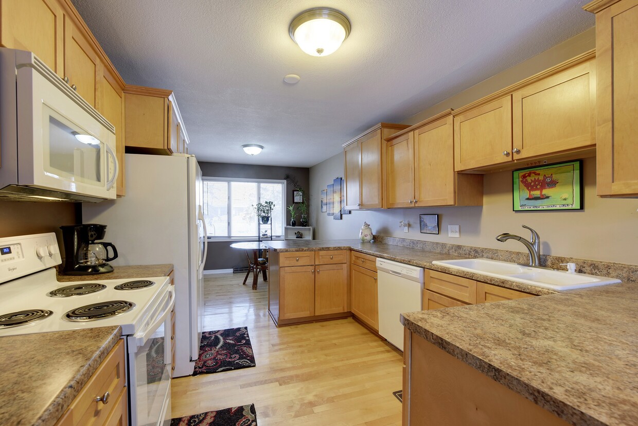
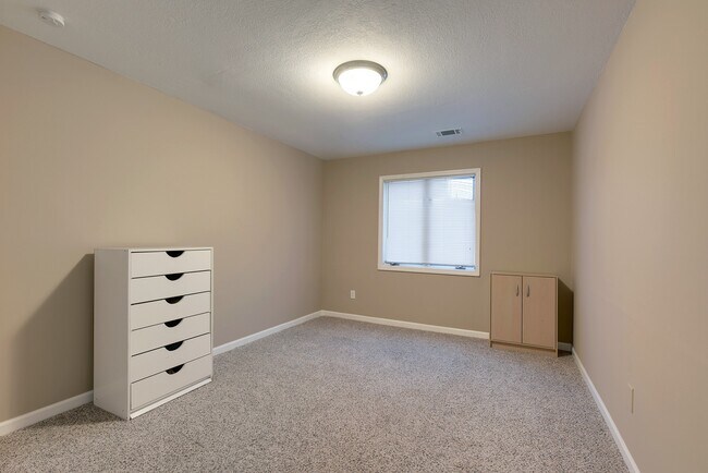
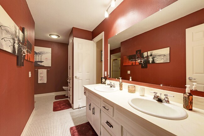
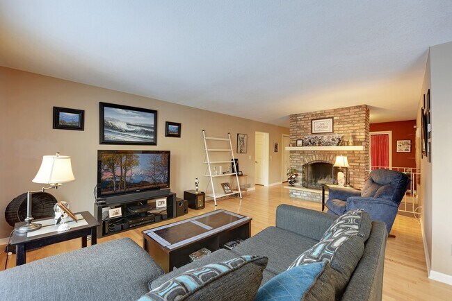
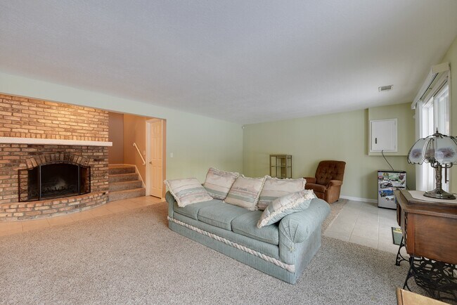
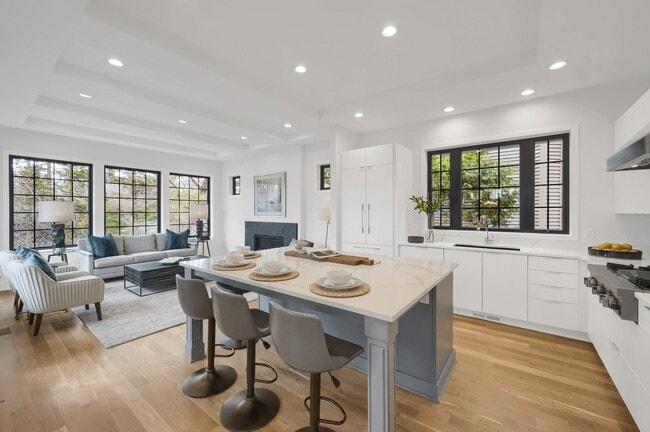
Prime location, spacious, and updated 4 bedrooms, 2 baths, twin home with an attached two car garage. Located in a friendly neighborhood within the excellent Edina school district. Enjoy being close to the Braemar golf course and sports complex with easy interstate access. Stay cozy with two wood burning fireplaces, large backyard, and deck! Pet-friendly. With an open kitchen with granite countertops and maple cabinets, and hardwood floors throughout the entire upstairs this place is ready to be called home. Additional photos coming soon! Available mid-December, or for January 1st or February 1st start date Requires background and credit check Tenant responsible for utilities

6915 McCauley Trail S is a house located in Hennepin County and the 55439 ZIP Code. This area is served by the Edina Public School District attendance zone.

House Features

  • Washer/Dryer
  • Washer/Dryer Hookup
  • Dishwasher
Location
6915 McCauley Trail S, Minneapolis,
MN 55439
Get Directions
| Edit

Under 30 minutes

Commute Time is calculated at rush hour.
City - Minneapolis

Minneapolis lives up to its “City of Lakes” nickname, with thirteen lakes woven into the city, all connected by the Grand Rounds National Scenic Byway. Miles of trails make it easy to bike, run, or relax outdoors, while neighborhoods bring their own distinct personality. Uptown sits near Bde Maka Ska and Lake of the Isles, the North Loop features trendy shops and warehouse-style apartments near Target Field, and the Northeast Arts District blends galleries with lively taprooms. Near the Mississippi River, Dinkytown borders the University of Minnesota campus, while Downtown’s enclosed skyway system helps residents stay connected during the city’s freezing winters.

The Minneapolis rental market offers a range of options, from modern high-rise apartments and loft-style communities in the Mill District to classic townhomes in Longfellow.

Learn more about living in Minneapolis 
Amenities
  • Washer/Dryer
  • Washer/Dryer Hookup
  • Dishwasher
Education
Colleges & Universities Distance
Drive: 13 min 6.7 mi
Drive: 19 min 12.2 mi
Drive: 19 min 12.7 mi
Drive: 20 min 13.7 mi
6915 McCauley Trail S is within 13 minutes or 6.7 miles from Normandale Community College. It is also near Minneapolis College and University of St. Thomas.
Schools
Public Elementary School
Grades PK-5
413 Students
Nearby
Public Elementary School
Grades K-5
612 Students
Attendance Zone
Public Middle School
Grades 6-8
973 Students
Attendance Zone
Public High School
Grades 9-12
2,720 Students
Attendance Zone
Private Elementary, Middle & High School
Grades PK-12
431 Students
Nearby
Private Elementary & Middle School
Grades PK-8
Nearby
Transportation

Transportation options available in Minneapolis include Mall Of America Station, located 9.8 miles from 6915 McCauley Trail S. 6915 McCauley Trail S is near Minneapolis-St Paul International/Wold-Chamberlain, located 11.7 miles or 19 minutes away.

Transit / Subway Distance
Drive: 16 min 9.8 mi
Drive: 15 min 10.1 mi
Drive: 15 min 10.6 mi
John P Humphrey Interlocking
Drive: 16 min 10.7 mi
Drive: 17 min 11.3 mi
Commuter Rail Distance
Drive: 20 min 13.1 mi
Drive: 27 min 19.5 mi
Drive: 28 min 19.6 mi
Drive: 34 min 24.5 mi
Drive: 37 min 26.2 mi
Airports Distance
Airports Distance
Minneapolis-St Paul International/Wold-Chamberlain
Drive: 19 min 11.7 mi

Walkability Near 6915 McCauley Trail S Minneapolis, MN 55439

Getting Around
Somewhat Walkable
Walkability
30 / 100
Minimal Public Transit
Transit
0 / 100
Exceptionally Drivable
Drivability
100 / 100
Fairly Bikeable
Bikeability
40 / 100

Scores provided by

What do Walkability, Transit, Drivability, and Bikeability mean? Walkability measures the walking distance to day-to-day needs. Transit measures access to public transportation. Drivability measures congestion, parking availability, and access to major roads. Bikeability measures the suitability for cycling. How It Works
-
Soundscore
- / 100

Traffic

-

Airport

-

Businesses

-

Scores provided by

HowLoud What is a Sound Score Rating? A Sound Score Rating aggregates noise caused by vehicle traffic, airplane traffic and local sources. How It Works
Points of Interest

Time and distance from 6915 McCauley Trail S.

Shopping Centers Distance
Drive: 5 min 1.9 mi
Drive: 4 min 2.3 mi
Drive: 6 min 2.4 mi
6915 McCauley Trail S has 3 shopping centers within 2.4 miles, which is about a 6-minute drive. The miles and minutes will be for the farthest away property.
Parks and Recreation Distance
Bryant Lake Regional Park
Drive: 6 min 2.5 mi
Richardson Nature Center
Drive: 9 min 3.7 mi
Hyland Hills Ski Area
Drive: 9 min 4.5 mi
Meloday Lake Park
Drive: 9 min 4.6 mi
The Works
Drive: 10 min 4.9 mi
6915 McCauley Trail S has 5 parks within 4.9 miles, including Bryant Lake Regional Park, Richardson Nature Center, and Meloday Lake Park.
Hospitals Distance
Hospitals Distance
Drive: 8 min 5.1 mi
Drive: 10 min 6.1 mi
Drive: 19 min 12.5 mi
6915 McCauley Trail S has 3 hospitals within 12.5 miles, the nearest is Fairview Southdale Hospital which is 5.1 miles away and a 8 minute drive.
Military Bases Distance
Drive: 18 min 12.3 mi
6915 McCauley Trail S is 12.3 miles and a 18 minute drive from Fort Snelling Military Reservation.

You May Also Like

Similar Rentals Nearby