-
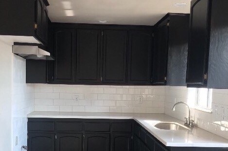
New Counter tops & stainless steeel stoveVent
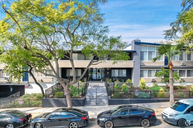
669 S Ferris Ave
669 S Ferris Ave,
East Los Angeles,
CA
90022
2 Weeks Ago
Favorites
669 S Ferris Ave

Favorites
Check Back Soon for Upcoming Availability
Fees and Policies
The fees below are based on community-supplied data and may exclude additional fees and utilities.
- Parking
-
Other--
Details
Lease Options
-
1 Month
Property Information
-
2 units
About 669 S Ferris Ave East Los Angeles, CA 90022
4 units just did a complete remodeled a few months ago. 675 sq.ft. Security gates at entrance of apt. Laundry room for tenants. 2 car parking. Close to major fwys 5fwy, 60fwyy, 710fwy, 10 fwy . Also. close to MTA bus lines 18 & 66. Close to Metro Train. Walking distance to market & Shopping center. Great location.
669 S Ferris Ave is an apartment community located in Los Angeles County and the 90022 ZIP Code.
Apartment Features
- Laundry Facilities
- Gated
Location
Get Directions
Southeast Los Angeles is directly south of the Fashion District and east of the University of Southern California (USC). This large neighborhood is minutes from downtown Los Angeles, Hollywood, and Beverly Hills, with easy access to the 110 Freeway. This great location places you near sunny beaches, nature trails, and a bevy of leading employers. Students can access both USC and California State University Long Beach from their Southeast LA apartment.
This densely populated, diverse neighborhood features everything from food trucks and corner markets to wide sidewalks and residential areas filled with bungalows, ranch, and Spanish Colonial architecture. Southeast LA features palm trees and mountain views, tampered with gritty undertones to give it a cool, funky vibe.
As for outdoor fun, take your pick between Catalina Island, Venus Beach, or the Santa Monica Pier. Nearby, you’ll find more sunny beaches like White Point, Cabrillo, and Long Beach.
Learn more about living in Southeast Los AngelesBelow are rent ranges for similar nearby apartments
Amenities
- Laundry Facilities
- Gated
Education
| Colleges & Universities | Distance | ||
|---|---|---|---|
| Colleges & Universities | Distance | ||
| Drive: | 4 min | 1.9 mi | |
| Drive: | 8 min | 4.0 mi | |
| Drive: | 11 min | 5.8 mi | |
| Drive: | 12 min | 6.5 mi |
669 S Ferris Ave is within 4 minutes or 1.9 miles from East Los Angeles College. It is also near Cal State Los Angeles and USC, Health Sciences Campus.
Transportation options available in East Los Angeles include East La Civic Center, located 0.8 mile from 669 S Ferris Ave. 669 S Ferris Ave is near Long Beach (Daugherty Field), located 17.7 miles or 27 minutes away, and Los Angeles International, located 23.8 miles or 32 minutes away.
| Transit / Subway | Distance | ||
|---|---|---|---|
| Transit / Subway | Distance | ||
|
|
Walk: | 16 min | 0.8 mi |
| Walk: | 17 min | 0.9 mi | |
|
|
Drive: | 3 min | 1.2 mi |
|
|
Drive: | 5 min | 2.4 mi |
|
|
Drive: | 8 min | 3.6 mi |
| Commuter Rail | Distance | ||
|---|---|---|---|
| Commuter Rail | Distance | ||
|
|
Drive: | 7 min | 3.0 mi |
|
|
Drive: | 8 min | 3.8 mi |
|
|
Drive: | 10 min | 6.3 mi |
|
|
Drive: | 13 min | 6.4 mi |
| Drive: | 14 min | 10.2 mi |
| Airports | Distance | ||
|---|---|---|---|
| Airports | Distance | ||
|
Long Beach (Daugherty Field)
|
Drive: | 27 min | 17.7 mi |
|
Los Angeles International
|
Drive: | 32 min | 23.8 mi |
Time and distance from 669 S Ferris Ave.
| Shopping Centers | Distance | ||
|---|---|---|---|
| Shopping Centers | Distance | ||
| Walk: | 12 min | 0.6 mi | |
| Walk: | 12 min | 0.6 mi | |
| Walk: | 13 min | 0.7 mi |
669 S Ferris Ave has 3 shopping centers within 0.7 mile, which is about a 13-minute walk. The miles and minutes will be for the farthest away property.
| Parks and Recreation | Distance | ||
|---|---|---|---|
| Parks and Recreation | Distance | ||
|
Hollenbeck Lake
|
Drive: | 8 min | 4.9 mi |
|
Pio Pico State Historic Park
|
Drive: | 14 min | 6.5 mi |
|
Whittier Narrows Recreation Area
|
Drive: | 13 min | 7.3 mi |
|
Augustus Hawkins Natural Park
|
Drive: | 13 min | 7.9 mi |
|
Audubon Center at Debs Park
|
Drive: | 14 min | 9.2 mi |
669 S Ferris Ave has 5 parks within 9.2 miles, including Hollenbeck Lake, Pio Pico State Historic Park, and Augustus Hawkins Natural Park.
| Hospitals | Distance | ||
|---|---|---|---|
| Hospitals | Distance | ||
| Drive: | 4 min | 1.4 mi | |
| Drive: | 3 min | 1.7 mi | |
| Drive: | 5 min | 2.6 mi |
669 S Ferris Ave has 3 hospitals within 2.6 miles, the nearest is East Los Angeles Doctors Hospital which is 1.4 miles away and a 4 minute drive.
| Military Bases | Distance | ||
|---|---|---|---|
| Military Bases | Distance | ||
| Drive: | 31 min | 20.5 mi | |
| Drive: | 29 min | 22.1 mi |
669 S Ferris Ave is 20.5 miles from Los Alamitos Army Airfield, and is convenient to other military bases, including Los Angeles Air Force Base.
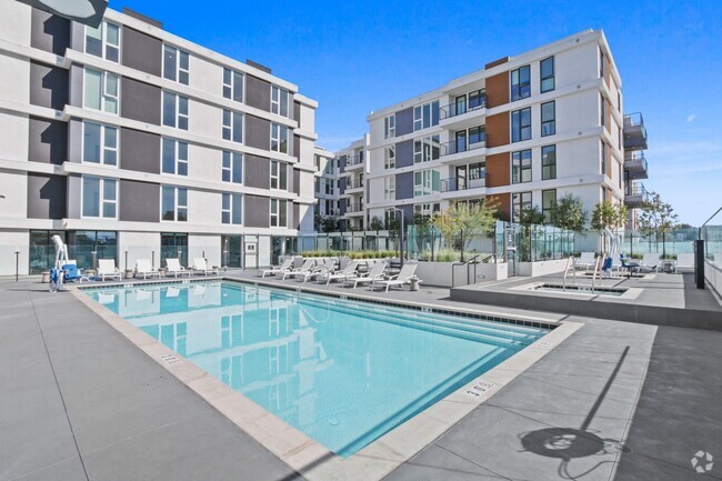
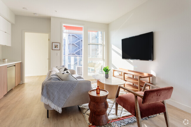
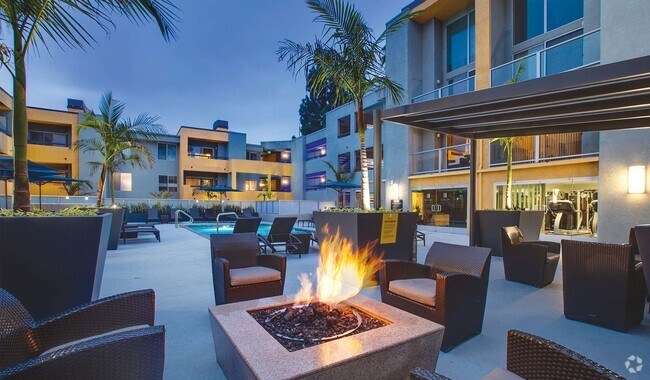
You May Also Like
Similar Rentals Nearby


What Are Walk Score®, Transit Score®, and Bike Score® Ratings?
Walk Score® measures the walkability of any address. Transit Score® measures access to public transit. Bike Score® measures the bikeability of any address.
What is a Sound Score Rating?
A Sound Score Rating aggregates noise caused by vehicle traffic, airplane traffic and local sources