
55 Greenbrier Dr
55 Greenbrier Dr,
Oroville, CA 95966
$2,200
4 Beds
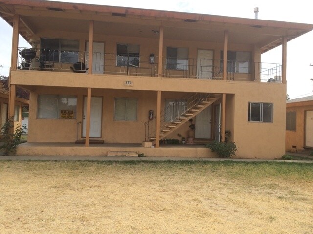

At 665 High St, you've discovered your new home. The 665 High St. location in Oroville's 95965 area is an ideal place to move. Come for a visit to see the available floorplan options. From amenities to floorplan options, the professional leasing team is ready to help you find the perfect new apartment. Contact us or drop by to check the availability and set up a tour today and find your new place at 665 High St.
665 High St is an apartment community located in Butte County and the 95965 ZIP Code. This area is served by the Thermalito Union Elementary School District attendance zone.
Situated about 20 miles southeast of Chico, Oroville rests along the Feather River in the Sierra Nevada foothills. Known for its natural beauty and recreational opportunities, Oroville presents residents and visitors with abundant options for hiking, biking, fishing, and boating with convenient access to the expansive Lake Oroville and numerous public recreation areas.
Oroville residents enjoy a small-town feel provided by the close-knit community and historic downtown area in Oroville. Special year-round events bond the community in Oroville, including Feather Fiesta Days, Wildflower and Nature Festival, Salmon Festival, and First Fridays in the Historic Downtown District. Major destinations within a three-hour drive of Oroville include Sacramento, San Francisco, Lake Tahoe, and Reno, Nevada. Getting around from Oroville is easy with access to State Highway 70, the B-Line, and an Amtrak station.
Learn more about living in Oroville| Colleges & Universities | Distance | ||
|---|---|---|---|
| Colleges & Universities | Distance | ||
| Drive: | 19 min | 12.6 mi | |
| Drive: | 26 min | 20.4 mi | |
| Drive: | 31 min | 22.9 mi | |
| Drive: | 47 min | 30.9 mi |


Scores provided by
Traffic
-Airport
-Businesses
-Scores provided by
HowLoud What is a Sound Score Rating? A Sound Score Rating aggregates noise caused by vehicle traffic, airplane traffic and local sources. How It WorksWhat Are Walk Score®, Transit Score®, and Bike Score® Ratings?
Walk Score® measures the walkability of any address. Transit Score® measures access to public transit. Bike Score® measures the bikeability of any address.
What is a Sound Score Rating?
A Sound Score Rating aggregates noise caused by vehicle traffic, airplane traffic and local sources.

665 High St
Oroville, CA 95965


