$1,000
/ Month
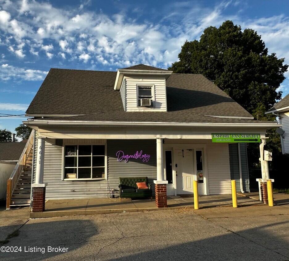
6611 Hwy 22 Unit 4
Crestwood, KY 40014
Favorites
6611 Hwy 22 Unit 4

Favorites
Check Back Soon for Upcoming Availability
| Beds | Baths | Average SF |
|---|---|---|
| 1 Bedroom 1 Bedroom 1 Br | 1 Bath 1 Bath 1 Ba | 500 SF |
About This Property
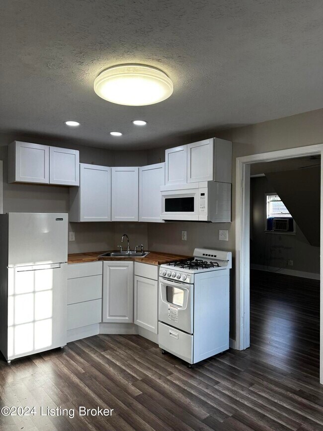
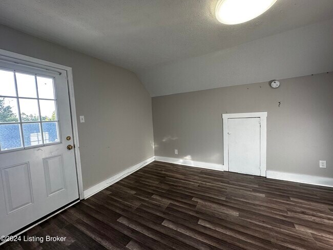
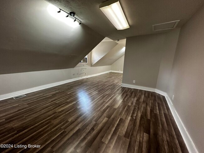
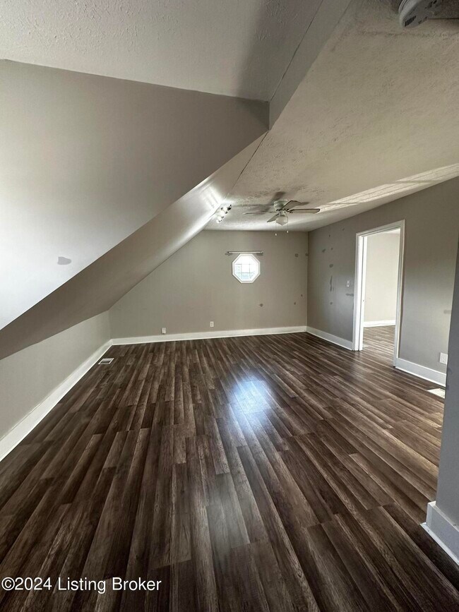
Discover the perfect blend of character and modern convenience in this fantastic 1-bedroom,1-bath studio plus apartment,nestled in the heart of Crestwood,KY. Located on the second floor above vibrant retail space,this charming residence offers both unique appeal and modern updates.Plus you will enjoy the convenience of two separate entrances,providing easy access and additional privacy. Located in Oldham County,this property puts you right in the middle of Crestwood's lively atmosphere,with shopping just steps away. Experience the charm of this unique apartment,where character meets convenience. Schedule your viewing today and make this exceptional studio plus your new home!
6611 Hwy 22 is an apartment community located in Oldham County and the 40014 ZIP Code.
6611 Hwy 22,
Crestwood,
KY
40014
Education
| Colleges & Universities | Distance | ||
|---|---|---|---|
| Colleges & Universities | Distance | ||
| Drive: | 18 min | 9.6 mi | |
| Drive: | 26 min | 17.2 mi | |
| Drive: | 26 min | 18.9 mi | |
| Drive: | 30 min | 21.7 mi |
6611 Hwy 22 Unit 4 is within 18 minutes or 9.6 miles from University of Louisville. It is also near Southern Baptist Seminary and Sullivan University.
Walkability Near 6611 Hwy 22 Crestwood, KY 40014
Getting Around
 What do Walkability, Transit, Drivability, and Bikeability mean?
Walkability measures the walking distance to day-to-day needs.
Transit measures access to public transportation.
Drivability measures congestion, parking availability, and access to major roads.
Bikeability measures the suitability for cycling.
How It Works
What do Walkability, Transit, Drivability, and Bikeability mean?
Walkability measures the walking distance to day-to-day needs.
Transit measures access to public transportation.
Drivability measures congestion, parking availability, and access to major roads.
Bikeability measures the suitability for cycling.
How It Works
Somewhat Walkable
Walkability
30
/ 100
Exceptionally Drivable
Drivability
100
/ 100
Somewhat Bikeable
Bikeability
20
/ 100
Scores provided by
-
Soundscore™
-
/ 100
Traffic
-Airport
-Businesses
-Scores provided by
HowLoud What is a Sound Score Rating? A Sound Score Rating aggregates noise caused by vehicle traffic, airplane traffic and local sources. How It WorksYou May Also Like
Similar Rentals Nearby


What Are Walk Score®, Transit Score®, and Bike Score® Ratings?
Walk Score® measures the walkability of any address. Transit Score® measures access to public transit. Bike Score® measures the bikeability of any address.
What is a Sound Score Rating?
A Sound Score Rating aggregates noise caused by vehicle traffic, airplane traffic and local sources.

6611 Hwy 22
Crestwood, KY 40014