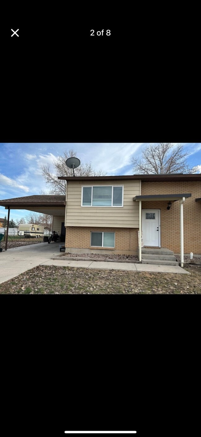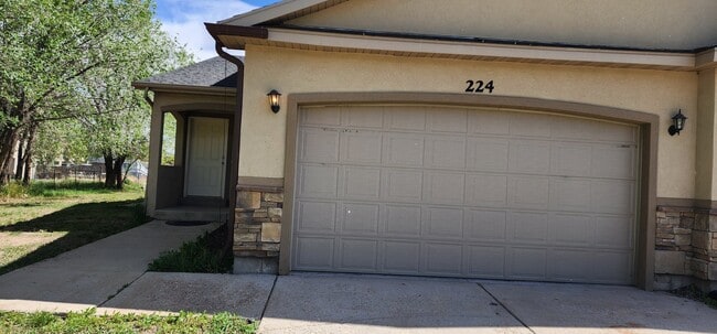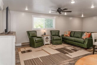


$350 / Month

650 N 100 W

,

Vernal, UT 84078

Share Listing
Favorites
650 N 100 W
Share Listing
Favorites

Check Back Soon for Upcoming Availability

Beds Baths Average SF
2 Bedrooms 2 Bedrooms 2 Br 1 Bath 1 Bath 1 Ba

About This Property

(435) 789-2828 x2 - - (RLNE1838027)

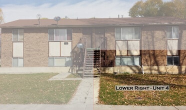
650 N 100 W is a condo located in Uintah County and the 84078 ZIP Code. This area is served by the Uintah District attendance zone.

Location
650 N 100 W, Vernal,
UT 84078
Get Directions
| Edit

Under 30 minutes

Commute Time is calculated at rush hour.
City - Vernal

Tucked into the northeastern corner of Utah, Vernal sits roughly 170 miles east of Salt Lake City at the edge of the Uinta Basin, where wide-open skies and ancient geology shape the character of everyday life. The city serves as the county seat of Uintah County and has long been anchored by the energy industry, drawing workers and their households to the area for decades. A regional campus of Utah State University adds an educational dimension to the community, broadening the range of opportunities available locally. Vernal is perhaps best known as the gateway to Dinosaur National Monument, and that identity runs deep. The Utah Field House of Natural History State Park sits right in town, connecting residents to the area's prehistoric past. Neighborhoods here range from established residential streets near downtown to newer subdivisions spreading outward toward the surrounding high desert.

Learn more about living in Vernal 
Education
Schools
Public Elementary School
Grades K-5
151 Students
Nearby
Public Elementary School
Grades K-5
502 Students
Attendance Zone
Public Middle School
Grades 6-8
849 Students
Attendance Zone
Public Middle School
Grades 6-8
669 Students
Attendance Zone
Public High School
Grades 9-12
1,808 Students
Attendance Zone
Private Elementary & Middle School
Grades PK-8
110 Students
Nearby
Transportation

Walkability Near 650 N 100 W Vernal, UT 84078

Getting Around
Fairly Walkable
Walkability
50 / 100
Exceptionally Drivable
Drivability
90 / 100
Fairly Bikeable
Bikeability
40 / 100

Scores provided by

What do Walkability, Transit, Drivability, and Bikeability mean? Walkability measures the walking distance to day-to-day needs. Transit measures access to public transportation. Drivability measures congestion, parking availability, and access to major roads. Bikeability measures the suitability for cycling. How It Works
-
Soundscore
- / 100

Traffic

-

Airport

-

Businesses

-

Scores provided by

HowLoud What is a Sound Score Rating? A Sound Score Rating aggregates noise caused by vehicle traffic, airplane traffic and local sources. How It Works
Points of Interest

Time and distance from 650 N 100 W.

Shopping Centers Distance
Walk: 4 min 0.2 mi
Walk: 11 min 0.6 mi
Walk: 25 min 1.3 mi
650 N 100 W has 3 shopping centers within 1.3 miles, which is about a 25-minute walk. The miles and minutes will be for the farthest away property.
Parks and Recreation Distance
Utah Field House of Natural History
Drive: 1 min 1.3 mi
Jones Hole National Fish Hatchery
Drive: 4 min 2.6 mi
Ouray National Fish Hatchery
Drive: 4 min 2.6 mi
Steinaker State Park
Drive: 13 min 7.8 mi
Red Fleet State Park
Drive: 46 min 19.0 mi
650 N 100 W has 5 parks within 19.0 miles, including Utah Field House of Natural History, Jones Hole National Fish Hatchery, and Ouray National Fish Hatchery.
Hospitals Distance
Hospitals Distance
Walk: 11 min 0.6 mi
650 N 100 W is 0.6 mile and a 11 minute walk from Ashley Regional Medical Center.

You May Also Like

Similar Rentals Nearby