
Presidential Towers
555 W Madison St,
Chicago, IL 60661
$1,635 - $9,335
Studio - 2 Beds

Beautiful and sunny 1 bedroom apartment with heat and water included in the rent. Granite counter tops, dining room area and gorgeous hardwood floors. Freshly painted, new blinds, new, remodeled bathroom. Laundry room on site. Unit on 1st floor and 3rd floor available. Close to transportation and shopping. Please contact me for more details and tour appointments.
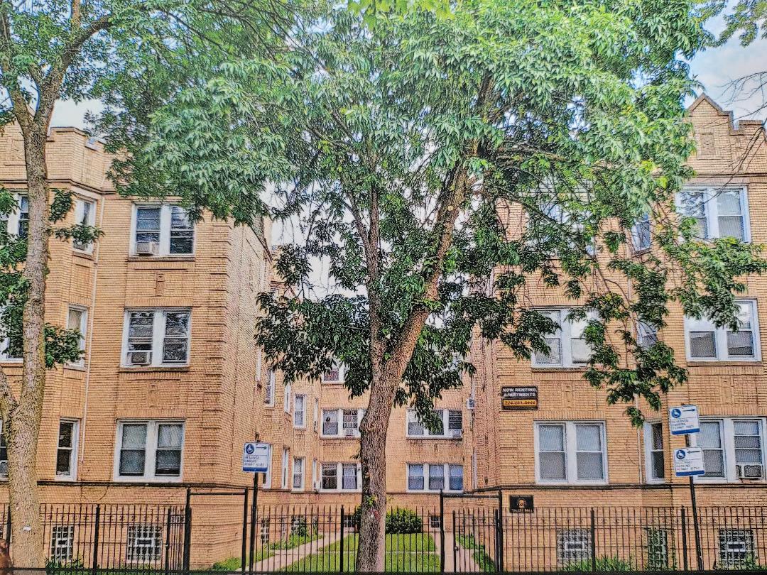
6439-45 N Richmond St is an apartment community located in Cook County and the 60645 ZIP Code. This area is served by the Chicago Public Schools attendance zone.
High Speed Internet Access
Hardwood Floors
Granite Countertops
Refrigerator
West Ridge Park is located on the far north side of Chicago, an upscale community encompassed with tree-lined streets, multicultural establishments, and historic homes.
Many diverse restaurants can be found along West Devon Avenue, which is a couple of blocks south of Robert A. Black Golf Course. Many green spaces make up West Rogers Park, including Mather Park and Indian Boundary Park.
Residents of this lush Chicago community enjoy proximity to Rogers Park Train Station, Loyola Beach, and Lincoln Town Center mall.
Learn more about living in West Rogers Park| Colleges & Universities | Distance | ||
|---|---|---|---|
| Colleges & Universities | Distance | ||
| Drive: | 6 min | 2.1 mi | |
| Drive: | 5 min | 2.4 mi | |
| Drive: | 6 min | 2.6 mi | |
| Drive: | 6 min | 3.2 mi |


Transportation options available in Chicago include Loyola Station, located 2.5 miles from 6439-45 N Richmond St. 6439-45 N Richmond St is near Chicago O'Hare International, located 11.7 miles or 22 minutes away, and Chicago Midway International, located 16.8 miles or 32 minutes away.
| Transit / Subway | Distance | ||
|---|---|---|---|
| Transit / Subway | Distance | ||
|
|
Drive: | 6 min | 2.5 mi |
|
|
Drive: | 6 min | 3.0 mi |
|
|
Drive: | 7 min | 3.1 mi |
|
|
Drive: | 7 min | 3.2 mi |
|
|
Drive: | 7 min | 3.2 mi |
| Commuter Rail | Distance | ||
|---|---|---|---|
| Commuter Rail | Distance | ||
| Drive: | 4 min | 2.0 mi | |
|
|
Drive: | 6 min | 2.6 mi |
|
|
Drive: | 8 min | 3.7 mi |
|
|
Drive: | 8 min | 3.8 mi |
|
|
Drive: | 8 min | 4.3 mi |
| Airports | Distance | ||
|---|---|---|---|
| Airports | Distance | ||
|
Chicago O'Hare International
|
Drive: | 22 min | 11.7 mi |
|
Chicago Midway International
|
Drive: | 32 min | 16.8 mi |
Time and distance from 6439-45 N Richmond St.
| Shopping Centers | Distance | ||
|---|---|---|---|
| Shopping Centers | Distance | ||
| Walk: | 13 min | 0.7 mi | |
| Walk: | 15 min | 0.8 mi | |
| Walk: | 16 min | 0.9 mi |
| Parks and Recreation | Distance | ||
|---|---|---|---|
| Parks and Recreation | Distance | ||
|
Warren Park
|
Drive: | 3 min | 1.2 mi |
|
Rogers Park
|
Drive: | 4 min | 1.6 mi |
|
North Park Village Nature Center
|
Drive: | 4 min | 2.1 mi |
|
Winnemac Park
|
Drive: | 6 min | 2.5 mi |
|
Touhy Park
|
Drive: | 6 min | 3.0 mi |
| Hospitals | Distance | ||
|---|---|---|---|
| Hospitals | Distance | ||
| Drive: | 4 min | 1.8 mi | |
| Drive: | 6 min | 2.9 mi | |
| Drive: | 7 min | 3.2 mi |
| Military Bases | Distance | ||
|---|---|---|---|
| Military Bases | Distance | ||
| Drive: | 31 min | 19.6 mi |
What Are Walk Score®, Transit Score®, and Bike Score® Ratings?
Walk Score® measures the walkability of any address. Transit Score® measures access to public transit. Bike Score® measures the bikeability of any address.
What is a Sound Score Rating?
A Sound Score Rating aggregates noise caused by vehicle traffic, airplane traffic and local sources

6439-45 N Richmond St
Chicago, IL 60645


