
$2,975
/ Month
640 Chestnut St
San Carlos, CA 94070
Favorites
640 Chestnut St

Favorites
Check Back Soon for Upcoming Availability
| Beds | Baths | Average SF |
|---|---|---|
| 2 Bedrooms 2 Bedrooms 2 Br | 1 Bath 1 Bath 1 Ba | — |
Fees and Policies
The fees listed below are community-provided and may exclude utilities or add-ons. All payments are made directly to the property and are non-refundable unless otherwise specified.
About This Property
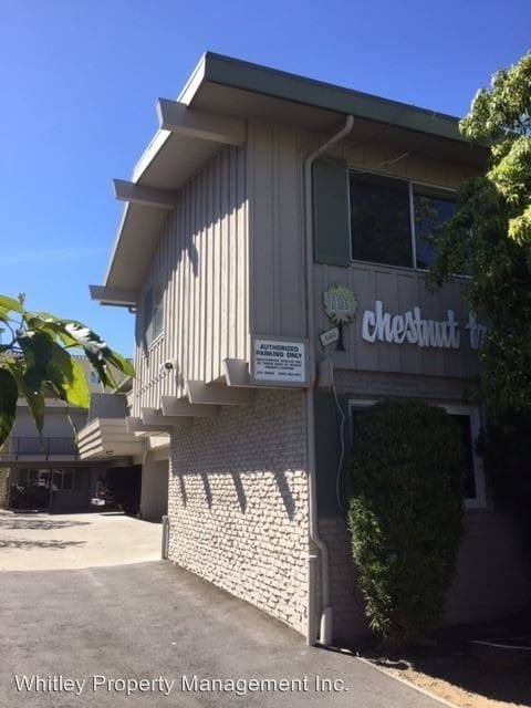
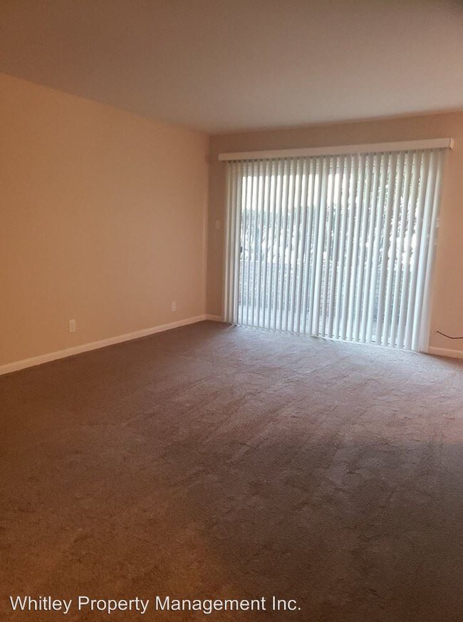
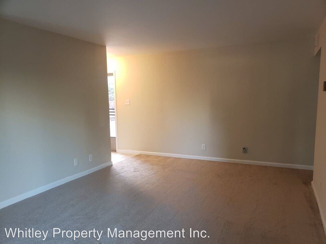
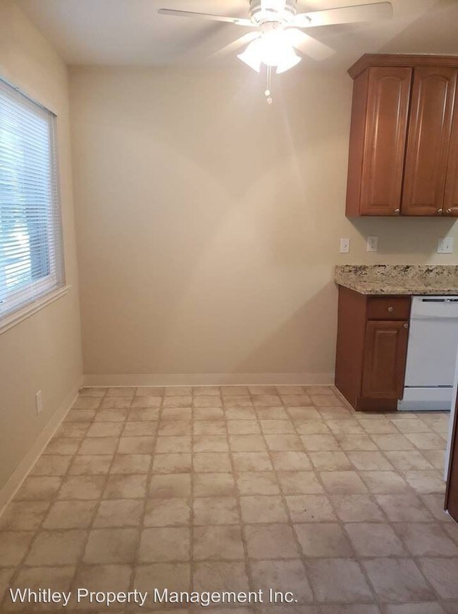
(650) 361-1027 x5382 - Ground floor two bedroom with new carpet throughout - 640 Chestnut Street, #1 San Carlos, CA 94070 This two bedroom ground floor apartment is walking distance from Downtown San Carlos and Cal train with convenient access to Highway 101. Features include: Carpet throughout Kitchen complete with granite counter tops, electric stove, built in microwave, dishwasher, and refrigerator Eat in dining area off kitchen with ceiling fan Spacious living room with sliding door leading to private patio Master bedroom has 2 closets and ceiling fan Full bathroom with vanity, bathtub, and tile surround Second bedroom has ceiling fan One covered parking space Coin operated laundry on site Water and garbage included in the rent Available Now Cats OK with additional deposit $2975 per month / $1500 security deposit Please contact Nicole Rackham (License #01440915) with Whitley Property Management (License #01350353) at 650-361-1027 for an appointment to view this unit. No Dogs Allowed (RLNE2145522) Pet policies: Cats Allowed, No Dogs Allowed.
640 Chestnut St is an apartment community located in San Mateo County and the 94070 ZIP Code.
Unique Features
- No Dogs Allowed
640 Chestnut St,
San Carlos,
CA
94070
San Carlos sits at the heart of the San Francisco Peninsula, tucked between Redwood City and Belmont in San Mateo County, earning its long-held nickname "The City of Good Living" through a mix of quiet residential streets and a walkable downtown core. The city covers just six square miles, yet packs in a strong sense of place anchored by Laurel Street, which serves as the commercial and social hub where coffee shops, wine bars, and local restaurants draw residents out on foot most evenings. A centrally located Caltrain station makes commuting north to San Francisco or south to San Jose straightforward without a car, and proximity to both Highway 101 and Interstate 280 adds flexibility for those who drive.
The housing stock reflects the city's blend of established neighborhoods and newer infill development.
Learn more about living in San Carlos
Amenities
- No Dogs Allowed
Education
| Colleges & Universities | Distance | ||
|---|---|---|---|
| Colleges & Universities | Distance | ||
| Drive: | 13 min | 5.7 mi | |
| Drive: | 14 min | 7.5 mi | |
| Drive: | 13 min | 8.2 mi | |
| Drive: | 22 min | 9.2 mi |
640 Chestnut St is within 14 minutes or 7.5 miles from Canada College. It is also near Menlo College and College of San Mateo.
Transportation options available in San Carlos include Millbrae (Caltrain Transfer Platform), located 11.5 miles from 640 Chestnut St. 640 Chestnut St is near San Francisco International, located 12.6 miles or 18 minutes away, and Metro Oakland International, located 28.2 miles or 37 minutes away.
| Transit / Subway | Distance | ||
|---|---|---|---|
| Transit / Subway | Distance | ||
|
|
Drive: | 17 min | 11.5 mi |
| Commuter Rail | Distance | ||
|---|---|---|---|
| Commuter Rail | Distance | ||
| Walk: | 10 min | 0.5 mi | |
| Drive: | 4 min | 1.7 mi | |
| Drive: | 6 min | 2.5 mi | |
| Drive: | 9 min | 3.8 mi | |
| Drive: | 9 min | 5.4 mi |
| Airports | Distance | ||
|---|---|---|---|
| Airports | Distance | ||
|
San Francisco International
|
Drive: | 18 min | 12.6 mi |
|
Metro Oakland International
|
Drive: | 37 min | 28.2 mi |
Walkability Near 640 Chestnut St San Carlos, CA 94070
Getting Around
 What do Walkability, Transit, Drivability, and Bikeability mean?
Walkability measures the walking distance to day-to-day needs.
Transit measures access to public transportation.
Drivability measures congestion, parking availability, and access to major roads.
Bikeability measures the suitability for cycling.
How It Works
What do Walkability, Transit, Drivability, and Bikeability mean?
Walkability measures the walking distance to day-to-day needs.
Transit measures access to public transportation.
Drivability measures congestion, parking availability, and access to major roads.
Bikeability measures the suitability for cycling.
How It Works
Moderately Walkable
Walkability
60
/ 100
Some Public Transit
Transit
50
/ 100
Very Drivable
Drivability
80
/ 100
Fairly Bikeable
Bikeability
50
/ 100
Scores provided by
What do Walkability, Transit, Drivability, and Bikeability mean?
Walkability measures the walking distance to day-to-day needs.
Transit measures access to public transportation.
Drivability measures congestion, parking availability, and access to major roads.
Bikeability measures the suitability for cycling.
How It Works
-
Soundscore™
-
/ 100
Traffic
-Airport
-Businesses
-Scores provided by
HowLoud What is a Sound Score Rating? A Sound Score Rating aggregates noise caused by vehicle traffic, airplane traffic and local sources. How It WorksTime and distance from 640 Chestnut St.
| Shopping Centers | Distance | ||
|---|---|---|---|
| Shopping Centers | Distance | ||
| Drive: | 2 min | 1.1 mi | |
| Drive: | 3 min | 1.2 mi | |
| Drive: | 3 min | 1.3 mi |
640 Chestnut St has 3 shopping centers within 1.3 miles, which is about a 3-minute drive. The miles and minutes will be for the farthest away property.
| Parks and Recreation | Distance | ||
|---|---|---|---|
| Parks and Recreation | Distance | ||
|
Edgewood Park & Natural Preserve
|
Drive: | 7 min | 3.2 mi |
|
Red Morton Park
|
Drive: | 9 min | 3.8 mi |
|
Stulsaft Park
|
Drive: | 11 min | 4.2 mi |
|
Pulgas Ridge Open Space Preserve
|
Drive: | 10 min | 4.7 mi |
|
Filoli Gardens
|
Drive: | 15 min | 5.7 mi |
640 Chestnut St has 5 parks within 5.7 miles, including Edgewood Park & Natural Preserve, Red Morton Park, and Pulgas Ridge Open Space Preserve.
| Hospitals | Distance | ||
|---|---|---|---|
| Hospitals | Distance | ||
| Drive: | 5 min | 2.1 mi | |
| Drive: | 6 min | 3.0 mi | |
| Drive: | 8 min | 3.3 mi |
640 Chestnut St has 3 hospitals within 3.3 miles, the nearest is Sequoia Hospital which is 2.1 miles away and a 5 minute drive.
| Military Bases | Distance | ||
|---|---|---|---|
| Military Bases | Distance | ||
| Drive: | 23 min | 15.2 mi | |
| Drive: | 49 min | 35.7 mi | |
| Drive: | 49 min | 35.9 mi |
640 Chestnut St has 3 military bases within 35.9 miles, the nearest is Ames Research Center which is 15.2 miles away and a 23 minute drive.
You May Also Like
Similar Rentals Nearby


What Are Walk Score®, Transit Score®, and Bike Score® Ratings?
Walk Score® measures the walkability of any address. Transit Score® measures access to public transit. Bike Score® measures the bikeability of any address.
What is a Sound Score Rating?
A Sound Score Rating aggregates noise caused by vehicle traffic, airplane traffic and local sources.
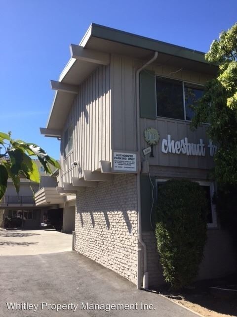
640 Chestnut St
San Carlos, CA 94070