
Duo Apartments
6670 Emergent Way,
San Jose, CA 95119
$2,628 - $5,845
Studio - 3 Beds
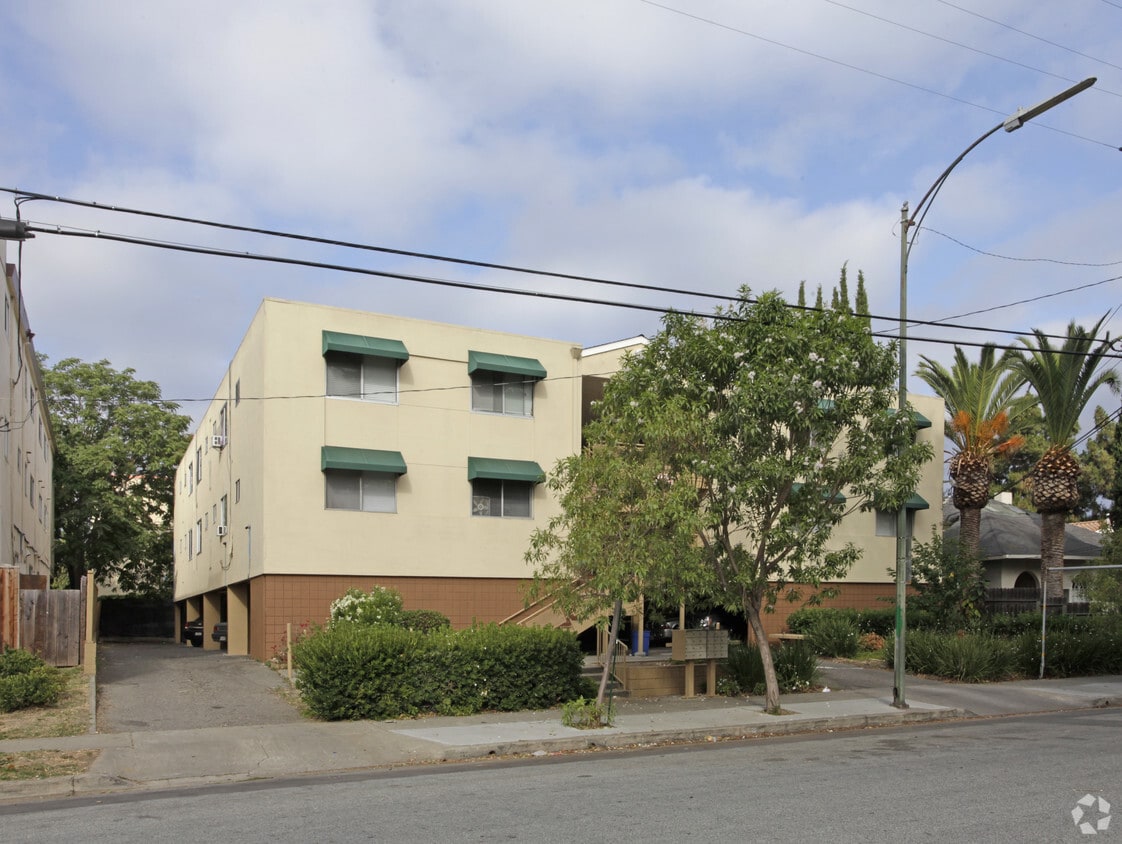
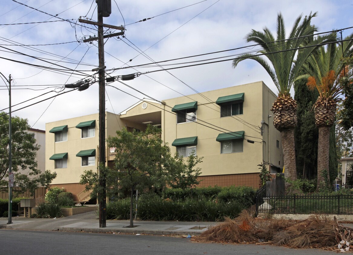

Discover your new apartment at 633 S 8th St. You'll find this community in the Sun area of San Jose. The professional leasing team is available to help you find your ideal place. It's time to love where you live. Stop by for a visit today.
633 S 8th St is an apartment community located in Santa Clara County and the 95112 ZIP Code. This area is served by the San Jose Unified School District attendance zone.
High Speed Internet Access
Disposal
Smoke Free
Heating
Sun is the perfect neighborhood for students, professionals, city lovers, and art aficionados. Nestled right next to bustling Downtown San Jose and south of San Jose State University, Sun is a highly walkable neighborhood. William Street anchors the neighborhood with tons of diverse restaurants along the road while the namesake park offers residents a breath of fresh air.
With close proximity to the heart of the city, Sun affords residents quick access to premiere entertainment venues, galleries, museums, breweries, pubs, eateries, and more. Admire one-of-a-kind art pieces at the San Jose Institute of Contemporary Art, catch a show at the California Theater, and devour all-you-can-eat barbecue at Taurinus Brazilian Steak House. Sun is also convenient to the Happy Hollow Park and Zoo. Essentially, the Sun neighborhood allows you to enjoy all the wonders of city life in a low-key environment.
Learn more about living in SunCompare neighborhood and city base rent averages by bedroom.
| Sun | San Jose, CA | |
|---|---|---|
| Studio | $1,708 | $2,334 |
| 1 Bedroom | $1,945 | $2,704 |
| 2 Bedrooms | $2,726 | $3,393 |
| 3 Bedrooms | $2,577 | $4,137 |
| Colleges & Universities | Distance | ||
|---|---|---|---|
| Colleges & Universities | Distance | ||
| Walk: | 10 min | 0.6 mi | |
| Drive: | 7 min | 3.6 mi | |
| Drive: | 12 min | 5.0 mi | |
| Drive: | 16 min | 8.9 mi |


Transportation options available in San Jose include Paseo De San Antonio Station Southbound, located 0.9 mile from 633 S 8th St. 633 S 8th St is near Norman Y Mineta San Jose International, located 4.4 miles or 9 minutes away, and Metro Oakland International, located 36.7 miles or 49 minutes away.
| Transit / Subway | Distance | ||
|---|---|---|---|
| Transit / Subway | Distance | ||
|
|
Walk: | 16 min | 0.9 mi |
|
|
Walk: | 17 min | 0.9 mi |
| Walk: | 18 min | 0.9 mi | |
|
|
Walk: | 18 min | 1.0 mi |
| Drive: | 3 min | 1.3 mi |
| Commuter Rail | Distance | ||
|---|---|---|---|
| Commuter Rail | Distance | ||
| Drive: | 5 min | 1.9 mi | |
| Drive: | 5 min | 1.9 mi | |
| Drive: | 5 min | 1.9 mi | |
| Drive: | 5 min | 2.2 mi | |
| Drive: | 6 min | 2.8 mi |
| Airports | Distance | ||
|---|---|---|---|
| Airports | Distance | ||
|
Norman Y Mineta San Jose International
|
Drive: | 9 min | 4.4 mi |
|
Metro Oakland International
|
Drive: | 49 min | 36.7 mi |
Scores provided by
Traffic
-Airport
-Businesses
-Scores provided by
HowLoud What is a Sound Score Rating? A Sound Score Rating aggregates noise caused by vehicle traffic, airplane traffic and local sources. How It WorksTime and distance from 633 S 8th St.
| Shopping Centers | Distance | ||
|---|---|---|---|
| Shopping Centers | Distance | ||
| Walk: | 17 min | 0.9 mi | |
| Drive: | 3 min | 1.2 mi | |
| Drive: | 3 min | 1.2 mi |
| Parks and Recreation | Distance | ||
|---|---|---|---|
| Parks and Recreation | Distance | ||
|
Children's Discovery Museum of San Jose
|
Walk: | 20 min | 1.1 mi |
|
The Tech Museum of Innovation
|
Drive: | 2 min | 1.1 mi |
|
Japanese Friendship Garden Regional Park
|
Drive: | 3 min | 1.2 mi |
|
Happy Hollow Park & Zoo
|
Drive: | 3 min | 1.3 mi |
|
Guadalupe River Park and Gardens
|
Drive: | 4 min | 1.4 mi |
| Hospitals | Distance | ||
|---|---|---|---|
| Hospitals | Distance | ||
| Drive: | 6 min | 3.8 mi | |
| Drive: | 7 min | 4.1 mi | |
| Drive: | 12 min | 8.4 mi |
| Military Bases | Distance | ||
|---|---|---|---|
| Military Bases | Distance | ||
| Drive: | 21 min | 13.9 mi |
Fitness Center Pool In Unit Washer & Dryer High-Speed Internet Stainless Steel Appliances Package Service
What Are Walk Score®, Transit Score®, and Bike Score® Ratings?
Walk Score® measures the walkability of any address. Transit Score® measures access to public transit. Bike Score® measures the bikeability of any address.
What is a Sound Score Rating?
A Sound Score Rating aggregates noise caused by vehicle traffic, airplane traffic and local sources.

633 S 8th St
San Jose, CA 95112


