
$895 / Month
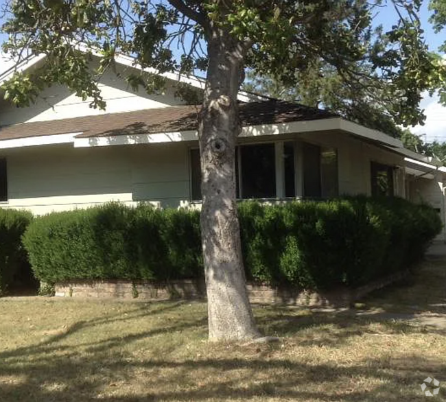
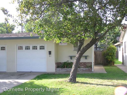
6307 San Benito Way
Citrus Heights, CA 95610
2 Weeks Ago
Favorites
6307 San Benito Way

Favorites
Check Back Soon for Upcoming Availability
| Beds | Baths | Average SF |
|---|---|---|
| 2 Bedrooms 2 Bedrooms 2 Br | 1 Bath 1 Bath 1 Ba | — |
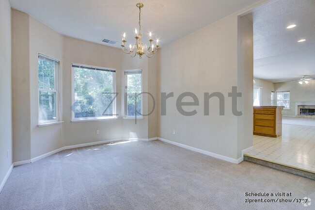
About This Property
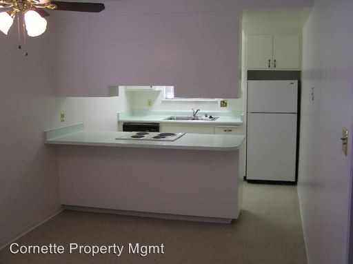
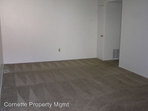
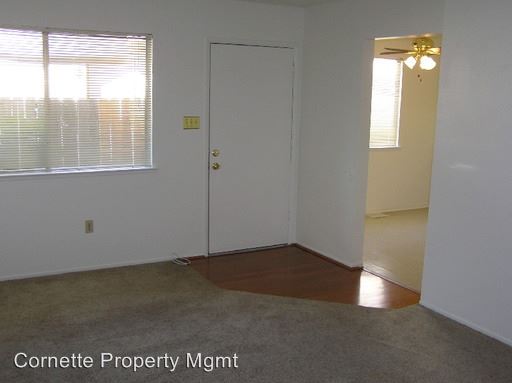
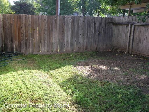
(916) 597-2015 - Charming 2bd/1ba Citrus Height Duplex with Garage - This Charming 2bd/1ba Duplex is located in Citrus Heights near Mariposa & Greenback Lane close to San Juan High School. Close to schools, parks, shopping, public transportation, Sunrise Mall shopping area, freeway access to I80, minutes from Roseville. Amenities include living and dining areas, dishwasher, range, refrigerator, disposal, central heat & air, laundry hook-ups, 1-car garage, patio, fenced yard. PLEASE DO NOT DISTURB THE CURRENT OCCUPANTS. This property requires a one-year lease, pets negotiable with $500.00 additional deposit and breed restrictions. Tenant pays $70.00/month toward water, sewer, garbage and balance of any monthly water billing over $70.00. For more information or to view our showing calendar please visit www.cornettemanagement.com or call (916) 597-2015. The above property description and information is deemed to be accurate but is not guaranteed and may be changed without notice. (RLNE2360811) Other Amenities - Other- living room, dining area, 1 car garage with door opener, Yard, Patio. Appliances - Dishwasher, Air Conditioning, Refrigerator, Range, Garbage Disposal, Washer & Dryer Hookup. Pet policies - Small Dogs Allowed, Cats Allowed, Large Dogs Allowed.
6307 San Benito Way is a house located in Sacramento County and the 95610 ZIP Code. This area is served by the San Juan Unified attendance zone.
House Features
- Air Conditioning
Location
Get Directions
Defined by sun-drenched neighborhoods, tree-lined streets, and lacy palm trees against bright blue sky, Citrus Heights is a beautiful suburban city just 14 miles northeast of Downtown Sacramento. Citrus Heights residents enjoy easy access to I-80, for quick trips to Sacramento or northeast to Roseville, home of the Westfield Galleria at Roseville. Folsom Lake, a popular resort area, is minutes east of Citrus Heights.
Apartments in Citrus Heights provide a quieter option to city living while still being well within reach of everything this busy area has to offer -- including California State University, Sacramento, the Sacramento Zoo, and Sacramento International Airport. But as a busy city with plenty of businesses, shops, restaurants, and entertainment of its own, you'll find plenty to do closer to home. Go shopping at the Sunrise Mall, visit Rusch Park, home of the Historic Rusch Home and Gardens, and spend the afternoon golfing at Foothill Golf Center.
Learn more about living in Citrus Heights
Amenities
- Air Conditioning
Education
| Colleges & Universities | Distance | ||
|---|---|---|---|
| Colleges & Universities | Distance | ||
| Drive: | 12 min | 5.4 mi | |
| Drive: | 18 min | 10.0 mi | |
| Drive: | 22 min | 10.5 mi | |
| Drive: | 25 min | 15.0 mi |
6307 San Benito Way is within 12 minutes or 5.4 miles from American River College. It is also near Sierra College, Rocklin Campus and Folsom Lake College, Folsom.
Schools


Public Elementary School
Grades K-3
372 Students
Nearby
Public Elementary School
Grades K-6
379 Students
Attendance Zone
Public Elementary School
Grades K-5
413 Students
Attendance Zone
Public Middle School
Grades 6-8
605 Students
Attendance Zone
Public High School
Grades 9-12
559 Students
Attendance Zone
Private Elementary, Middle & High School
Grades 2-12
Nearby
Private Elementary & Middle School
Grades PK-8
104 Students
Nearby
Private Elementary School
Grades PK-6
Nearby
School data provided by
 The GreatSchools Rating helps parents compare schools within a state based on a variety of school quality indicators and provides a helpful picture of how effectively each school serves all of its students. Ratings are on a scale of 1 (below average) to 10 (above average) and can include test scores, college readiness, academic progress, advanced courses, equity, discipline and attendance data. We also advise parents to visit schools, consider other information on school performance and programs, and consider family needs as part of the school selection process.
View GreatSchools Rating Methodology
View GreatSchools Rating Methodology
Transportation options available in Citrus Heights include Sunrise Station (Eb), located 6.9 miles from 6307 San Benito Way. 6307 San Benito Way is near Sacramento International, located 22.6 miles or 32 minutes away.
| Transit / Subway | Distance | ||
|---|---|---|---|
| Transit / Subway | Distance | ||
| Drive: | 13 min | 6.9 mi | |
|
Hazel Station (Wb)
|
Drive: | 13 min | 7.6 mi |
| Drive: | 13 min | 7.6 mi | |
| Drive: | 15 min | 8.4 mi | |
| Drive: | 16 min | 9.4 mi |
| Commuter Rail | Distance | ||
|---|---|---|---|
| Commuter Rail | Distance | ||
|
|
Drive: | 14 min | 5.9 mi |
|
|
Drive: | 16 min | 9.1 mi |
| Drive: | 22 min | 15.9 mi | |
| Drive: | 29 min | 21.3 mi | |
|
|
Drive: | 29 min | 21.4 mi |
| Airports | Distance | ||
|---|---|---|---|
| Airports | Distance | ||
|
Sacramento International
|
Drive: | 32 min | 22.6 mi |
Time and distance from 6307 San Benito Way.
| Shopping Centers | Distance | ||
|---|---|---|---|
| Shopping Centers | Distance | ||
| Walk: | 12 min | 0.7 mi | |
| Walk: | 16 min | 0.8 mi | |
| Walk: | 16 min | 0.9 mi |
6307 San Benito Way has 3 shopping centers within 0.9 mile, which is about a 16-minute walk. The miles and minutes will be for the farthest away property.
| Parks and Recreation | Distance | ||
|---|---|---|---|
| Parks and Recreation | Distance | ||
|
Jensen Botanical Gardens
|
Drive: | 8 min | 4.5 mi |
|
Lower Sunrise Recreational Area
|
Drive: | 12 min | 5.8 mi |
|
Sailor Bar County Park
|
Drive: | 13 min | 6.2 mi |
|
Rossmoor Bar County Park
|
Drive: | 13 min | 7.0 mi |
|
Effie Yeaw Nature Center
|
Drive: | 17 min | 8.0 mi |
6307 San Benito Way has 5 parks within 8.0 miles, including Jensen Botanical Gardens, Lower Sunrise Recreational Area, and Sailor Bar County Park.
| Hospitals | Distance | ||
|---|---|---|---|
| Hospitals | Distance | ||
| Drive: | 6 min | 2.9 mi | |
| Drive: | 12 min | 6.0 mi | |
| Drive: | 13 min | 6.5 mi |
6307 San Benito Way has 3 hospitals within 6.5 miles, the nearest is Mercy San Juan Medical Center which is 2.9 miles away and a 6 minute drive.
| Military Bases | Distance | ||
|---|---|---|---|
| Military Bases | Distance | ||
| Drive: | 22 min | 9.4 mi |
6307 San Benito Way is 9.4 miles and a 22 minute drive from McClellan Air Force Base.
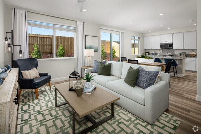
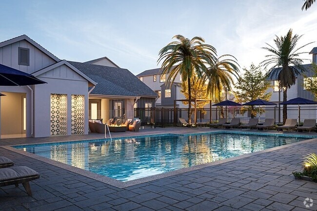
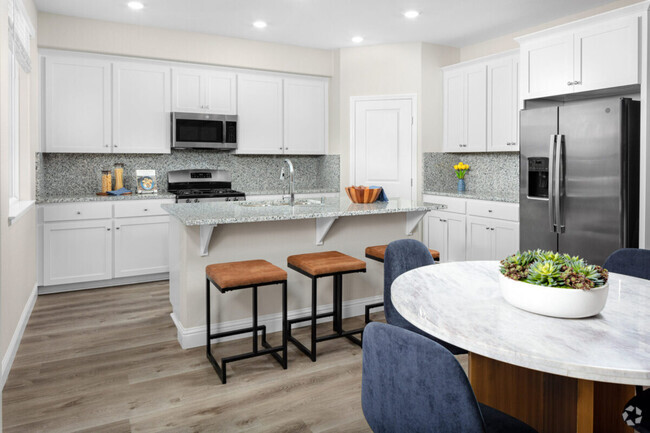
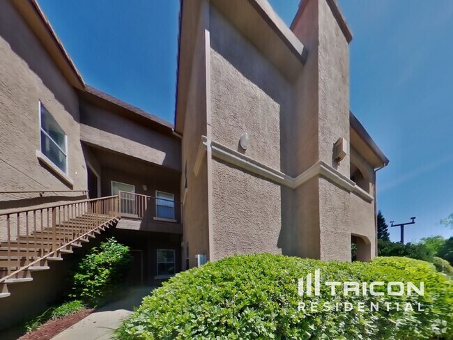
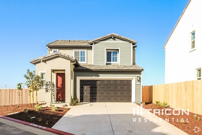
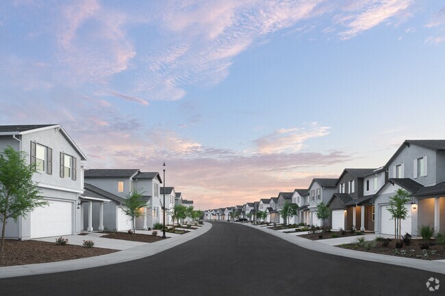
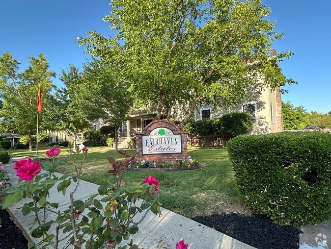
You May Also Like
Similar Rentals Nearby

What Are Walk Score®, Transit Score®, and Bike Score® Ratings?
Walk Score® measures the walkability of any address. Transit Score® measures access to public transit. Bike Score® measures the bikeability of any address.
What is a Sound Score Rating?
A Sound Score Rating aggregates noise caused by vehicle traffic, airplane traffic and local sources
6307 San Benito Way
Citrus Heights, CA 95610