
$1,200
/ Month
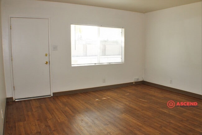
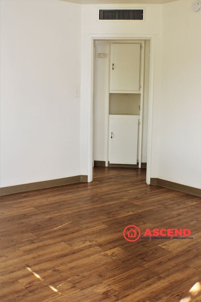
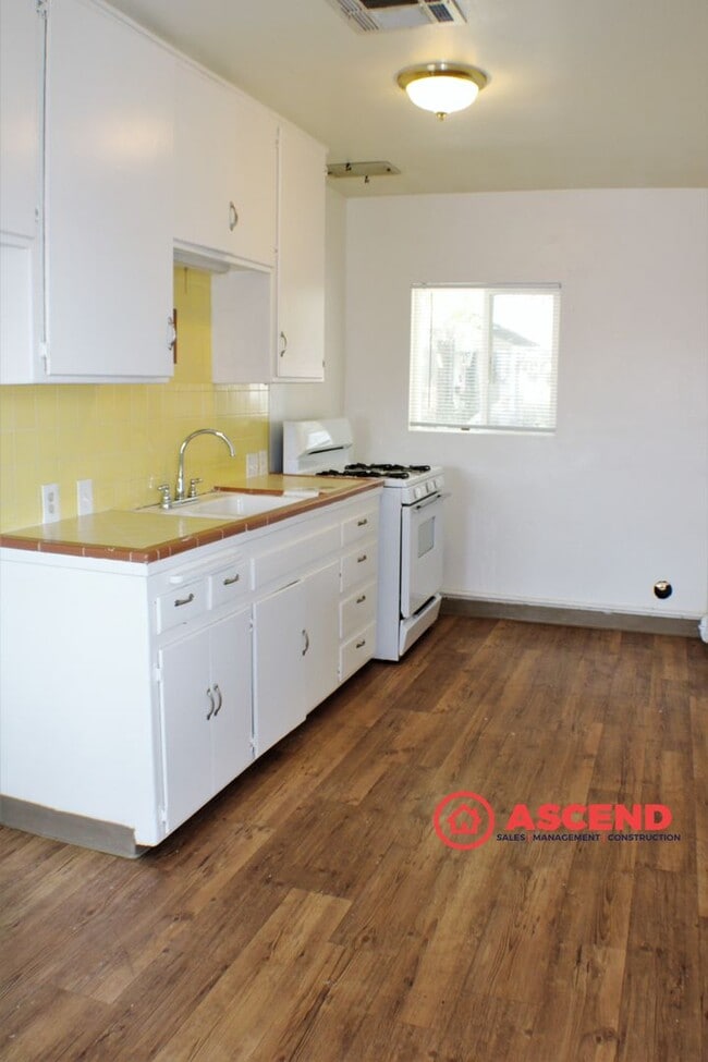
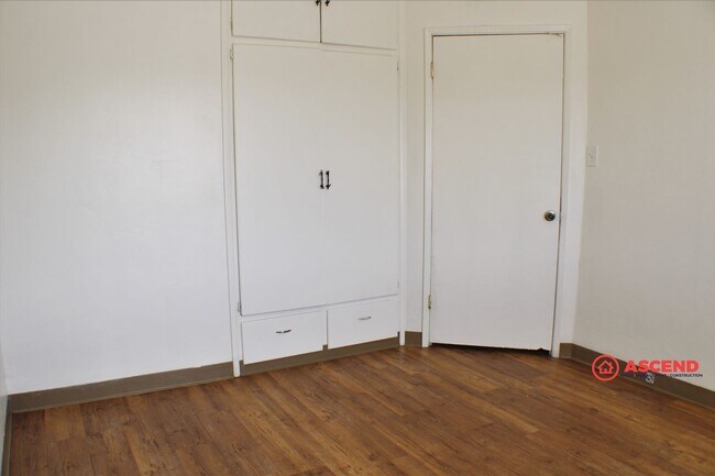
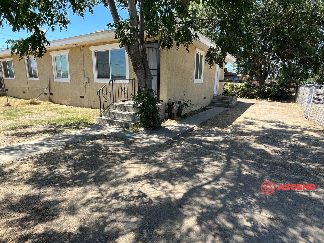
615 Olive St Unit 615 Olive Street
Bakersfield, CA 93304
Today
|
Edit
Favorites
661-873-5770
-
Bedrooms
2
-
Bathrooms
1
-
Square Feet
726 sq ft
-
Available
Available May 22
615 Olive St Unit 615 Olive Street

Favorites
Contact
- Listed by Ascend | Ascend Real Estate & Property Management Inc
- Phone Number
- Contact
Location
Get Directions
Located less than two miles from downtown, the Oleander/Sunset neighborhood of Bakersfield offers a variety of charming and affordable bungalows, townhomes, and apartments. The neighborhood provides residents with easy access to the Rabobank Arena, a venue for concerts, circuses, and special events such as roller derby matches. Nearby, the Kern River affords beautiful views for locals, and just a few miles upstream, outdoor enthusiasts can enjoy whitewater rafting through Kern River State Park.
Bakersfield High School, which has served the area for over 75 years, and Will Penn Elementary School sit within walking distance of the neighborhood, while Beale Park attracts residents who like to relax outdoors. Locals gather at the collection of restaurants, bars, and entertainment hotspots on the southern and northern borders of the neighborhood, where you’ll find a variety of cuisine to explore.
Learn more about living in Oleander/Sunset
Education
| Colleges & Universities | Distance | ||
|---|---|---|---|
| Colleges & Universities | Distance | ||
| Drive: | 11 min | 4.8 mi | |
| Drive: | 12 min | 6.8 mi |
615 Olive St Unit 615 Olive Street is within 11 minutes or 4.8 miles from Cal State Bakersfield. It is also near Bakersfield College.
Getting Around
 What do Walkability, Transit, Drivability, and Bikeability mean?
Walkability measures the walking distance to day-to-day needs.
Transit measures access to public transportation.
Drivability measures congestion, parking availability, and access to major roads.
Bikeability measures the suitability for cycling.
How It Works
What do Walkability, Transit, Drivability, and Bikeability mean?
Walkability measures the walking distance to day-to-day needs.
Transit measures access to public transportation.
Drivability measures congestion, parking availability, and access to major roads.
Bikeability measures the suitability for cycling.
How It Works
Moderately Walkable
Walkability
60
/ 100
Limited Public Transit
Transit
30
/ 100
Exceptionally Drivable
Drivability
90
/ 100
Fairly Bikeable
Bikeability
50
/ 100
Scores provided by
Active
Soundscore™
70
/ 100
Traffic
BusyAirport
CalmBusinesses
ActiveScores provided by
HowLoud What is a Sound Score Rating? A Sound Score Rating aggregates noise caused by vehicle traffic, airplane traffic and local sources. How It WorksYou May Also Like
Similar Rentals Nearby


What Are Walk Score®, Transit Score®, and Bike Score® Ratings?
Walk Score® measures the walkability of any address. Transit Score® measures access to public transit. Bike Score® measures the bikeability of any address.
What is a Sound Score Rating?
A Sound Score Rating aggregates noise caused by vehicle traffic, airplane traffic and local sources.
615 Olive St
Bakersfield, CA 93304