
$1,500
/ Month
6026 Bridgefield St
Norcross, GA 30093
2 Weeks Ago
|
Edit
Favorites
6026 Bridgefield St

Favorites
Check Back Soon for Upcoming Availability
| Beds | Baths | Average SF |
|---|---|---|
| 3 Bedrooms 3 Bedrooms 3 Br | 2.5 Baths 2.5 Baths 2.5 Ba | 1,500 SF |
About This Property
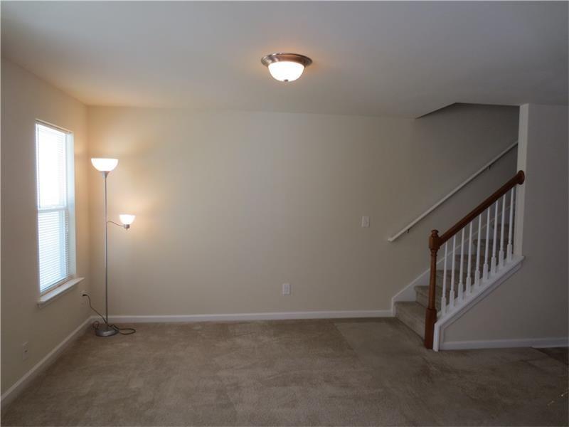
Very Nice and Clean Town home: 3 br 2.5 bath 1 car garage. Conveniently located off Rockbridge Road in Norcross. 1.5 mile from I-85, walking distance to Walmart. Private yard w/patio is Conveniently located to schools, shopping & 85 - This one will NOT Last! Great open floor plan. Laundry on a second floor. Minutes to Dining, Shopping, Hospital ! Private Backyard. Walk to Shopping, Entertainment.
6026 Bridgefield St is a condo located in Gwinnett County and the 30093 ZIP Code. This area is served by the Gwinnett County School District attendance zone.
6026 Bridgefield St,
Norcross,
GA
30093
Welcome to Norcross, a historic city in the Atlanta metropolitan area. Located just 20 miles from downtown Atlanta and accessible via Interstate 85, Norcross offers rental options from apartments to townhomes, with average rents ranging from $1,265 for one-bedroom units to $2,074 for four-bedroom homes. The historic downtown district features preserved architecture from the 1870s, local shops, and restaurants. Outdoor recreation opportunities include the developing Beaver Ruin Creek Greenway and the Western Gwinnett Bikeway, connecting Norcross to Duluth.
Home to over 17,000 residents, Norcross is served by Gwinnett County Public Schools, including Norcross High School. Major employers have established headquarters here, contributing to local employment opportunities. The city, chartered in 1870, was named after Jonathan Norcross, a former Atlanta Mayor and railroad official, reflecting its historic connection to Atlanta's transportation network.
Learn more about living in Norcross
Education
| Colleges & Universities | Distance | ||
|---|---|---|---|
| Colleges & Universities | Distance | ||
| Drive: | 17 min | 9.9 mi | |
| Drive: | 18 min | 10.3 mi | |
| Drive: | 18 min | 10.5 mi | |
| Drive: | 17 min | 11.9 mi |
6026 Bridgefield St is within 17 minutes or 9.9 miles from Georgia Perim. Coll, Dunwoody. It is also near Georgia Perim., Clarkston and Oglethorpe University.
Schools


Public Elementary School
Grades K-5
1,033 Students
Attendance Zone
Public Middle School
Grades 6-8
1,783 Students
Attendance Zone
Public High School
Grades 9-12
2,663 Students
Attendance Zone
Private Elementary, Middle & High School
Grades PK-12
1,531 Students
Nearby
Private Elementary School
Grades PK-5
Nearby
School data provided by
 The GreatSchools Rating helps parents compare schools within a state based on a variety of school quality indicators and provides a helpful picture of how effectively each school serves all of its students. Ratings are on a scale of 1 (below average) to 10 (above average) and can include test scores, college readiness, academic progress, advanced courses, equity, discipline and attendance data. We also advise parents to visit schools, consider other information on school performance and programs, and consider family needs as part of the school selection process.
View GreatSchools Rating Methodology
Data provided by GreatSchools.org © 2026. All rights reserved.
View GreatSchools Rating Methodology
Data provided by GreatSchools.org © 2026. All rights reserved.
Transportation options available in Norcross include Doraville, located 6.6 miles from 6026 Bridgefield St. 6026 Bridgefield St is near Hartsfield - Jackson Atlanta International, located 28.4 miles or 40 minutes away.
| Transit / Subway | Distance | ||
|---|---|---|---|
| Transit / Subway | Distance | ||
|
|
Drive: | 12 min | 6.6 mi |
|
|
Drive: | 13 min | 8.5 mi |
|
|
Drive: | 16 min | 10.8 mi |
|
|
Drive: | 19 min | 12.4 mi |
|
|
Drive: | 22 min | 14.7 mi |
| Commuter Rail | Distance | ||
|---|---|---|---|
| Commuter Rail | Distance | ||
|
|
Drive: | 22 min | 15.6 mi |
|
|
Drive: | 43 min | 37.6 mi |
| Airports | Distance | ||
|---|---|---|---|
| Airports | Distance | ||
|
Hartsfield - Jackson Atlanta International
|
Drive: | 40 min | 28.4 mi |
Walkability Near 6026 Bridgefield St Norcross, GA 30093
Getting Around
 What do Walkability, Transit, Drivability, and Bikeability mean?
Walkability measures the walking distance to day-to-day needs.
Transit measures access to public transportation.
Drivability measures congestion, parking availability, and access to major roads.
Bikeability measures the suitability for cycling.
How It Works
What do Walkability, Transit, Drivability, and Bikeability mean?
Walkability measures the walking distance to day-to-day needs.
Transit measures access to public transportation.
Drivability measures congestion, parking availability, and access to major roads.
Bikeability measures the suitability for cycling.
How It Works
Fairly Walkable
Walkability
50
/ 100
Limited Public Transit
Transit
30
/ 100
Exceptionally Drivable
Drivability
90
/ 100
Fairly Bikeable
Bikeability
40
/ 100
Scores provided by
-
Soundscore™
-
/ 100
Traffic
-Airport
-Businesses
-Scores provided by
HowLoud What is a Sound Score Rating? A Sound Score Rating aggregates noise caused by vehicle traffic, airplane traffic and local sources. How It WorksTime and distance from 6026 Bridgefield St.
| Shopping Centers | Distance | ||
|---|---|---|---|
| Shopping Centers | Distance | ||
| Walk: | 6 min | 0.3 mi | |
| Walk: | 8 min | 0.4 mi | |
| Walk: | 10 min | 0.6 mi |
6026 Bridgefield St has 3 shopping centers within 0.6 mile, which is about a 10-minute walk. The miles and minutes will be for the farthest away property.
| Parks and Recreation | Distance | ||
|---|---|---|---|
| Parks and Recreation | Distance | ||
|
Lucky Shoals Park
|
Drive: | 5 min | 1.9 mi |
|
Graves Park
|
Drive: | 5 min | 2.3 mi |
|
Lions Club Park
|
Drive: | 7 min | 2.9 mi |
|
Best Friend Park
|
Drive: | 7 min | 3.5 mi |
|
Pinckneyville Park
|
Drive: | 13 min | 7.6 mi |
6026 Bridgefield St has 5 parks within 7.6 miles, including Lucky Shoals Park, Graves Park, and Lions Club Park.
| Hospitals | Distance | ||
|---|---|---|---|
| Hospitals | Distance | ||
| Drive: | 14 min | 8.8 mi | |
| Drive: | 17 min | 11.4 mi | |
| Drive: | 17 min | 11.7 mi |
6026 Bridgefield St has 3 hospitals within 11.7 miles, the nearest is Peachford Behavioral Health System - Atlanta which is 8.8 miles away and a 14 minute drive.
| Military Bases | Distance | ||
|---|---|---|---|
| Military Bases | Distance | ||
| Drive: | 34 min | 23.4 mi | |
| Drive: | 37 min | 24.1 mi |
6026 Bridgefield St is 23.4 miles from Fort McPherson, and is convenient to other military bases, including Dobbins Air Force Base.
You May Also Like
Similar Rentals Nearby


What Are Walk Score®, Transit Score®, and Bike Score® Ratings?
Walk Score® measures the walkability of any address. Transit Score® measures access to public transit. Bike Score® measures the bikeability of any address.
What is a Sound Score Rating?
A Sound Score Rating aggregates noise caused by vehicle traffic, airplane traffic and local sources.

6026 Bridgefield St
Norcross, GA 30093