
$800
/ Month
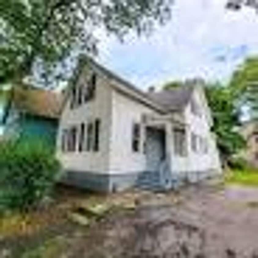
60 Lime St Unit Upper
Rochester, NY 14606
Favorites
585-210-3340
-
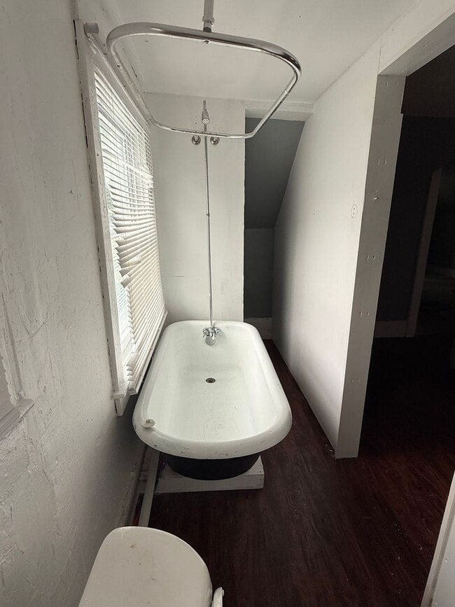
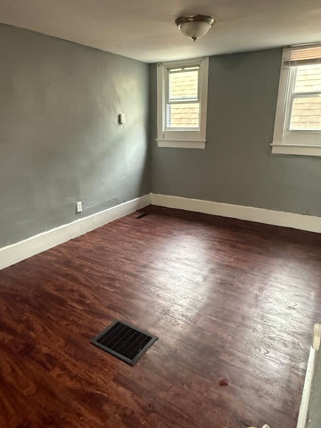
Bedrooms
1
-
Bathrooms
1
-
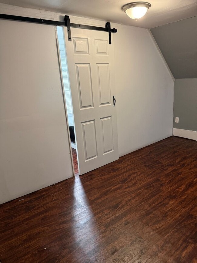
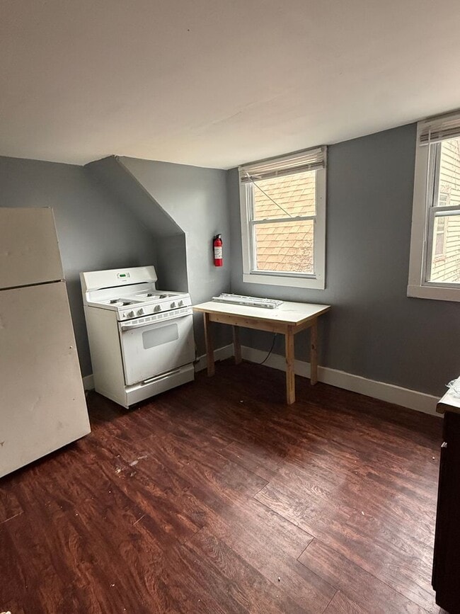
Square Feet
650 sq ft
-
Available
Available Now
60 Lime St Unit Upper

Favorites
Contact
- Listed by FC Asset Management | FC Asset Management
- Phone Number
- Contact
Location
Get Directions
On the west side of Rochester set into the nook of Interstate 390 and 490, Lyell-Otis is a prime suburban spot for Rochester residents looking to stay close to the city but who want a bit more space and quiet. Lyell-Otis’ western border is formed partly by the interstate and partly by the Erie Canal. The neighborhood holds affordable, low-rise apartments and classic mill-style houses. The heart of Rochester is just 10 minutes away, meaning residents can access the sites and bites of downtown easily. Living in Lyell-Otis presents renters will a small, close-knit community with access to good schools and well-maintained parks. Lyell Avenue holds most of the area’s restaurants and shops, while Lexington Avenue connects to the Genesee River and Maple Park.
Learn more about living in Lyell-Otis
Education
| Colleges & Universities | Distance | ||
|---|---|---|---|
| Colleges & Universities | Distance | ||
| Drive: | 4 min | 1.9 mi | |
| Drive: | 4 min | 2.2 mi | |
| Drive: | 5 min | 2.4 mi | |
| Drive: | 7 min | 3.5 mi |
60 Lime St Unit Upper is within 4 minutes or 1.9 miles from Monroe C.C., Damon City Campus. It is also near Univ. of Rochester, Eastman and Univ. of Rochester, Mt. Hope.
Getting Around
 What do Walkability, Transit, Drivability, and Bikeability mean?
Walkability measures the walking distance to day-to-day needs.
Transit measures access to public transportation.
Drivability measures congestion, parking availability, and access to major roads.
Bikeability measures the suitability for cycling.
How It Works
What do Walkability, Transit, Drivability, and Bikeability mean?
Walkability measures the walking distance to day-to-day needs.
Transit measures access to public transportation.
Drivability measures congestion, parking availability, and access to major roads.
Bikeability measures the suitability for cycling.
How It Works
Moderately Walkable
Walkability
60
/ 100
Some Public Transit
Transit
50
/ 100
Very Drivable
Drivability
80
/ 100
Moderately Bikeable
Bikeability
60
/ 100
Scores provided by
-
Soundscore™
-
/ 100
Traffic
-Airport
-Businesses
-Scores provided by
HowLoud What is a Sound Score Rating? A Sound Score Rating aggregates noise caused by vehicle traffic, airplane traffic and local sources. How It WorksYou May Also Like
Similar Rentals Nearby


60 Lime St
Rochester, NY 14606